Tracy Ridge Trail Loop C
- 1.4 mi
- round trip
- 951 ft
- climb
- 2,067 ft
- high point
- Out and back
- route
- Jul–Sep
- best months
Is Tracy Ridge Trail Loop C open right now?
Closure in the area
There's a closure order in Allegheny National Forest. It doesn't name Tracy Ridge Trail Loop C, so check the source for the area it covers (3 listed).
Supervisor's Office Temporarily Closed
Agency closure covering Allegheny National Forest · USFS · Allegheny National Forest
Road Closure on Forest Road 154 for Bridge Replacement
Agency closure covering Allegheny National Forest · USFS · Allegheny National Forest
Kane Fields Area Closures
Agency closure covering Allegheny National Forest · Order 09-19-26-001 · USFS · Allegheny National Forest
Forest Order 09-19-11-01 Nansen Area Closure
Agency alert covering Allegheny National Forest · Order 09-19-11-01 · USFS · Allegheny National Forest
As of · Source: USFS · Allegheny National Forest. Agencies don't list every closure — check before you go.
Tracy Ridge Trail Loop C is an easy loop hike of about 2.8 miles on Forest Service land in Pennsylvania's Allegheny National Forest, within the Bradford Ranger District. The trail rises about 496 feet in one direction, with the high point at 2,067 feet and the low point at 1,950 feet. The climb is steady, with the steepest stretch at about 1.2 miles in. Late spring and early fall tend to be the most comfortable times to go. Typical averages from a nearby weather station at Bradford run around 68°F highs in May and 71°F highs in September, with July the warmest month at about 79°F. That station sits roughly 400 feet lower than the trail, so temperatures on the ridge run a little cooler. The loop takes about 1.5 hours to complete. Gowango is about 0.4 miles away and Tracy Ridge is about 1.2 miles away. For camping, Tracy Ridge Rec Area is about 1.7 miles off, and Handsome Lake Boat Access Campground is about 1.9 miles away.
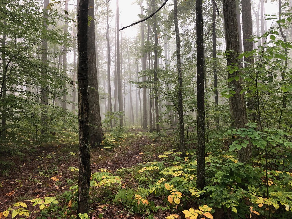 GowangoHikingPhoto: daveynin, CC BY 2.0 (via Flickr)0.4 mi
- Tracy RidgeHiking1.2 mi
- JohnnycakeHiking1.3 mi
- Tracy Ridge Rec AreaCamping1.7 mi
- Handsome Lake Boat Access CampgroundCamping1.9 mi
- Rim Rock BoulderingRock climbing7.2 mi
- Rim RockRock climbing7.3 mi
- Allegheny ReservoirLake fishing8.9 mi
Source: Roamze catalog (indexable pages within 10 miles, PostGIS distance)
- GowangoHiking · Next doorPhoto: daveynin, CC BY 2.0 (via Flickr)
 Flagg TrailHiking · ~12 min drivePhoto: Ryan Hallock, CC BY 2.0 (via Flickr)
- Robert Frost Interpretive - New YorkHiking · ~3 min drive
- Sugar RunHiking · ~4 min drive
 Jrembt - SenecaHiking · ~12 min drivePhoto: Andy Arthur on Flickr, CC BY 2.0 (via Wikimedia Commons)
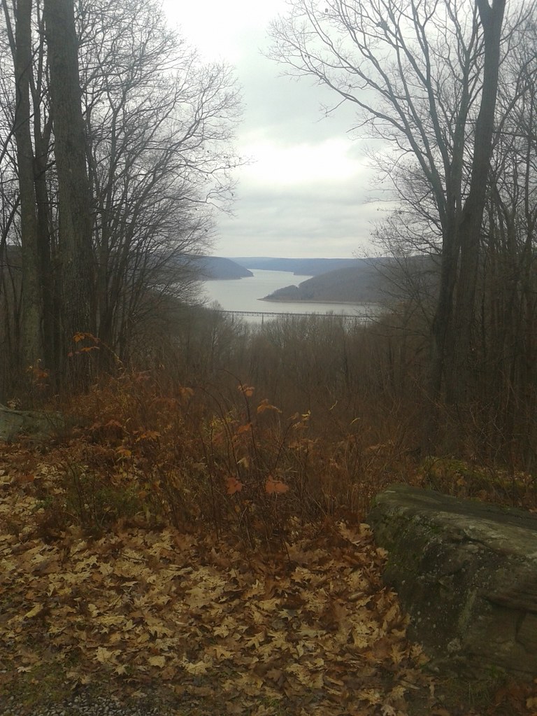 Jrembt - VulpesHiking · ~13 min drivePhoto: andyarthur, CC BY 2.0 (via Flickr)
- Finger Lakes TrailHiking · ~6 min drive
 Sams RocksHiking · ~12 min drivePhoto: U.S. Army Corps of Engineers, photographer not specified or unknown, Public domain (via Wikimedia Commons)
 Eastwood Meadows TrailHiking · ~18 min drivePhoto: javajoe6, CC BY-SA 3.0 (via Wikimedia Commons)
- Morrison Hiking LoopHiking · ~10 min drive
Best time to visit Tracy Ridge Trail Loop C
Best months: July–September. Best months have typical highs of 55–85 °F, lows of 30 °F or warmer (32 °F where the station doesn't record snow), at most one snowy day and no more than 12 wet days.
Jan
31° / 13°
16 wet
Feb
33° / 13°
13 wet
Mar
42° / 21°
13 wet
Apr
56° / 32°
13 wet
May
68° / 42°
13 wet
Jun
75° / 51°
13 wet
Jul
79° / 55°
12 wet
Aug
78° / 54°
12 wet
Sep
71° / 47°
12 wet
Oct
59° / 37°
14 wet
Nov
46° / 28°
15 wet
Dec
35° / 20°
16 wet
Typical high / low (°F) and days with rain or snow, 1991–2020. Measured at Bradford 4sw Rsch 5, PA, 10.5 mi away at 1,660 ft. This station doesn't record snowfall. Source: NOAA NCEI U.S. Climate Normals 1991–2020.
Map and trail data © OpenStreetMap contributors
