Jrembt - Seneca
 Photo: Andy Arthur on Flickr, CC BY 2.0 (via Wikimedia Commons)
- 3.0 mi
- round trip
- 655 ft
- climb
- 1,976 ft
- high point
- Out and back
- route
- Jul–Sep
- best months
Is Jrembt - Seneca open right now?
Closure in the area
There's a closure order in Allegheny National Forest. It doesn't name Jrembt - Seneca, so check the source for the area it covers (3 listed).
ACTIVE: Tracy Run Wildfire
Agency closure covering Allegheny National Forest · USFS · Allegheny National Forest
Road Closure on Forest Road 154 for Bridge Replacement
Agency closure covering Allegheny National Forest · USFS · Allegheny National Forest
Kane Fields Area Closures
Agency closure covering Allegheny National Forest · Order 09-19-26-001 · USFS · Allegheny National Forest
Forest Order 09-19-11-01 Nansen Area Closure
Agency alert covering Allegheny National Forest · Order 09-19-11-01 · USFS · Allegheny National Forest
As of · Source: USFS · Allegheny National Forest. Agencies don't list every closure — check before you go.
Jrembt - Seneca is a 3-mile out-and-back hike in the Bradford Ranger District of Pennsylvania's Allegheny National Forest, managed by the Forest Service. The trail rises from about 1,924 feet to a high point of 1,976 feet, with a total elevation gain of 655 feet over the round trip. The steepest stretch comes at about 1.2 miles, where the grade reaches 11 percent. The route is rated moderate, and the trail surface is natural. Bikes are allowed, but horses are not. Summer is the most comfortable time to go. Typical averages from a nearby weather station show July highs around 79°F with lows near 55°F, while winter highs stay in the low 30s. The hike takes about 1.5 hours. The Jrembt - Blacksnake and Jrembt - Ohi:yo Way trails start within half a mile. Old State Road Campground is about a mile away, and Rim Rock offers climbing at roughly 1.4 miles.
- Jrembt - BlacksnakeHikingPhoto: Andy Arthur on Flickr, CC BY 2.0 (via Wikimedia Commons)0.2 mi
- Jrembt - Ohi:yo WayHiking0.4 mi
- Old State Road CampgroundCamping1 mi
- Rim RockRock climbing1.4 mi
- Rim Rock BoulderingRock climbing1.4 mi
- Pine Grove Boat toCamping1.6 mi
- Allegheny ReservoirLake fishing2.4 mi
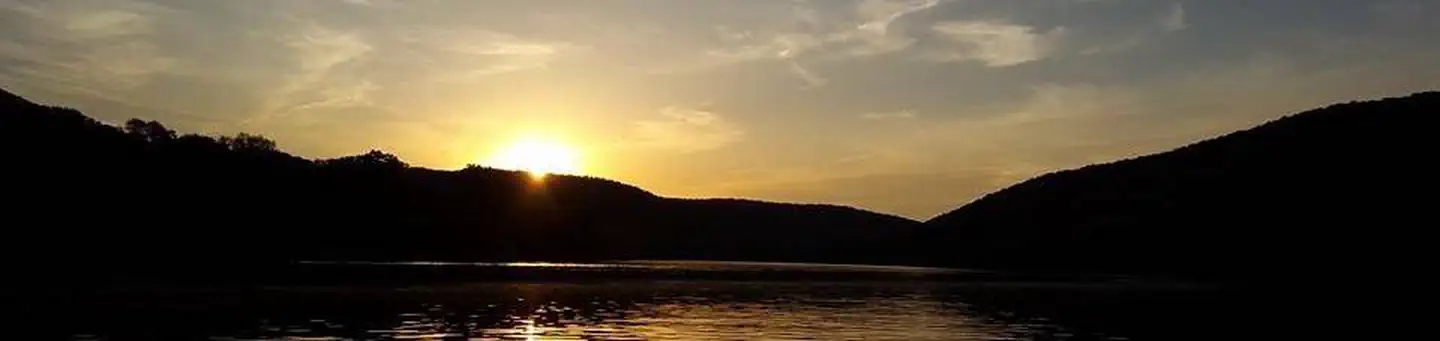 Red BridgeLake fishing6.9 mi
Source: Roamze catalog (indexable pages within 10 miles, PostGIS distance)
- Jrembt - BlacksnakeHiking · Next doorPhoto: Andy Arthur on Flickr, CC BY 2.0 (via Wikimedia Commons)
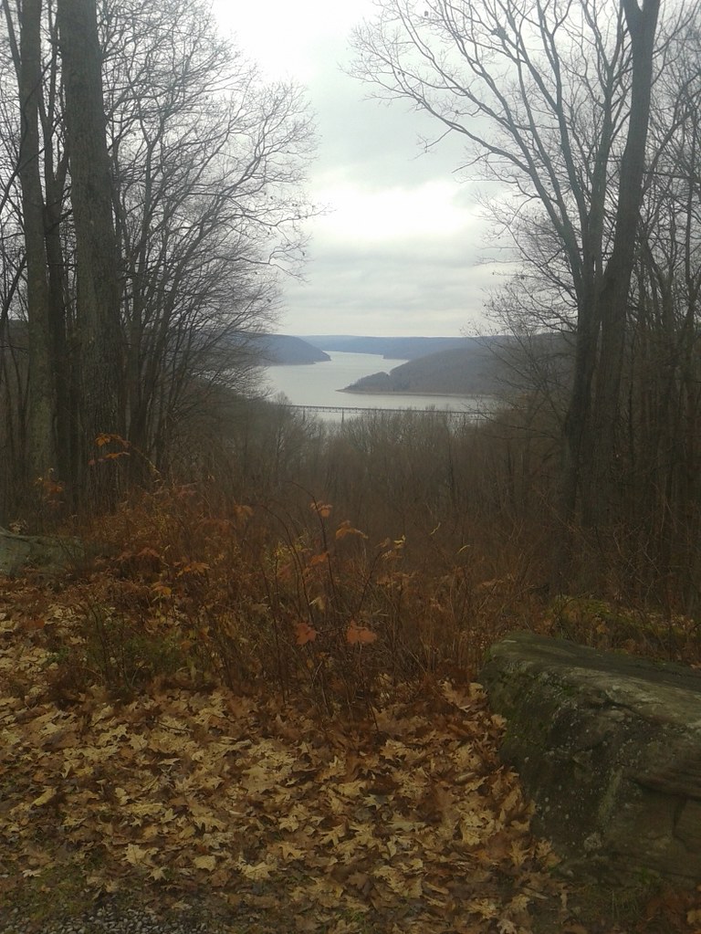 Jrembt - VulpesHiking · ~2 min drivePhoto: andyarthur, CC BY 2.0 (via Flickr)
- Jrembt - ElijahHiking · ~3 min drive
- Sugar RunHiking · ~7 min drive
 Rimrock OverlookHiking · ~1 min drivePhoto: U.S. Army Corps of Engineers, photographer not specified or unknown, Public domain (via Wikimedia Commons)
- Jrembt - Ohi:yo WayHiking · Next door
- Rimrock Hiking LoopHiking · ~6 min drive
- Sams RocksHiking · ~1 min drivePhoto: U.S. Army Corps of Engineers, photographer not specified or unknown, Public domain (via Wikimedia Commons)
- Jrembt - LaurelHiking · Next door
- Morrison Hiking LoopHiking · ~6 min drive
Best time to visit Jrembt - Seneca
Best months: July–September. Best months have typical highs of 55–85 °F, lows of 30 °F or warmer (32 °F where the station doesn't record snow), at most one snowy day and no more than 12 wet days.
Jan
31° / 13°
16 wet
Feb
33° / 13°
13 wet
Mar
42° / 21°
13 wet
Apr
56° / 32°
13 wet
May
68° / 42°
13 wet
Jun
75° / 51°
13 wet
Jul
79° / 55°
12 wet
Aug
78° / 54°
12 wet
Sep
71° / 47°
12 wet
Oct
59° / 37°
14 wet
Nov
46° / 28°
15 wet
Dec
35° / 20°
16 wet
Typical high / low (°F) and days with rain or snow, 1991–2020. Measured at Bradford 4sw Rsch 5, PA, 13.3 mi away at 1,660 ft. This station doesn't record snowfall. Source: NOAA NCEI U.S. Climate Normals 1991–2020.
