Sams Rocks
 Photo: U.S. Army Corps of Engineers, photographer not specified or unknown, Public domain (via Wikimedia Commons)
- 3.6 mi
- round trip
- 932 ft
- climb
- 2,027 ft
- high point
- Out and back
- route
- Jul–Sep
- best months
Is Sams Rocks open right now?
Closure in the area
There's a closure order in Allegheny National Forest. It doesn't name Sams Rocks, so check the source for the area it covers (3 listed).
ACTIVE: Tracy Run Wildfire
Agency closure covering Allegheny National Forest · USFS · Allegheny National Forest
Road Closure on Forest Road 154 for Bridge Replacement
Agency closure covering Allegheny National Forest · USFS · Allegheny National Forest
Kane Fields Area Closures
Agency closure covering Allegheny National Forest · Order 09-19-26-001 · USFS · Allegheny National Forest
Forest Order 09-19-11-01 Nansen Area Closure
Agency alert covering Allegheny National Forest · Order 09-19-11-01 · USFS · Allegheny National Forest
As of · Source: USFS · Allegheny National Forest. Agencies don't list every closure — check before you go.
Sams Rocks is a moderate, 3.6-mile out-and-back hike in Pennsylvania's Allegheny National Forest, within the Bradford Ranger District. The trail climbs from about 1,600 feet to a high point of 2,027 feet, with a total elevation gain of 932 feet over the full trip. The steepest stretch comes right at the start, with a 25% grade at the first 0.1 mile. The route is a natural-surface trail, and bikes are allowed. Horses are not. The Forest Service manages the land, and the hike is open year-round. Late spring and early fall tend to be the most comfortable times to go. Typical averages from a nearby weather station show May highs around 68°F and September highs around 71°F, while July peaks near 79°F and January highs sit around 31°F. Rimrock Overlook lies just 0.2 miles away, and the Rim Rock climbing area is about 0.7 miles off. Old State Road Campground is roughly a mile from the trail, and Allegheny Reservoir is about 3 miles away for fishing.
Best time to go · Jul–Sep
Best time to visit Sams Rocks
Best months: July–September. Best months have typical highs of 55–85 °F, lows of 30 °F or warmer (32 °F where the station doesn't record snow), at most one snowy day and no more than 12 wet days.
Jan
31° / 13°
16 wet
Feb
33° / 13°
13 wet
Mar
42° / 21°
13 wet
Apr
56° / 32°
13 wet
May
68° / 42°
13 wet
Jun
75° / 51°
13 wet
Jul
79° / 55°
12 wet
Aug
78° / 54°
12 wet
Sep
71° / 47°
12 wet
Oct
59° / 37°
14 wet
Nov
46° / 28°
15 wet
Dec
35° / 20°
16 wet
Typical high / low (°F) and days with rain or snow, 1991–2020. Measured at Bradford 4sw Rsch 5, PA, 12.7 mi away at 1,660 ft. This station doesn't record snowfall. Source: NOAA NCEI U.S. Climate Normals 1991–2020.
Keep exploring — more trails worth the drive
Photo: U.S. Army Corps of Engineers, photographer not specified or unknown, Public domain (via Wikimedia Commons)Rimrock Overlook
Next door
A 2.07-mile out-and-back Pennsylvania trail with concrete, dirt, and wooden staircase surfaces, connecting to NRSR 454.
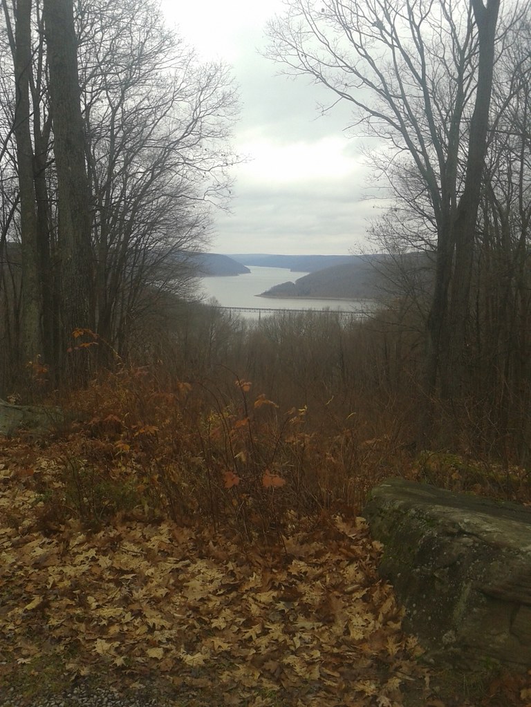 Photo: andyarthur, CC BY 2.0 (via Flickr)
Jrembt - Vulpes
~2 min drive
Easy 1.05-mile out-and-back trail in Pennsylvania.
HIKE
Jrembt - Elijah
~3 min drive
14.44-mile out-and-back trail in Pennsylvania with 836 ft elevation gain.
HIKE
Sugar Run
~7 min drive
5.96-mile out-and-back trail in Pennsylvania with 1,728 ft elevation gain.
 Photo: Andy Arthur on Flickr, CC BY 2.0 (via Wikimedia Commons)
Jrembt - Seneca
~1 min drive
3.00-mile out-and-back trail in Pennsylvania with moderate difficulty.
HIKE
Jrembt - Laurel
~2 min drive
4.66-mile out-and-back trail in Pennsylvania with 251 ft gain.
HIKE
Rimrock Hiking Loop
~4 min drive
A 14.01-mile hard out-and-back trail in Pennsylvania.
Photo: Andy Arthur on Flickr, CC BY 2.0 (via Wikimedia Commons)Jrembt - Blacksnake
~2 min drive
Easy 1.35-mile out-and-back trail in Pennsylvania.
HIKE
Jrembt - Devils Drop
~2 min drive
Easy 1.81-mile loop in Pennsylvania.
HIKE
Morrison Hiking Loop
~5 min drive
An easy 9.35-mile out-and-back trail in Pennsylvania perfect for casual hikers seeking a straightforward day hike.
Also worth it near here
