Robert Frost Interpretive - New York
- 42.6 mi
- one way
- 10,615 ft
- climb
- 4,003 ft
- high point
- Point to point
- route
Is Robert Frost Interpretive - New York open right now?
Closure in the area
There's a closure order in Allegheny National Forest. It doesn't name Robert Frost Interpretive - New York, so check the source for the area it covers (3 listed).
Supervisor's Office Temporarily Closed
Agency closure covering Allegheny National Forest · USFS · Allegheny National Forest
Road Closure on Forest Road 154 for Bridge Replacement
Agency closure covering Allegheny National Forest · USFS · Allegheny National Forest
Kane Fields Area Closures
Agency closure covering Allegheny National Forest · Order 09-19-26-001 · USFS · Allegheny National Forest
Forest Order 09-19-11-01 Nansen Area Closure
Agency alert covering Allegheny National Forest · Order 09-19-11-01 · USFS · Allegheny National Forest
As of · Source: USFS · Allegheny National Forest. Agencies don't list every closure — check before you go.
Robert Frost Interpretive is a long and steep hike in the Bradford Ranger District of the Allegheny National Forest in Pennsylvania. The route is a point-to-point trail that gains about 10,600 feet in elevation over 42.6 miles, taking the hiker from a low of 1,286 feet to a high of 4,003 feet. The Forest Service manages the land. The trail is rated hard, and it takes about 19.5 hours to complete. That makes it a full-day commitment, so plan on a long day or two. The climb is continuous, and the route is not a loop, so you'll need a place to stay along the way. Handsome Lake Boat Access Campground and the Handsome Lake hike both sit about 0.3 miles from the start. Sugar Run is about half a mile away, and the Johnnycake hike is about 0.8 miles off.
- Handsome Lake Boat Access CampgroundCamping0.3 mi
- Handsome LakeHiking0.3 mi
- Sugar RunHiking0.5 mi
- JohnnycakeHiking0.8 mi
- Hooks Brook Boat Access CampgroundCamping3.1 mi
- Rim Rock BoulderingRock climbing5.3 mi
- Rim RockRock climbing5.3 mi
- Allegheny ReservoirLake fishing6.9 mi
Source: Roamze catalog (indexable pages within 10 miles, PostGIS distance)
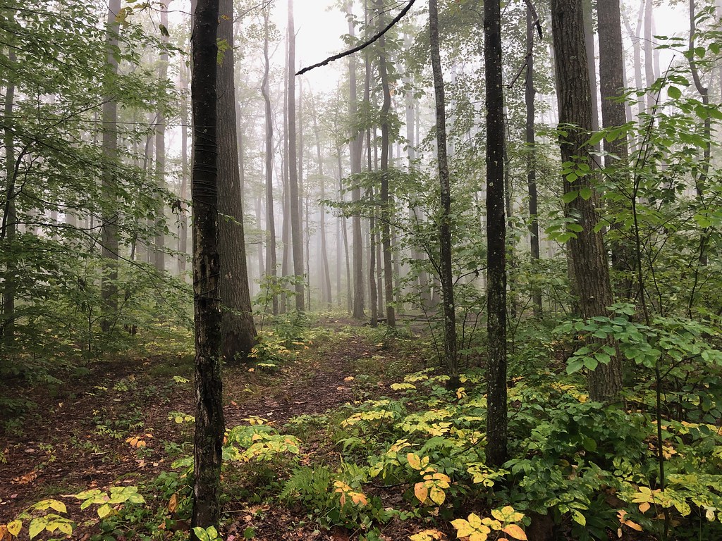 GowangoHiking · ~4 min drivePhoto: daveynin, CC BY 2.0 (via Flickr)
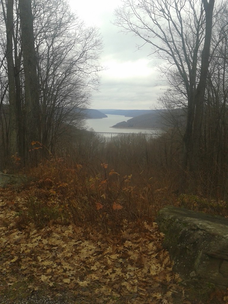 Jrembt - VulpesHiking · ~10 min drivePhoto: andyarthur, CC BY 2.0 (via Flickr)
- Sugar RunHiking · Next door
- Rimrock Hiking LoopHiking · ~8 min drive
 Jrembt - SenecaHiking · ~8 min drivePhoto: Andy Arthur on Flickr, CC BY 2.0 (via Wikimedia Commons)
 Flagg TrailHiking · ~16 min drivePhoto: Ryan Hallock, CC BY 2.0 (via Flickr)
- Finger Lakes TrailHiking · ~10 min drive
 Sams RocksHiking · ~8 min drivePhoto: U.S. Army Corps of Engineers, photographer not specified or unknown, Public domain (via Wikimedia Commons)
- Handsome LakeHiking · Next door
- Jrembt - ElijahHiking · ~11 min drive
