Finger Lakes Trail
- 388 mi
- one way
- 2,327 ft
- high point
- Point to point
- route
- Hard
- difficulty
- Jul–Sep
- best months
Is Finger Lakes Trail open right now?
Closure in the area
There's a closure order in Allegheny National Forest. It doesn't name Finger Lakes Trail, so check the source for the area it covers (3 listed).
Supervisor's Office Temporarily Closed
Agency closure covering Allegheny National Forest · USFS · Allegheny National Forest
Road Closure on Forest Road 154 for Bridge Replacement
Agency closure covering Allegheny National Forest · USFS · Allegheny National Forest
Kane Fields Area Closures
Agency closure covering Allegheny National Forest · Order 09-19-26-001 · USFS · Allegheny National Forest
Forest Order 09-19-11-01 Nansen Area Closure
Agency alert covering Allegheny National Forest · Order 09-19-11-01 · USFS · Allegheny National Forest
As of · Source: USFS · Allegheny National Forest. Agencies don't list every closure — check before you go.
The Finger Lakes Trail is an extensive point-to-point hiking route spanning nearly 388 miles across Pennsylvania, offering long-distance backpackers a challenging multi-day adventure through diverse terrain and landscapes. This trail traverses the heart of Pennsylvania's natural regions, connecting remote woodlands, valleys, and ridgelines while providing access to the state's varied ecosystems and geological features. The sheer distance and commitment required make this a premier destination for experienced hikers seeking an immersive wilderness experience.
 Flagg TrailHiking · ~6 min drivePhoto: Ryan Hallock, CC BY 2.0 (via Flickr)
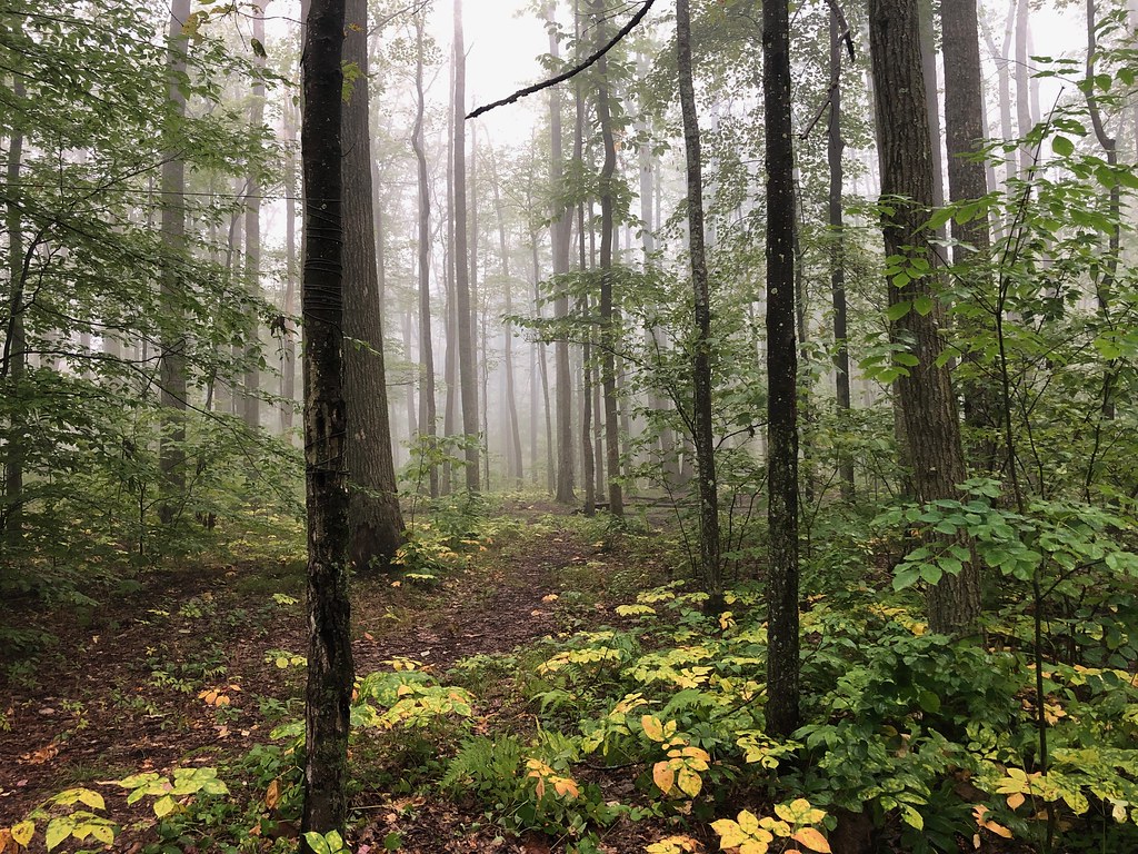 GowangoHiking · ~7 min drivePhoto: daveynin, CC BY 2.0 (via Flickr)
 Finger Lakes TrailHiking · ~17 min drivePhoto: javajoe6, CC BY-SA 3.0 (via Wikimedia Commons)
- Robert Frost Interpretive - New YorkHiking · ~10 min drive
 Eastwood Meadows TrailHiking · ~13 min drivePhoto: javajoe6, CC BY-SA 3.0 (via Wikimedia Commons)
 Jrembt - SenecaHiking · ~18 min drivePhoto: Andy Arthur on Flickr, CC BY 2.0 (via Wikimedia Commons)
- Sugar RunHiking · ~11 min drive
- Rimrock Hiking LoopHiking · ~17 min drive
 Osgood TrailHiking · ~19 min drivePhoto: daveynin, CC BY 2.0 (via Flickr)
 Sams RocksHiking · ~18 min drivePhoto: U.S. Army Corps of Engineers, photographer not specified or unknown, Public domain (via Wikimedia Commons)
Best time to visit Finger Lakes Trail
Best months: July–September. Best months have typical highs of 55–85 °F, lows of 30 °F or warmer (32 °F where the station doesn't record snow), at most one snowy day and no more than 12 wet days.
Jan
31° / 13°
16 wet
Feb
33° / 13°
13 wet
Mar
42° / 21°
13 wet
Apr
56° / 32°
13 wet
May
68° / 42°
13 wet
Jun
75° / 51°
13 wet
Jul
79° / 55°
12 wet
Aug
78° / 54°
12 wet
Sep
71° / 47°
12 wet
Oct
59° / 37°
14 wet
Nov
46° / 28°
15 wet
Dec
35° / 20°
16 wet
Typical high / low (°F) and days with rain or snow, 1991–2020. Measured at Bradford 4sw Rsch 5, PA, 11.7 mi away at 1,660 ft. The station sits about 700 ft lower than this place, so expect it a little cooler here. This station doesn't record snowfall. Source: NOAA NCEI U.S. Climate Normals 1991–2020.
