Osgood Trail
 Photo: daveynin, CC BY 2.0 (via Flickr)
- 2.2 mi
- loop
- 667 ft
- climb
- 2,089 ft
- high point
- Loop
- route
- Jun–Sep
- best months
Osgood Trail is a 2.2-mile hike in Allegany State Park in western New York, managed by State Park and Recreation. The trail rises from about 1,440 feet to a high point of 2,089 feet, with a total elevation gain of 667 feet. The climb is rated easy, and the route is short enough to fit into a single afternoon. The trail starts with the steepest stretch, a 36% grade at about 0.15 miles in, before the climb eases. Summer is the most comfortable time to go. Typical averages from a nearby weather station show July highs around 79°F and lows near 56°F, while temperatures at the high point run cooler than those figures. The hike takes about an hour. Beehunter Trail lies about a mile away, and the Finger Lakes Trail is roughly 1.8 miles off. Snowsnake Run, a cross-country ski route, is about 1.1 miles away. Climbers can find Thunder Rocks about 5 miles from the trail.
Best time to go · Jun–Sep
Best time to visit Osgood Trail
Best months: June–September. Best months have typical highs of 55–85 °F, lows of 30 °F or warmer (32 °F where the station doesn't record snow), at most one snowy day and no more than 12 wet days.
Jan
32° / 15°
17 wet
Feb
34° / 15°
14 wet
Mar
42° / 21°
13 wet
Apr
56° / 32°
13 wet
May
68° / 43°
13 wet
Jun
76° / 52°
12 wet
Jul
79° / 56°
12 wet
Aug
77° / 55°
11 wet
Sep
71° / 48°
11 wet
Oct
59° / 38°
13 wet
Nov
47° / 30°
14 wet
Dec
36° / 22°
16 wet
Typical high / low (°F) and days with rain or snow, 1991–2020. Measured at Allegany Sp, NY, 0.6 mi away at 1,500 ft. The station sits about 600 ft lower than this place, so expect it a little cooler here. This station doesn't record snowfall. Source: NOAA NCEI U.S. Climate Normals 1991–2020.
Keep exploring — more trails worth the drive
 Photo: javajoe6, CC BY-SA 3.0 (via Wikimedia Commons)
Finger Lakes Trail
~3 min drive
53.10-mile point-to-point trail in New York with 6,772 ft of elevation gain
 Photo: andyarthur, CC BY 2.0 (via Flickr)
Patterson Trail
~4 min drive
3.12-mile out-and-back hike in New York with 646 ft elevation gain
 Photo: Russ Nelson, CC BY-SA 2.0 (via Flickr)
Pat McGee Trail
~19 min drive
10.42-mile out-and-back hike in New York with 1,605 ft gain/loss
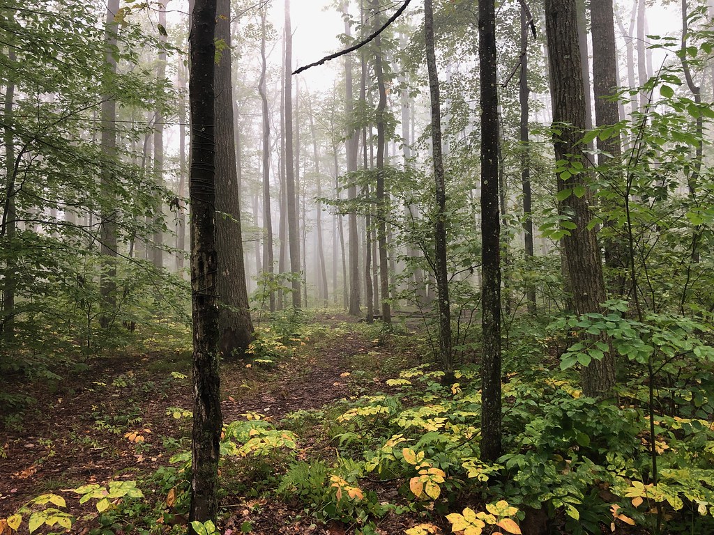 Photo: daveynin, CC BY 2.0 (via Flickr)
Gowango
~24 min drive
3.15-mile out-and-back trail in Pennsylvania with 1,048 ft of elevation gain.
HIKE
Sugar Run
~28 min drive
5.96-mile out-and-back trail in Pennsylvania with 1,728 ft elevation gain.
Photo: andyarthur, CC BY 2.0 (via Flickr)Sweetwater Trail
~4 min drive
2.37-mile loop in New York with 631 ft gain and 658 ft loss.
HIKE
Finger Lakes Trail
~19 min drive
A 388-mile point-to-point Pennsylvania trail for serious long-distance backpackers.
 Photo: U.S. Army Corps of Engineers, photographer not specified or unknown, Public domain (via Wikimedia Commons)
Sams Rocks
~35 min drive
3.60-mile out-and-back trail in Pennsylvania with moderate difficulty.
Photo: andyarthur, CC BY 2.0 (via Flickr)Christian Hollow Loop
~5 min drive
1.62-mile loop in New York with 433 ft elevation gain
HIKE
Bullis Hollow
~23 min drive
An 8.39-mile moderate out-and-back trail in Pennsylvania with single-track, unimproved surfaces and connections to the North Country Trail network.

Map and trail data © OpenStreetMap contributors
