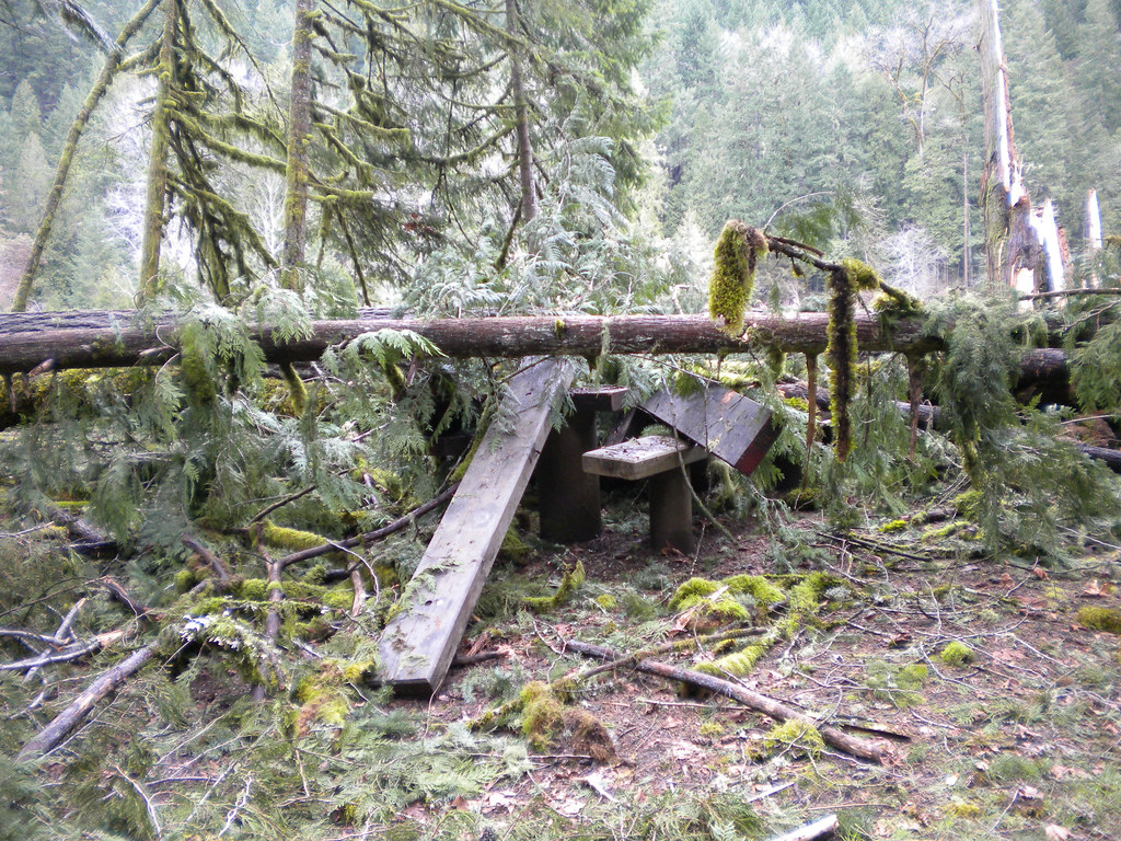
Moonfalls
- 3,028 ft
- elevation
- Jun–Oct
- best months
Caution today
Agency alerts are in effect for this area; weather is good · USFS, OpenWeather · checked 7 h ago
Is Moonfalls open right now?
Alert in the area
The Forest Service lists 4 alerts for Umpqua National Forest.
Fall Prescribed Burning
Agency alert covering Umpqua National Forest · USFS · Umpqua National Forest
Poole Creek Campground Closed for the 2026 Season
Agency alert covering Umpqua National Forest · USFS · Umpqua National Forest
National Forest Service Road 28 Roadwork
Agency alert covering Umpqua National Forest · USFS · Umpqua National Forest
Blue-Green Algae Precaution for Diamond and Lemolo Lakes
Agency alert covering Umpqua National Forest · USFS · Umpqua National Forest
As of · Source: USFS · Umpqua National Forest. Agencies don't list every closure — check before you go.
Moonfalls is a waterfall in the Cottage Grove Ranger District of Oregon's Umpqua National Forest, about 5.6 miles from the town of Westfir. It sits at roughly 3,028 feet, and the surrounding area offers several other destinations within a few miles, including Spirit Falls and Pinard Falls. Summer is the most comfortable time to visit. Typical averages from a nearby weather station show July and August highs around 79°F with only about four wet days a month, while winter brings highs in the upper 30s and frequent snow days from December through February. Nearby, Spirit Falls is about 1.5 miles away and Pinard Falls about 1.7 miles. The Lone Wolf/Patterson Mountain Trail #3470 is also close by. For paddling, Layng Creek is about 2.8 miles off.
- Elevation
- 3,028 ft
Elevation from USGS 3D Elevation Program terrain data (about 10 m resolution).
- Spirit FallsHiking1.5 mi
- Lone Wolf/Patterson Mountain Trail #3470Hiking1.7 mi
- Pinard FallsHiking1.7 mi
- Layng CreekCanoeing2.8 mi
- Deception CreekCanoeing2.9 mi
- Black Canyon Campground (Willamette National Forest, OR)Camping5 mi
- Junetta CreekCanoeing5.1 mi
- Black Canyon Campground and PicnicCamping5.4 mi
Source: Roamze catalog (indexable pages within 10 miles, PostGIS distance)
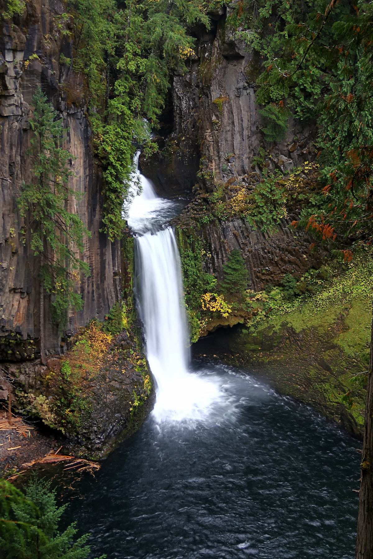 Toketee FallsWaterfall · ~58 min drivePhoto: Alexlockhart, CC BY-SA 4.0 (via Wikimedia Commons)
 Yakso FallsWaterfall · ~1h 1m drivePhoto: Donaleen, CC BY 2.0 (via Wikimedia Commons)
 Watson FallsWaterfall · ~1h 1m drivePhoto: Bindi Çapriqi, CC BY-SA 3.0 (via Wikimedia Commons)
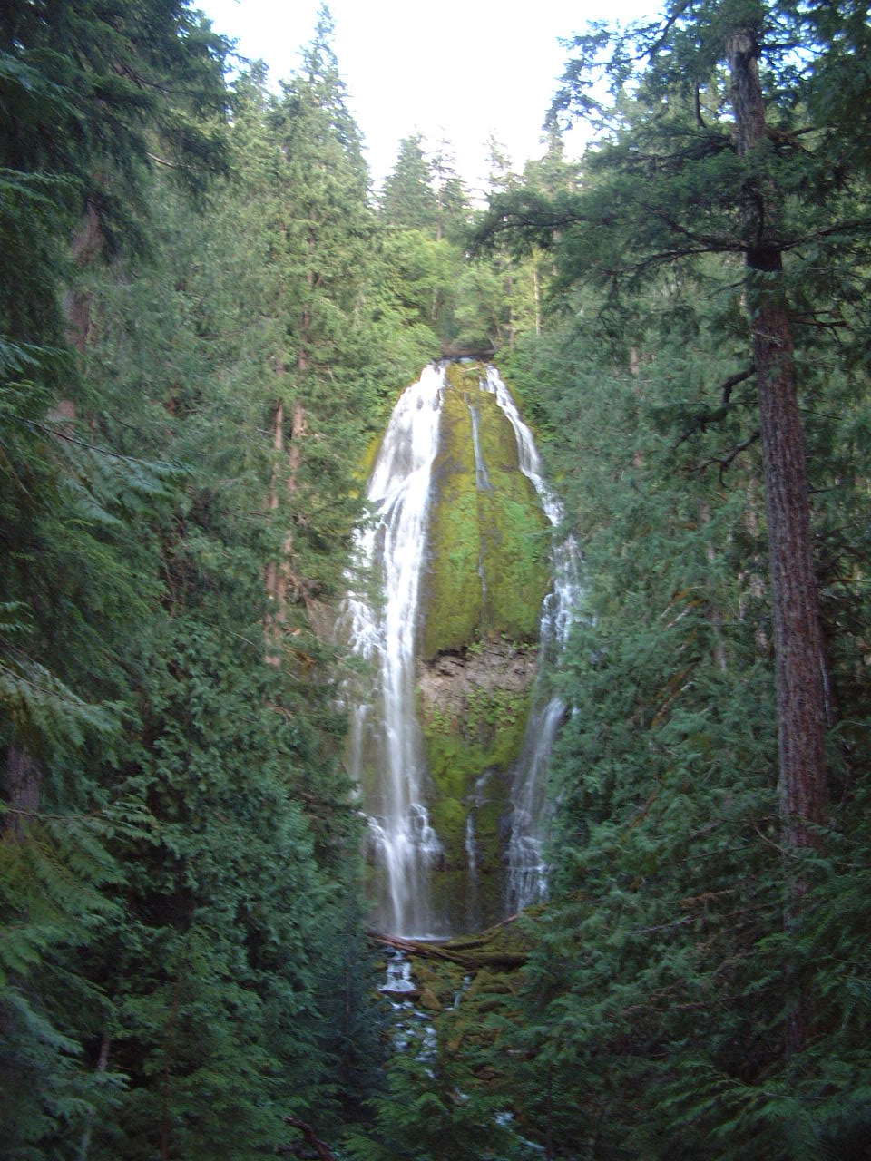 Proxy FallsWaterfall · ~1h 17m drivePhoto: Ljmajer, Public domain (via Wikimedia Commons)
- Spirit FallsWaterfall · ~3 min drive
- Pinard FallsWaterfall · ~3 min drive
- Upper Parker FallsWaterfall · ~12 min drive
- Smith FallsWaterfall · ~14 min drive
- Wildwood FallsWaterfall · ~18 min drive
- Grouse Mountain FallsWaterfall · ~20 min drive
Best time to visit Moonfalls
Best months: June–October. Best months have typical highs of 55–85 °F, lows of 30 °F or warmer (32 °F where the station doesn't record snow), at most one snowy day and no more than 12 wet days.
Jan
39° / 27°
17 wet · 10 snow
Feb
42° / 27°
15 wet · 9 snow
Mar
46° / 29°
17 wet · 9 snow
Apr
50° / 32°
17 wet · 5 snow
May
61° / 38°
14 wet · 1 snow
Jun
68° / 43°
9 wet
Jul
79° / 48°
4 wet
Aug
79° / 47°
4 wet
Sep
72° / 43°
6 wet
Oct
58° / 36°
12 wet · 1 snow
Nov
45° / 31°
16 wet · 6 snow
Dec
38° / 26°
18 wet · 11 snow
Typical high / low (°F) and days with rain or snow, 1991–2020. Measured at Lemolo Lake 3 Nnw, OR, 32.5 mi away at 4,077 ft. The station sits about 1,000 ft higher than this place, so expect it a little warmer here. Source: NOAA NCEI U.S. Climate Normals 1991–2020.