Smith Falls
- 2,650 ft
- elevation
- May–Oct
- best months
Is Smith Falls open right now?
Alert in the area
The Forest Service lists 5 alerts for Umpqua National Forest.
Tuttle Creek Road Closure
Agency alert covering Umpqua National Forest · USFS · Umpqua National Forest
Fall Prescribed Burning
Agency alert covering Umpqua National Forest · USFS · Umpqua National Forest
Poole Creek Campground Closed for the 2026 Season
Agency alert covering Umpqua National Forest · USFS · Umpqua National Forest
National Forest Service Road 28 Roadwork
Agency alert covering Umpqua National Forest · USFS · Umpqua National Forest
Blue-Green Algae Precaution for Diamond and Lemolo Lakes
Agency alert covering Umpqua National Forest · USFS · Umpqua National Forest
As of · Source: USFS · Umpqua National Forest. Agencies don't list every closure — check before you go.
Smith Falls is a waterfall in the Cottage Grove Ranger District of Oregon's Umpqua National Forest, about 12 miles from the town of Westfir. It sits at roughly 2,650 feet, and its location makes it an easy addition to a day spent exploring the surrounding trails and waterways. Summer is the most comfortable time to visit. Typical averages from a nearby weather station at Oakridge Fish Hatchery show July and August highs around 80 to 81°F with only two or three wet days a month, while winter brings highs in the low 40s and frequent rain. Champion Creek, a canoeing spot, lies just 0.2 miles away, and the Annie Trail (Noonday Connect) and the Noonday Wagon Trail are both about 0.9 miles off. For an overnight stay, Musick Guard Station is about 2.4 miles away.
- Elevation
- 2,650 ft
Elevation from USGS 3D Elevation Program terrain data (about 10 m resolution).
- Champion CreekCanoeing0.2 mi
- ANNIE TRAIL (NOONDAY CONNECT)Hiking0.9 mi
- Noonday Wagon TrailHiking0.9 mi
- Musick Guard StationCamping2.4 mi
- HoboCamping2.5 mi
- Brice CreekCanoeing2.6 mi
- McKinley RockRock climbing8.6 mi
- Adam's BouldersRock climbing9.7 mi
Source: Roamze catalog (indexable pages within 10 miles, PostGIS distance)
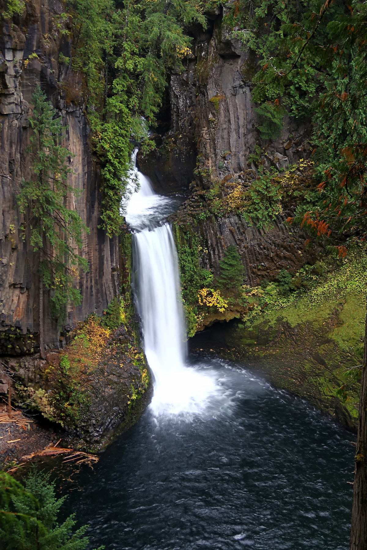 Toketee FallsWaterfall · ~45 min drivePhoto: Alexlockhart, CC BY-SA 4.0 (via Wikimedia Commons)
 Yakso FallsWaterfall · ~47 min drivePhoto: Donaleen, CC BY 2.0 (via Wikimedia Commons)
 Watson FallsWaterfall · ~49 min drivePhoto: Bindi Çapriqi, CC BY-SA 3.0 (via Wikimedia Commons)
- Lower Parker FallsWaterfall · ~4 min drive
- Upper Parker FallsWaterfall · ~4 min drive
- Grouse Mountain FallsWaterfall · ~6 min drive
- Pinard FallsWaterfall · ~11 min drive
- Spirit FallsWaterfall · ~14 min drive
- Wildwood FallsWaterfall · ~18 min drive
- Salmon FallsWaterfall · ~29 min drive
Also worth it near here
 Trestle Creek Trail #1403CHiking · ~3 min drivePhoto: (c) Ed Alverson, some rights reserved (CC BY), CC BY 4.0 (via Wikimedia Commons)
- Musick Guard Station RentalHut camping · ~4 min drive
- Musick Guard StationCamping · ~4 min drive
 Bohemia MountainSummit · ~5 min drivePhoto: United States Forest Service, Public domain (via Wikimedia Commons)
Best time to visit Smith Falls
Best months: May–October. Best months have typical highs of 55–85 °F, lows of 30 °F or warmer (32 °F where the station doesn't record snow), at most one snowy day and no more than 12 wet days.
Jan
44° / 31°
16 wet · 1 snow
Feb
49° / 32°
14 wet · 1 snow
Mar
54° / 34°
16 wet · 1 snow
Apr
59° / 37°
15 wet
May
66° / 43°
11 wet
Jun
71° / 47°
7 wet
Jul
80° / 51°
3 wet
Aug
81° / 50°
2 wet
Sep
76° / 45°
5 wet
Oct
63° / 40°
10 wet
Nov
49° / 35°
15 wet
Dec
42° / 32°
17 wet · 1 snow
Typical high / low (°F) and days with rain or snow, 1991–2020. Measured at Oakridge Fish Hatchery, OR, 13.2 mi away at 1,275 ft. The station sits about 1,400 ft lower than this place, so expect it a little cooler here. Source: NOAA NCEI U.S. Climate Normals 1991–2020.
