Lone Wolf/Patterson Mountain Trail #3470
- 2.4 mi
- round trip
- 1,855 ft
- climb
- 4,574 ft
- high point
- Out and back
- route
Is Lone Wolf/Patterson Mountain Trail #3470 open right now?
Alert in the area
The Forest Service lists 5 alerts for Umpqua National Forest.
Tuttle Creek Road Closure
Agency alert covering Umpqua National Forest · USFS · Umpqua National Forest
Fall Prescribed Burning
Agency alert covering Umpqua National Forest · USFS · Umpqua National Forest
Poole Creek Campground Closed for the 2026 Season
Agency alert covering Umpqua National Forest · USFS · Umpqua National Forest
National Forest Service Road 28 Roadwork
Agency alert covering Umpqua National Forest · USFS · Umpqua National Forest
Blue-Green Algae Precaution for Diamond and Lemolo Lakes
Agency alert covering Umpqua National Forest · USFS · Umpqua National Forest
As of · Source: USFS · Umpqua National Forest. Agencies don't list every closure — check before you go.
Lone Wolf/Patterson Mountain Trail #3470 is a 4.8-mile out-and-back hike in the Cottage Grove Ranger District of Oregon's Umpqua National Forest, managed by the Forest Service. The trail starts at about 4,229 feet and climbs steadily to a high point of 4,574 feet, with a total gain of 1,855 feet for the round trip. The steepest stretch comes at about 1.7 miles in, where the grade reaches 19 percent. The hike is rated moderate. The route is roughly 2.4 miles one way, and the climb is steady rather than a series of short ascents and descents. Nearby, the Lone Wolf/Patterson Mountain hike lies about 0.8 miles away, and Moonfalls is about 1.7 miles off. For paddling, Deception Creek is about 3.4 miles away, and Black Canyon Campground (Willamette National Forest, OR) is about 3.5 miles away.
Local outfitters
- Casey's Riverside RV Resort5 mi away
- Shelter Cove Resort & Marina32 mi away
Not on Roamze yet. Their page has how to reach them.
Conditions and forecast on Patterson Mountain
Daily highs and lows, wind and the chance of precipitation at the summit and route start for the next 7 days, from the Open-Meteo model.
- LONE WOLF/PATTERSON MOUNTAINHiking0.8 mi
- MoonfallsHiking1.7 mi
- Deception CreekCanoeing3.4 mi
- Black Canyon Campground (Willamette National Forest, OR)Camping3.5 mi
- Layng CreekCanoeing3.8 mi
- Black Canyon Campground and PicnicCamping4.2 mi
- (K) Overstory WallRock climbing8.8 mi
- (H) StudioRock climbing8.8 mi
Source: Roamze catalog (indexable pages within 10 miles, PostGIS distance)
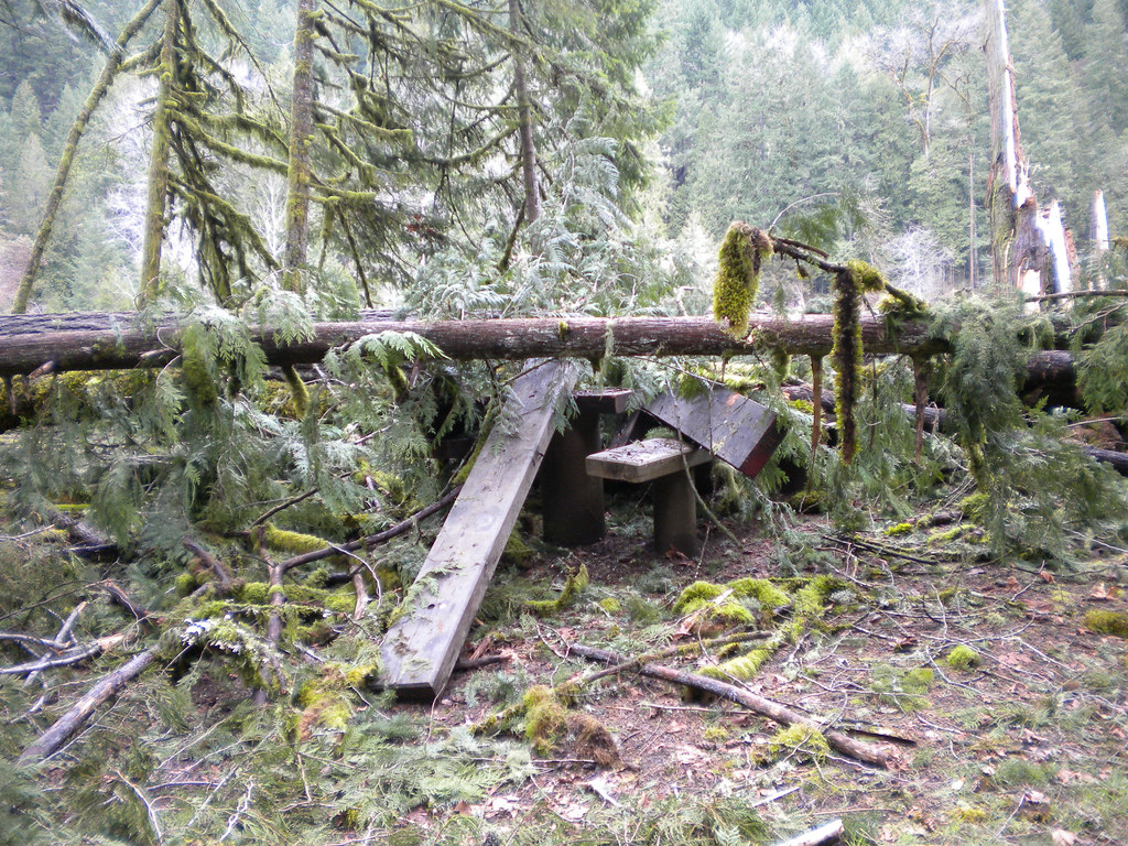 Wren LoopHiking · ~7 min drivePhoto: Forest Service Pacific Northwest Region, Public Domain Mark (via Flickr)
- Deception ButteHiking · ~7 min drivePhoto: Forest Service Pacific Northwest Region, Public Domain Mark (via Flickr)
 Brice Creek Trail #1403Hiking · ~13 min drivePhoto: lamblukas, CC BY 2.0 (via Flickr)
- Brice CreekHiking · ~14 min drivePhoto: lamblukas, CC BY 2.0 (via Flickr)
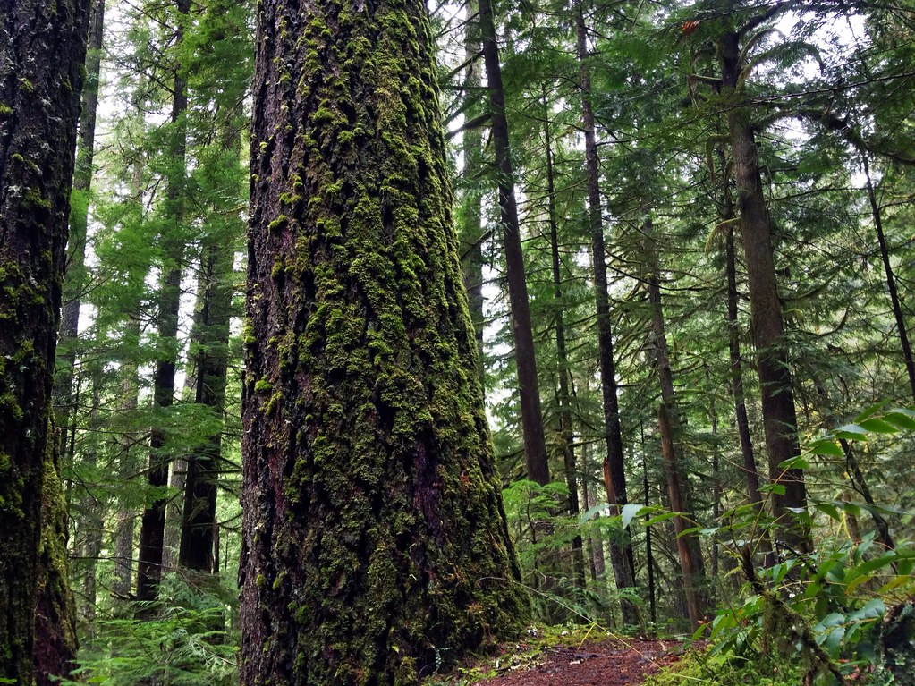 Marten FlumeHiking · ~14 min drivePhoto: James Wellington, CC BY 2.0 (via Flickr)
 North Fork Segment #1Hiking · ~11 min drivePhoto: Bruce Fingerhood from Springfield, Oregon, US, CC BY 2.0 (via Wikimedia Commons)
- Lawler Trail #3473Hiking · ~6 min drive
- Lower Middle ForkHiking · ~8 min drivePhoto: Forest Service Pacific Northwest Region, Public Domain Mark (via Flickr)
- MoonfallsHiking · ~3 min drive
 BRICE CREEKHiking · ~13 min drivePhoto: Alex Abair, CC BY 4.0 (via Wikimedia Commons)
Route details
- Distance
- 2.4 mi round trip
- Climbing
- About 1,855 ft
- Summit
- 4,495 ft
- Difficulty
- Moderate
- Time
- About 1.5 hours
Other routes up Patterson Mountain
Questions about this route
How long is the Lone Wolf/Patterson Mountain Trail #3470 on Patterson Mountain?
About 2.4 mi round trip.
How much elevation gain is on the Lone Wolf/Patterson Mountain Trail #3470?
About 1,855 ft of climbing round trip.
How hard is the Lone Wolf/Patterson Mountain Trail #3470?
It is rated moderate.
How long does the Lone Wolf/Patterson Mountain Trail #3470 take?
About 1.5 hours round trip.
How many routes go up Patterson Mountain?
2: LONE WOLF/PATTERSON MOUNTAIN and Lone Wolf/Patterson Mountain Trail #3470.
Map and trail data © OpenStreetMap contributors
