Antelope Creek
- 20.6 mi
- distance
- 4,563 ft
- high point
- May–Oct
- best months
Antelope Creek is a paddling route in Oregon on Bureau of Land Management land, within the Antelope Creek land unit. The nearest town is a fair distance away, and the surrounding area offers plenty of trails within a few miles, making it easy to pair time on the water with a short walk. Summer is the most comfortable time to paddle. Typical averages from the nearby Howard Prairie Dam weather station show July and August highs around 79°F with lows in the mid-40s and only two or three wet days a month. Winter brings highs in the mid-30s and frequent snow from December through March, with about nine snow days in January and February. Several hiking trails lie within about four miles, including the Lithic Trail, Pali Trail, Equestrian Loop and CCC Trail. For more paddling, Little Butte Creek is roughly 8 miles away and Bear Creek is about 9 miles away.
Local outfitters
- Pacific Northwest Guide Service9 mi away
- Pacific Rack Outfitters10 mi away
Not on Roamze yet. Their page has how to reach them.
 Lithic TrailHikingPhoto: sloalan, Public Domain Dedication (CC0) (via Flickr)3.7 mi
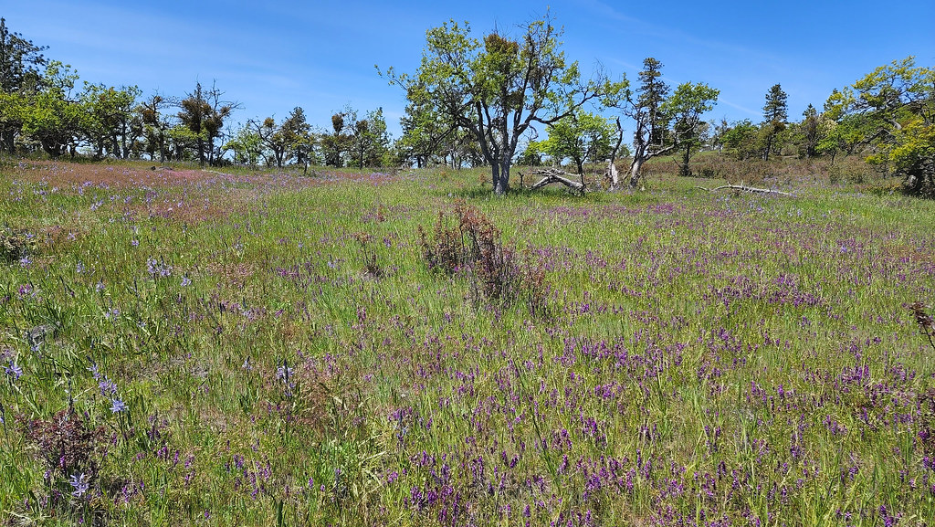 Pali TrailHikingPhoto: sloalan, Public Domain Dedication (CC0) (via Flickr)3.8 mi
 Equestrian LoopHikingPhoto: sloalan, Public Domain Dedication (CC0) (via Flickr)3.8 mi
- CCC TrailHikingPhoto: sloalan, Public Domain Dedication (CC0) (via Flickr)3.9 mi
- Ponderosa TrailHikingPhoto: sloalan, Public Domain Dedication (CC0) (via Flickr)3.9 mi
- Manzanita TrailHikingPhoto: sloalan, Public Domain Dedication (CC0) (via Flickr)4 mi
 Little Butte CreekCanoeingPhoto: An employee of the USDA Forest Service, Public domain (via Wikimedia Commons)7.8 mi
 Bear CreekCanoeingPhoto: ZabMilenko at English Wikipedia, Public domain (via Wikimedia Commons)9 mi
Source: Roamze catalog (indexable pages within 10 miles, PostGIS distance)
- Little Butte CreekCanoeing · ~13 min drivePhoto: An employee of the USDA Forest Service, Public domain (via Wikimedia Commons)
- Dodge Bridge BoatrampBoat launch · ~21 min drive
- Fourmile Lake CampgroundFloat trip · ~42 min drive
- Jackson Campground On The Applegate RiverStand up paddleboarding · ~45 min drive
- Bear CreekCanoeing · ~15 min drivePhoto: ZabMilenko at English Wikipedia, Public domain (via Wikimedia Commons)
- Takelma Boat RampBoat launch · ~26 min drive
 Elk CreekCanoeing · ~51 min drivePhoto: Little Mountain 5, CC BY-SA 3.0 (via Wikimedia Commons)
- Shady Cove Boat RampBoat launch · ~29 min drive
- Walker CreekCanoeing · ~20 min drive
- Gold Hill Sports Park Boat RampBoat launch · ~30 min drive
Also worth it near here
Best time to visit Antelope Creek
Best months: May–October. Best months have typical highs of 55–85 °F, lows of 30 °F or warmer (32 °F where the station doesn't record snow), at most one snowy day and no more than 12 wet days.
Jan
36° / 23°
15 wet · 9 snow
Feb
40° / 23°
14 wet · 8 snow
Mar
45° / 26°
16 wet · 8 snow
Apr
50° / 29°
13 wet · 4 snow
May
60° / 36°
11 wet · 1 snow
Jun
68° / 40°
5 wet
Jul
79° / 47°
3 wet
Aug
79° / 46°
2 wet
Sep
72° / 40°
4 wet
Oct
58° / 33°
8 wet · 1 snow
Nov
42° / 28°
13 wet · 5 snow
Dec
35° / 23°
15 wet · 9 snow
Typical high / low (°F) and days with rain or snow, 1991–2020. Measured at Howard Prairie Dam, OR, 19.9 mi away at 4,567 ft. Source: NOAA NCEI U.S. Climate Normals 1991–2020.

