Bessie Butte
- 4,771 ft
- summit
- 1
- way up
- May–Sep
- best months
Is Bessie Butte open right now?
Closure in the area
There's a closure order in Deschutes National Forest. It doesn't name Bessie Butte, so check the source for the area it covers (3 listed).
West Bend Area Trail Closures
Agency closure covering Deschutes National Forest · USFS · Deschutes National Forest
West Bend IRSC- Area, Road and Trail Closure
Agency closure covering Bend/Fort Rock Ranger District · Order 06-01-01-26-03 · USFS · Bend/Fort Rock Ranger District
Cabin Butte Area Closure
Agency closure covering Bend/Fort Rock Ranger District · Order 06-01-01-26-01 · USFS · Bend/Fort Rock Ranger District
Camping & Campfire Restrictions Forest Order
Agency alert covering Deschutes National Forest · Order 06-01-26-01 · USFS · Deschutes National Forest
Cave Resource Protection Forest Order
Agency alert covering Deschutes National Forest · Order 06-01-26-02 · USFS · Deschutes National Forest
As of · Source: USFS · Deschutes National Forest. Agencies don't list every closure — check before you go.
Bessie Butte is a summit of 4,771 feet in the Bend/Fort Rock Ranger District of Oregon's Deschutes National Forest, about 5 miles from the community of Deschutes River Woods. The Bessie Butte Trail starts just 0.1 mile away, making it the natural way to approach the peak. The surrounding area offers more hiking and climbing within a short drive. Summer is the most comfortable time to go. Typical averages from the nearby Sunriver weather station, which sits about 600 feet lower, show July highs around 84°F with lows near 41°F, while winter highs stay in the 30s and 40s. Nearby trails include Swamp Wells Trail Number 61, Coyote Loop and Arnold Ice Cave Trail Number 63. Climbers can find the Central Oregon climbing area about 5 miles away.
Conditions and forecast
Daily highs and lows, wind and the chance of precipitation at the summit and route start for the next 7 days, from the Open-Meteo model.
- Summit elevation
- 4,771 ft
Elevation from USGS 3D Elevation Program terrain data (about 10 m resolution).
Map © Mapbox © OpenStreetMap contributors Questions about Bessie Butte
How tall is Bessie Butte?
4,771 ft (1,454 m).
How many routes go to the summit of Bessie Butte?
One: Bessie Butte Trail.
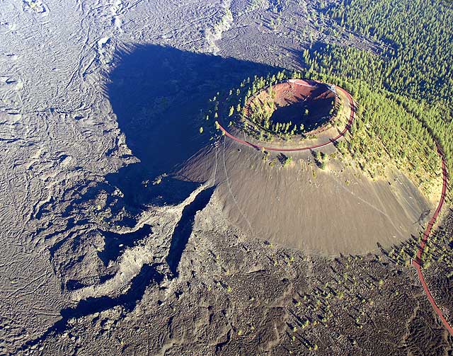 Lava Butte5,024 ft · Oregon1 route4.8 mi awayPhoto: Q Myers, en:User:QDM, Public domain (via Wikimedia Commons)
- Fuzztail Butte5,739 ft · Oregon1 route6.5 mi away
 Pilot Butte4,142 ft · Oregon1 route7.7 mi awayPhoto: Cacophony, CC BY-SA 3.0 (via Wikimedia Commons)
- Paulina Peak7,982 ft · Oregon1 route18 mi away
- The Dome7,184 ft · Oregon1 route18 mi away
 Mount Bachelor9,070 ft · Oregon3 routes21 mi awayPhoto: DimiTalen, CC BY-SA 3.0 (via Wikimedia Commons)
- Bessie Butte TrailHiking0.1 mi
- Swamp Wells Trail Number 61Hiking0.7 mi
- Coyote LoopHiking2.2 mi
- Arnold Ice Cave Trail Number 63Hiking2.6 mi
- Central OregonRock climbing5 mi
- Stevens CaveRock climbing6.1 mi
- Meadow Camp, AKA Meadow Picnic AreaRock climbing6.4 mi
- Meadow CampRock climbing6.5 mi
Source: Roamze catalog (indexable pages within 10 miles, PostGIS distance)
- Pilot ButteSummit · ~13 min drivePhoto: Cacophony, CC BY-SA 3.0 (via Wikimedia Commons)
- Mount BachelorSummit · ~36 min drivePhoto: DimiTalen, CC BY-SA 3.0 (via Wikimedia Commons)
 Cline ButtesSummit · ~36 min drivePhoto: Orygun, CC BY-SA 4.0 (via Wikimedia Commons)
 Ball ButteSummit · ~37 min drivePhoto: U.S. Forest Service- Pacific Northwest Region, Public domain (via Wikimedia Commons)
 Broken TopSummit · ~40 min drivePhoto: Public domain (via Wikimedia Commons)
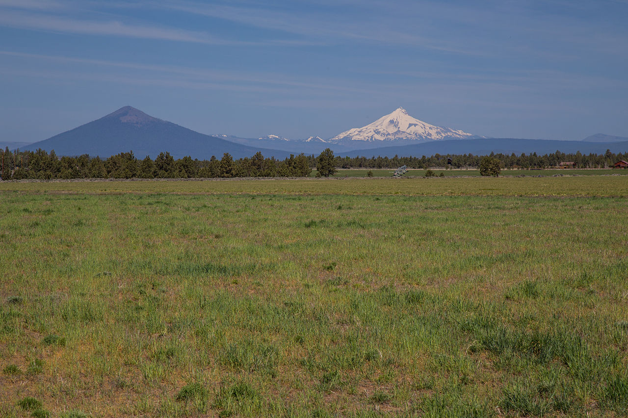 Black ButteSummit · ~1h 2m drivePhoto: Johnny.m76, CC BY 3.0 (via Wikimedia Commons)
 Mount WashingtonSummit · ~1h 6m drivePhoto: Lyn Topinka, USGS, Public domain (via Wikimedia Commons)
 Fort RockSummit · ~1h 10m drivePhoto: Q Myers (talk · contribs), Public domain (via Wikimedia Commons)
 Maiden PeakSummit · ~1h 11m drivePhoto: Jsayre64, CC BY-SA 3.0 (via Wikimedia Commons)
 Trail ButteSummit · ~1h 13m drivePhoto: Dsdugan, Public domain (via Wikimedia Commons)
Best time to visit Bessie Butte
Best months: May–September. Best months have typical highs of 55–85 °F, lows of 30 °F or warmer (32 °F where the station doesn't record snow), at most one snowy day and no more than 12 wet days.
Jan
40° / 20°
Feb
43° / 21°
Mar
50° / 24°
Apr
57° / 25°
May
65° / 33°
Jun
72° / 37°
Jul
84° / 41°
Aug
83° / 40°
Sep
76° / 34°
Oct
62° / 28°
Nov
46° / 24°
Dec
37° / 19°
Typical high / low (°F) and days with rain or snow, 1991–2020. Measured at Sunriver, OR, 8.1 mi away at 4,180 ft. The station sits about 600 ft lower than this place, so expect it a little cooler here. This station doesn't record snowfall. Source: NOAA NCEI U.S. Climate Normals 1991–2020.

