Eagle Cap
 Photo: araddon, CC BY 2.0 (via Wikimedia Commons)
- 9,564 ft
- summit
- 1
- way up
Is Eagle Cap open right now?
Closure in the area
There's a closure order in Wallowa-Whitman National Forest. It doesn't name Eagle Cap, so check the source for the area it covers.
Anthony Fire Area Closure
Agency closure covering Wallowa-Whitman National Forest · USFS · Wallowa-Whitman National Forest
PHASE B FIRE RESTRICTIONS WALLOW-WHITMAN NATIONAL FOREST
Agency alert covering Wallowa-Whitman National Forest · Order 06-16-00-25-01 · USFS · Wallowa-Whitman National Forest
PHASE A FIRE RESTRICTIONS Wallowa-Whitman NATIONAL FOREST
Agency alert covering Wallowa-Whitman National Forest · Order 06-16-00-25-00 · USFS · Wallowa-Whitman National Forest
As of · Source: USFS · Wallowa-Whitman National Forest. Agencies don't list every closure — check before you go.
Eagle Cap is a summit in northeastern Oregon, set within the Eagle Cap Wilderness of the Eagle Cap Ranger District, part of the Wallowa-Whitman National Forest. The nearest town is Wallowa Lake, about 10 miles away. The Eagle Cap Summit Trail starts less than a mile from the peak, and the Glacier Lake Trail is about 1.2 miles off. The Lakes Basin climbing area lies roughly 2 miles away, and the West Fork Wallowa River offers canoeing about 4 miles out.
Conditions and forecast
Daily highs and lows, wind and the chance of precipitation at the summit and route start for the next 7 days, from the Open-Meteo model.
- Summit elevation
- 9,564 ft
Elevation from USGS 3D Elevation Program terrain data (about 10 m resolution).
Map © Mapbox © OpenStreetMap contributors Questions about Eagle Cap
How tall is Eagle Cap?
9,564 ft (2,915 m).
How many routes go to the summit of Eagle Cap?
One: Eagle Cap Summit Trail.
- Sentinel Peak9,404 ft · Oregon1 route3.7 mi away
- Matterhorn9,823 ft · Oregon2 routes4.5 mi away
 Sacajawea Peak9,836 ft · Oregon1 route5.7 mi awayPhoto: Gary Halvorson, Oregon State Archives, CC BY 4.0 (via Wikimedia Commons)
- Aneroid Mountain9,698 ft · Oregon1 route6.8 mi away
- East Peak9,371 ft · Oregon2 routes7.9 mi away
- Chief Joseph Mountain9,624 ft · Oregon1 route8.6 mi away
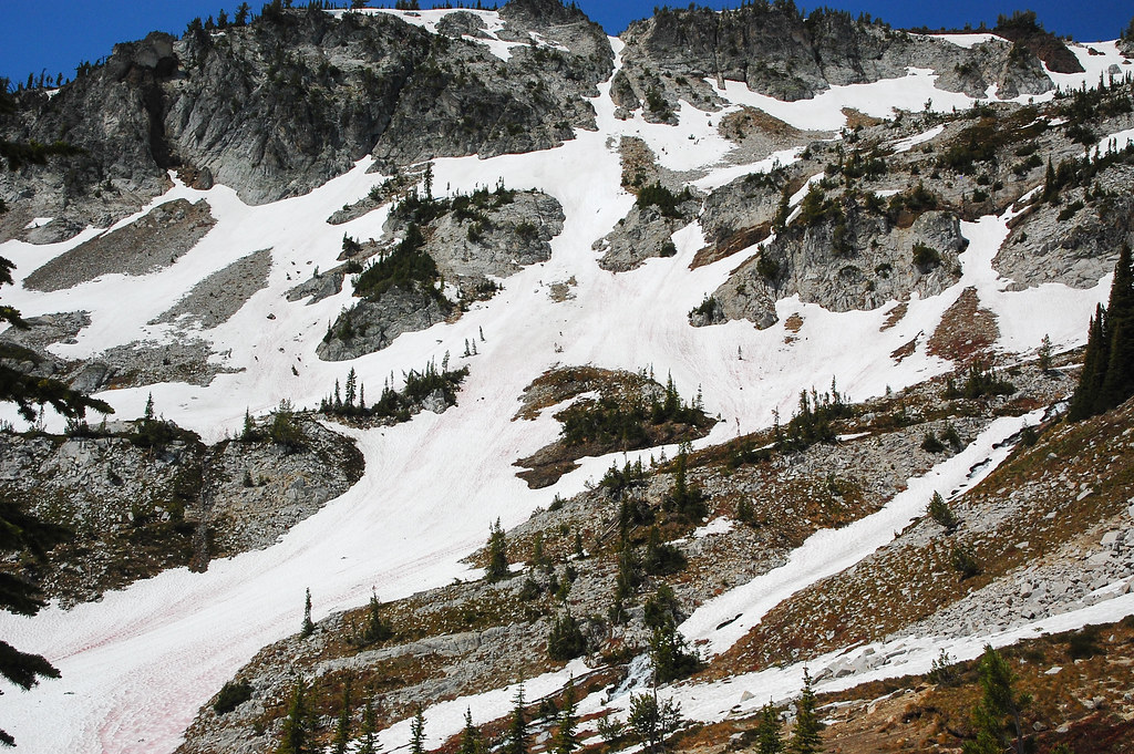 Eagle Cap Summit TrailHikingPhoto: ilya_ktsn, CC BY 2.0 (via Flickr)0.8 mi
 Glacier Lake TrailHikingPhoto: Flyover Hangover, CC BY-SA 2.0 (via Flickr)1.2 mi
- Lakes BasinRock climbing2.2 mi
- West Fork Wallowa RiverCanoeing4 mi
 Minam RiverCanoeingPhoto: Williamborg, CC BY-SA 3.0 (via Wikimedia Commons)5.5 mi
- Wallowa MountainsRock climbing6.9 mi
- Shady CampgroundCamping7.6 mi
- Arrow Forest CampCamping8.2 mi
Source: Roamze catalog (indexable pages within 10 miles, PostGIS distance)
- Sacajawea PeakSummit · ~10 min drivePhoto: Gary Halvorson, Oregon State Archives, CC BY 4.0 (via Wikimedia Commons)
 Mount HowardSummit · ~15 min drivePhoto: Orygun, CC BY-SA 4.0 (via Wikimedia Commons)
 Rock Creek ButteSummit · ~1h 19m drivePhoto: David Dugan, CC BY-SA 3.0 (via Wikimedia Commons)
- Sentinel PeakSummit · ~6 min drive
- Aneroid MountainSummit · ~12 min drive
- East PeakSummit · ~14 min drive
- Chief Joseph MountainSummit · ~15 min drive
- Twin PeaksSummit · ~17 min drive
- Granite ButteSummit · ~17 min drive
- Mule PeakSummit · ~17 min drive
