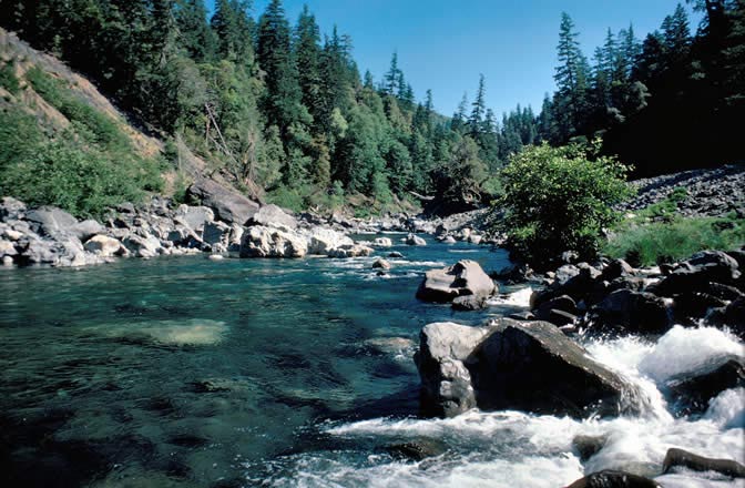
Biscuit Hill
- 3,273 ft
- summit
Is Biscuit Hill open right now?
Closure in the area
There's a closure order in Wild Rivers Ranger District. It doesn't name Biscuit Hill, so check the source for the area it covers.
Illinois Falls Trail Bridge Closure
Agency closure covering Wild Rivers Ranger District · Order 06-10-22-25-02 · USFS · Wild Rivers Ranger District
Illinois River Road Seasonal Restrictions
Agency alert covering Wild Rivers Ranger District · Order 06-10-22-26-01 · USFS · Wild Rivers Ranger District
As of · Source: USFS · Wild Rivers Ranger District. Agencies don't list every closure — check before you go.
Biscuit Hill is a summit in the Wild Rivers Ranger District of the Rogue River-Siskiyou National Forests in Oregon. The nearest town is O'Brien, about 9 miles away, making it a reasonable base for trips into this part of the forest. Baldface Creek, a canoeing route, lies about a mile from the summit. The Kalmiopsis Rim and North Fork Smith River hikes are each about 2.8 miles away. For an overnight stay, North Fork Campground sits about 6.6 miles off across the line in California.
Conditions and forecast
Daily highs and lows, wind and the chance of precipitation at the summit for the next 7 days, from the Open-Meteo model.
- Summit elevation
- 3,273 ft
Elevation from USGS 3D Elevation Program terrain data (about 10 m resolution).
We don't know of a mapped trail or route to the summit of Biscuit Hill. Plan the approach with local maps, a guidebook or a local guide, and check conditions before you go.
Questions about Biscuit Hill
How tall is Biscuit Hill?
3,273 ft (998 m).
Is there a trail to the top of Biscuit Hill?
We don't know of a mapped trail or route to the summit. Plan the approach with local maps, a guidebook or a local guide.
- Canyon Peak4,901 ft · Oregon1 route10 mi away
- Vulcan Peak4,648 ft · Oregon1 route10 mi away
- Cold Spring Mountain3,729 ft · California1 route11 mi away
- Sanger Peak5,863 ft · California1 route15 mi away
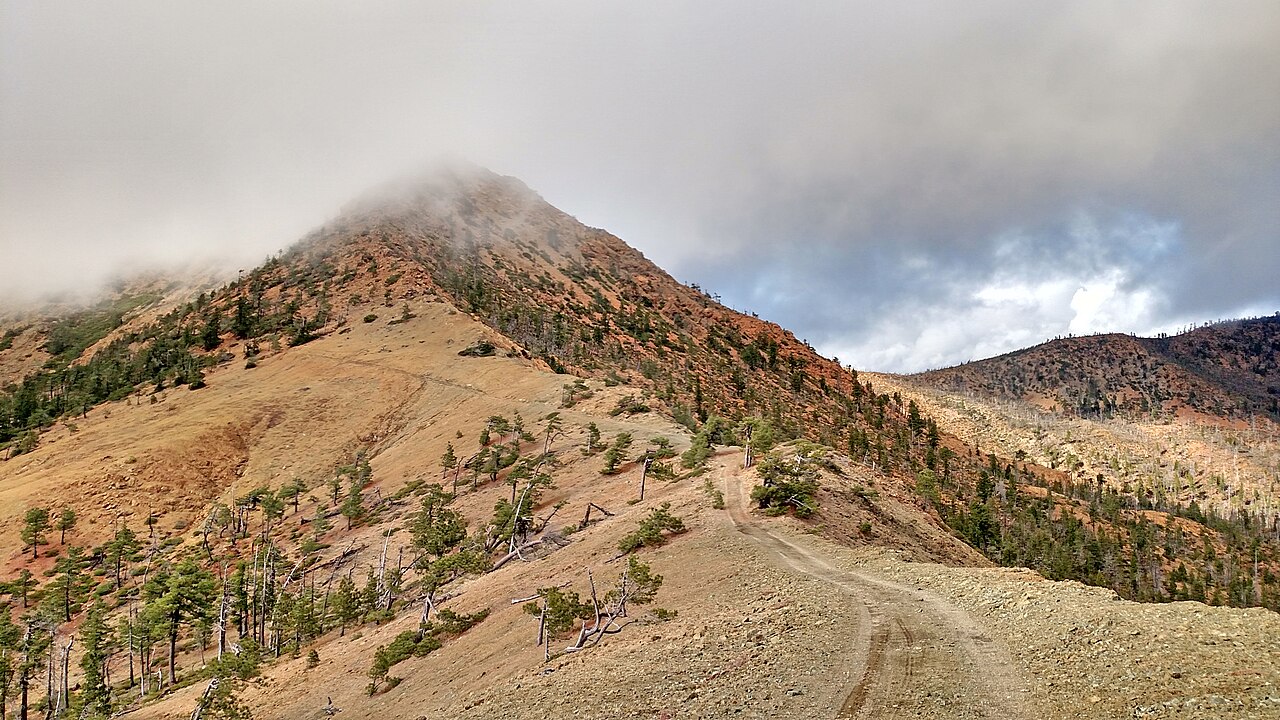 Pearsoll Peak5,095 ft · Oregon1 route17 mi awayPhoto: Forest Service, Public domain (via Wikimedia Commons)
- Mislatnah Peak3,127 ft · Oregon1 route19 mi away
- Baldface CreekCanoeing1 mi
- Kalmiopsis RimHiking2.8 mi
 North Fork Smith RiverHikingPhoto: Northwest Rafting Company, CC BY 2.0 (via Flickr)2.8 mi
- Franz MeadowsHiking3.2 mi
- Chrome CreekCanoeing3.5 mi
 Buckskin PeakHikingPhoto: Northwest Rafting Company, CC BY 2.0 (via Flickr)4.6 mi
- Diamond CreekCanoeing5.7 mi
- North Fork CampgroundCamping6.6 mi
Source: Roamze catalog (indexable pages within 10 miles, PostGIS distance)
 Mount EmilySummit · ~24 min drivePhoto: Visitor7, CC BY-SA 3.0 (via Wikimedia Commons)
- Pearsoll PeakSummit · ~29 min drivePhoto: Forest Service, Public domain (via Wikimedia Commons)
 Preston PeakSummit · ~35 min drivePhoto: U.S. Forest Service- Pacific Northwest Region, Public domain (via Wikimedia Commons)
 Bear MountainSummit · ~36 min drivePhoto: Miguel Vieira from Walnut Creek, CA, USA, CC BY 2.0 (via Wikimedia Commons)
- Canyon PeakSummit · ~17 min drive
- Vulcan PeakSummit · ~17 min drive
- Cold Spring MountainSummit · ~19 min drive
- Sanger PeakSummit · ~26 min drive
- Mislatnah PeakSummit · ~33 min drive
- York ButteSummit · ~41 min drive
Also worth it near here