Mount Baldy
 Photo: M.O. Stevens, Public domain (via Wikimedia Commons)
- 414 ft
- summit
- 1
- way up
- Mar–Oct
- best months
Mount Baldy is a summit of 414 feet in Oregon, set within Baskett Slough National Wildlife Refuge about 2.5 miles from the town of Rickreall. It sits low enough to fit easily into a day of exploring the refuge's trails, with several routes starting within a mile of the peak. Late spring and early fall are the most comfortable times to visit. Typical averages from a nearby weather station show May highs around 68°F and September highs around 78°F, while July and August climb into the low 80s. The Rich Guadagno Memorial Trail passes just 0.2 miles away, and the Moffitti Marsh Trail is about half a mile off. The Cackler Marsh Trail and Morgan Lake Trail are both within about a mile and a half. For paddlers, Baskett Slough is roughly 2.8 miles away.
Conditions and forecast
Daily highs and lows, wind and the chance of precipitation at the summit and route start for the next 7 days, from the Open-Meteo model.
- Summit elevation
- 414 ft
Elevation from USGS 3D Elevation Program terrain data (about 10 m resolution).
Map © Mapbox © OpenStreetMap contributors Questions about Mount Baldy
How tall is Mount Baldy?
414 ft (126 m).
How many routes go to the summit of Mount Baldy?
One: Rich Guadagno Memorial Trail.
- Hospital Hill464 ft · Oregon1 route20 mi away
- Price Peak1,938 ft · Oregon1 route22 mi away
- Vineyard Mountain1,481 ft · Oregon1 route22 mi away
- Dimple Hill1,499 ft · Oregon1 route24 mi away
- Bald Hill758 ft · Oregon2 routes28 mi away
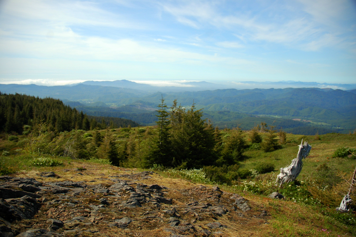 Mount Hebo3,181 ft · Oregon1 route29 mi awayPhoto: Ennetws, Public domain (via Wikimedia Commons)
- Rich Guadagno Memorial TrailHiking0.2 mi
- Moffitti Marsh TrailHiking0.5 mi
- Cackler Marsh TrailHiking1 mi
- Morgan Lake TrailHiking1.4 mi
- Baskett SloughCanoeing2.8 mi
 Rickreall CreekCanoeingPhoto: Valfontis, Public domain (via Wikimedia Commons)5.5 mi
- Salt CreekCanoeing7.3 mi
- Ash SwaleCanoeing7.3 mi
Source: Roamze catalog (indexable pages within 10 miles, PostGIS distance)
 Coffin ButteSummit · ~31 min drivePhoto: Bigcran, CC BY-SA 4.0 (via Wikimedia Commons)
- Mount HeboSummit · ~49 min drivePhoto: Ennetws, Public domain (via Wikimedia Commons)
 Bald PeakSummit · ~54 min drivePhoto: M.O. Stevens, CC BY-SA 3.0 (via Wikimedia Commons)
 Cooper MountainSummit · ~1h 7m drivePhoto: M.O. Stevens, CC BY-SA 3.0 (via Wikimedia Commons)
 South Saddle MountainSummit · ~1h 10m drivePhoto: M.O. Stevens, CC BY-SA 3.0 (via Wikimedia Commons)
 Mount SylvaniaSummit · ~1h 12m drivePhoto: M.O. Stevens, Public domain (via Wikimedia Commons)
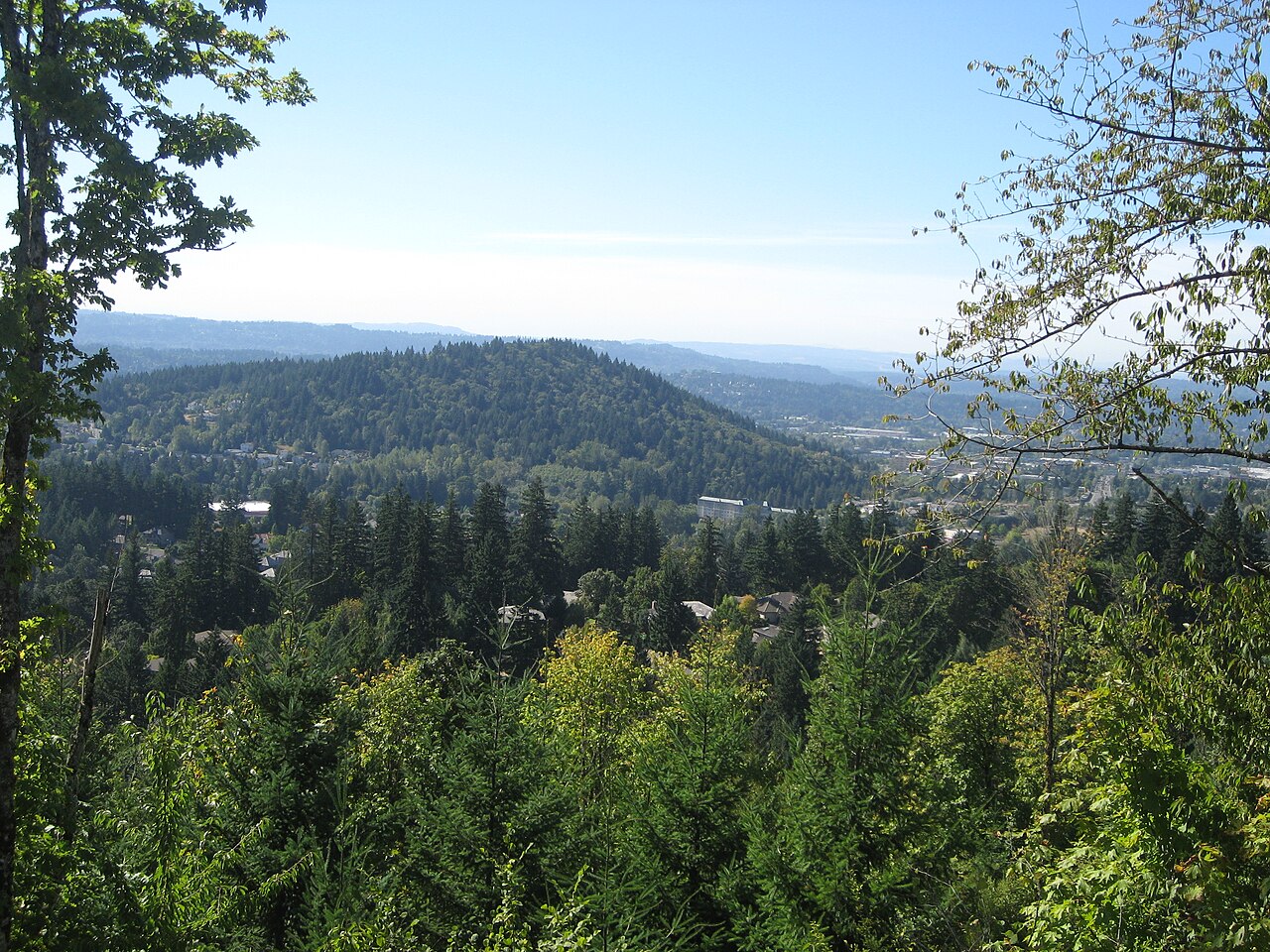 Mount TalbertSummit · ~1h 21m drivePhoto: Esprqii, CC BY-SA 3.0 (via Wikimedia Commons)
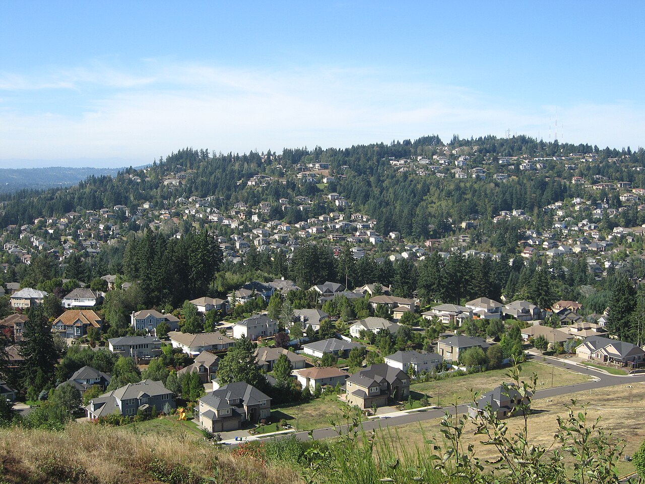 Mount ScottSummit · ~1h 23m drivePhoto: Esprqii, CC BY-SA 3.0 (via Wikimedia Commons)
 Round TopSummit · ~1h 25m drivePhoto: Terrickisaiah555, CC BY-SA 3.0 (via Wikimedia Commons)
- Hospital HillSummit · ~35 min drive
Best time to visit Mount Baldy
Best months: March–October. Best months have typical highs of 55–85 °F, lows of 30 °F or warmer (32 °F where the station doesn't record snow), at most one snowy day and no more than 12 wet days.
Jan
47° / 35°
Feb
51° / 36°
Mar
56° / 38°
Apr
61° / 40°
May
68° / 45°
Jun
73° / 49°
Jul
82° / 52°
Aug
83° / 52°
Sep
78° / 49°
Oct
65° / 44°
Nov
52° / 38°
Dec
46° / 35°
Typical high / low (°F) and days with rain or snow, 1991–2020. Measured at Dallas 2 Ne, OR, 1.8 mi away at 290 ft. This station doesn't record snowfall. Source: NOAA NCEI U.S. Climate Normals 1991–2020.
