Bald Mountain
- 806 ft
- summit
- 2
- ways up
- Jun–Sep
- best months
Bald Mountain is a summit in Oregon, rising to 806 feet about 4 miles from the town of Cannon Beach. It sits close to the coast, and the Indian Beach Trail starts less than a mile away, making it an easy addition to a walk along the beach. Summer is the most comfortable time to visit. Typical averages from a nearby weather station in Seaside show July and August highs around 65 to 66°F with only about seven wet days a month, while winter brings highs in the low 50s and rain on more than 20 days a month. That station sits about 800 feet lower than the summit, so temperatures on the mountain run cooler. Several trails lie within a few miles, including the Crescent Beach Trail and the Lewis and Clark Discovery Trail - Oregon Coast Trail. Climbers can head to the Cannon Beach climbing area, about 6 miles away, and paddlers will find West Fork Ecola Creek roughly 7 miles off.
Conditions and forecast
Daily highs and lows, wind and the chance of precipitation at the summit and route start for the next 7 days, from the Open-Meteo model.
- Summit elevation
- 806 ft
Elevation from USGS 3D Elevation Program terrain data (about 10 m resolution).
- Clatsop Loop TrailModerateabout 1,112 ft of climbing2.2 mi round trip
- Clatsop Loop Trail - Oregon Coast TrailModerateabout 1,362 ft of climbing2.5 mi round trip
Compare the routes Clatsop Loop Trail Clatsop Loop Trail - Oregon Coast Trail Climbing About 1,112 ft About 1,362 ft Round trip 2.2 mi 2.5 mi Difficulty Moderate Moderate Terrain Hike Hike Map © Mapbox © OpenStreetMap contributors Questions about Bald Mountain
How tall is Bald Mountain?
806 ft (246 m).
How many routes go to the summit of Bald Mountain?
2: Clatsop Loop Trail and Clatsop Loop Trail - Oregon Coast Trail.
What is the shortest route up Bald Mountain?
Clatsop Loop Trail, about 2.2 mi round trip.
- Clark's Mountain1,168 ft · Oregon1 route1.4 mi away
- Angora Peak2,673 ft · Oregon1 route11 mi away
 Saddle Mountain3,295 ft · Oregon1 route14 mi awayPhoto: Walter Siegmund (talk), CC BY-SA 3.0 (via Wikimedia Commons)
- Cedar Butte2,905 ft · Oregon1 route29 mi away
- Kings Mountain3,224 ft · Oregon1 route32 mi away
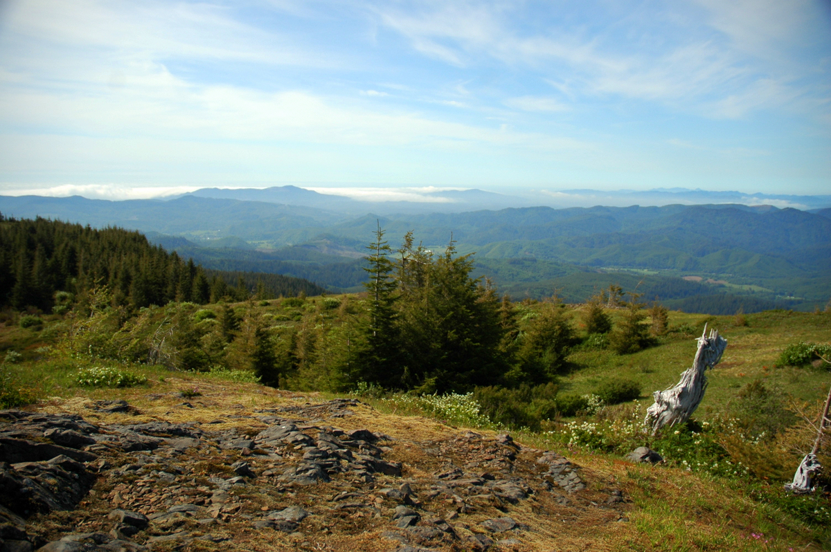 Mount Hebo3,181 ft · Oregon1 route52 mi awayPhoto: Ennetws, Public domain (via Wikimedia Commons)
 Indian Beach TrailHikingPhoto: PennyLennox, CC BY 3.0 (via Wikimedia Commons)0.9 mi
 Crescent Beach TrailHikingPhoto: eugene_o, CC BY 2.0 (via Flickr)1.7 mi
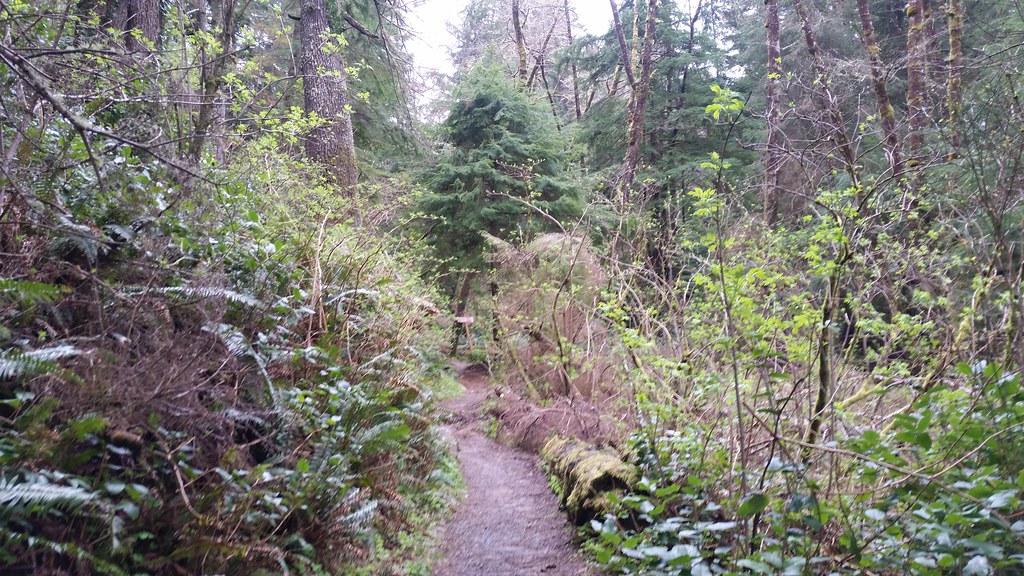 Lewis and Clark Discovery Trail - Oregon Coast TrailHikingPhoto: cifraser1, CC BY 2.0 (via Flickr)2.5 mi
- Wetland WalkHiking2.7 mi
- Cannon BeachRock climbing5.7 mi
- West Fork Ecola CreekCanoeing7.1 mi
- South Fork Necanicum RiverCanoeing8.4 mi
 Necanicum RiverCanoeingPhoto: M.O. Stevens, CC BY-SA 3.0 (via Wikimedia Commons)9.9 mi
Source: Roamze catalog (indexable pages within 10 miles, PostGIS distance)
 Neahkahnie MountainSummit · ~23 min drivePhoto: Fcb981, CC BY-SA 3.0 (via Wikimedia Commons)
- Saddle MountainSummit · ~25 min drivePhoto: Walter Siegmund (talk), CC BY-SA 3.0 (via Wikimedia Commons)
 Round TopSummit · ~1h drivePhoto: Terrickisaiah555, CC BY-SA 3.0 (via Wikimedia Commons)
 South Saddle MountainSummit · ~1h 9m drivePhoto: M.O. Stevens, CC BY-SA 3.0 (via Wikimedia Commons)
- Clark's MountainSummit · ~2 min drive
- Angora PeakSummit · ~19 min drive
- Cedar ButteSummit · ~50 min drive
- Kings MountainSummit · ~55 min drive
Best time to visit Bald Mountain
Best months: June–September. Best months have typical highs of 55–85 °F, lows of 30 °F or warmer (32 °F where the station doesn't record snow), at most one snowy day and no more than 12 wet days.
Jan
52° / 39°
21 wet
Feb
53° / 38°
18 wet
Mar
54° / 40°
20 wet
Apr
56° / 42°
17 wet
May
60° / 46°
14 wet
Jun
62° / 50°
11 wet
Jul
65° / 53°
7 wet
Aug
66° / 53°
7 wet
Sep
67° / 50°
9 wet
Oct
62° / 46°
15 wet
Nov
55° / 42°
20 wet
Dec
51° / 38°
22 wet
Typical high / low (°F) and days with rain or snow, 1991–2020. Measured at Seaside, OR, 4.2 mi away at 10 ft. The station sits about 800 ft lower than this place, so expect it a little cooler here. Source: NOAA NCEI U.S. Climate Normals 1991–2020.

