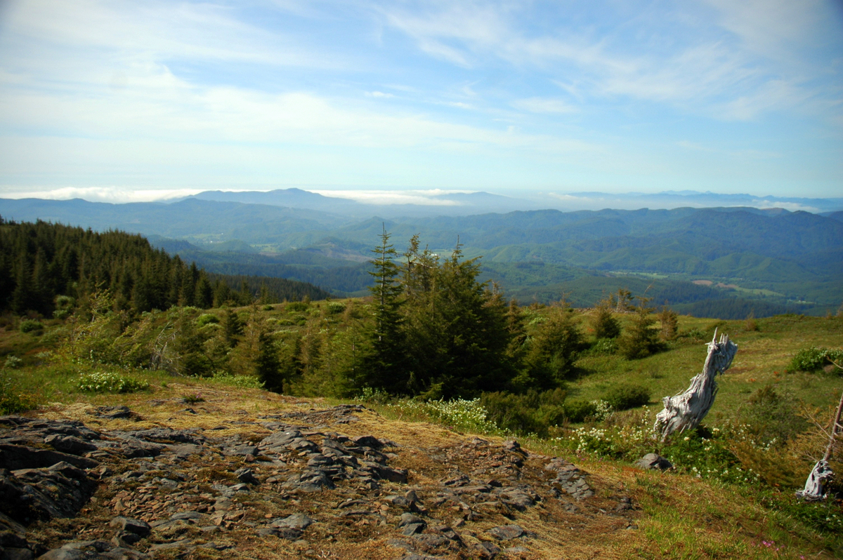
Neahkahnie Mountain
 Photo: Fcb981, CC BY-SA 3.0 (via Wikimedia Commons)
- 1,704 ft
- summit
- Apr–Oct
- best months
Neahkahnie Mountain is a summit in Tillamook County, Oregon, rising to about 1,704 feet. The small community of Neahkahnie sits about 1.2 miles away, making the peak an easy addition to a day spent in the area. Summer is the most comfortable time to visit. Typical averages from a nearby weather station show July and August highs around 68 to 69°F with lows near 50°F, while winter highs sit in the upper 40s. Several trails start close by. The South Neah-Kah-Nie Mountain Trail is about 0.4 miles away and the North Neah-Kah-Nie Mountain Trail about 0.5 miles. The Headwaters Trail is roughly a mile off for hikers, and paddlers can reach Short Sand Creek within about 1.8 miles.
Conditions and forecast
Daily highs and lows, wind and the chance of precipitation at the summit for the next 7 days, from the Open-Meteo model.
- Summit elevation
- 1,704 ft
Elevation from USGS 3D Elevation Program terrain data (about 10 m resolution).
We don't know of a mapped trail or route to the summit of Neahkahnie Mountain. Plan the approach with local maps, a guidebook or a local guide, and check conditions before you go.
Questions about Neahkahnie Mountain
How tall is Neahkahnie Mountain?
1,704 ft (519 m).
Is there a trail to the top of Neahkahnie Mountain?
We don't know of a mapped trail or route to the summit. Plan the approach with local maps, a guidebook or a local guide.
- Angora Peak2,673 ft · Oregon1 route3.2 mi away
- Bald Mountain806 ft · Oregon2 routes14 mi away
- Clark's Mountain1,168 ft · Oregon1 route15 mi away
- Cedar Butte2,905 ft · Oregon1 route18 mi away
 Saddle Mountain3,295 ft · Oregon1 route20 mi awayPhoto: Walter Siegmund (talk), CC BY-SA 3.0 (via Wikimedia Commons)
- Kings Mountain3,224 ft · Oregon1 route23 mi away
- South Neah-Kah-Nie Mountain TrailMountain biking0.4 mi
- North Neah-Kah-Nie Mountain TrailMountain biking0.5 mi
- Elk Flats TrailMountain biking1 mi
 Headwaters TrailHikingPhoto: Sam Beebe/Ecotrust, CC BY-SA 3.0 (via Wikimedia Commons)1 mi
- Short Sand CreekCanoeing1.8 mi
- Coal CreekCanoeing4.9 mi
- West Fork Ecola CreekCanoeing7 mi
- Cannon BeachRock climbing7.9 mi
Source: Roamze catalog (indexable pages within 10 miles, PostGIS distance)
- Saddle MountainSummit · ~34 min drivePhoto: Walter Siegmund (talk), CC BY-SA 3.0 (via Wikimedia Commons)
 Round TopSummit · ~50 min drivePhoto: Terrickisaiah555, CC BY-SA 3.0 (via Wikimedia Commons)
 South Saddle MountainSummit · ~53 min drivePhoto: M.O. Stevens, CC BY-SA 3.0 (via Wikimedia Commons)
 Mount HeboSummit · ~1h 5m drivePhoto: Ennetws, Public domain (via Wikimedia Commons)
 Bald PeakSummit · ~1h 25m drivePhoto: M.O. Stevens, CC BY-SA 3.0 (via Wikimedia Commons)
- Angora PeakSummit · ~5 min drive
- Bald MountainSummit · ~23 min drive
- Clark's MountainSummit · ~25 min drive
- Cedar ButteSummit · ~31 min drive
- Kings MountainSummit · ~40 min drive
Best time to visit Neahkahnie Mountain
Best months: April–October. Best months have typical highs of 55–85 °F, lows of 30 °F or warmer (32 °F where the station doesn't record snow), at most one snowy day and no more than 12 wet days.
Jan
48° / 38°
Feb
51° / 37°
Mar
53° / 38°
Apr
55° / 40°
May
59° / 44°
Jun
64° / 47°
Jul
68° / 50°
Aug
69° / 50°
Sep
67° / 48°
Oct
60° / 43°
Nov
52° / 40°
Dec
47° / 38°
Typical high / low (°F) and days with rain or snow, 1991–2020. Measured at Tillamook 6se, OR, 23.8 mi away at 140 ft. The station sits about 1,600 ft lower than this place, so expect it a little cooler here. This station doesn't record snowfall. Source: NOAA NCEI U.S. Climate Normals 1991–2020.
