Clatsop Loop Trail - Oregon Coast Trail
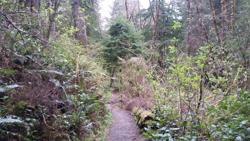
 Photo: mjfmjfmjf, CC BY 2.0 (via Flickr)
- 1.3 mi
- round trip
- 1,362 ft
- climb
- 844 ft
- high point
- Out and back
- route
- Jun–Sep
- best months
The Clatsop Out-and-back Trail is a 2.54-mile out-and-back route on the Oregon Coast Trail with 1,362 feet of elevation gain and loss. The trail reaches a maximum elevation of 844 feet.
Local outfitters
- Snow Peak Campfield Long Beach28 mi away
- Ocean Park Camp & Retreat Center39 mi away
Not on Roamze yet. Their page has how to reach them.
Conditions and forecast on Bald Mountain
Daily highs and lows, wind and the chance of precipitation at the summit and route start for the next 7 days, from the Open-Meteo model.
 Clatsop Loop TrailHiking · ~1 min drivePhoto: PennyLennox, CC BY 3.0 (via Wikimedia Commons)
 Lewis and Clark Discovery Trail - Oregon Coast TrailHiking · ~4 min drivePhoto: cifraser1, CC BY 2.0 (via Flickr)
 Ridge PathHiking · ~11 min drivePhoto: Sam Beebe, CC BY 2.0 (via Flickr)
 Arch Cape to Cape Falcon TrailHiking · ~18 min drivePhoto: mjfmjfmjf, CC BY 2.0 (via Flickr)
- Indian Beach TrailHiking · ~2 min drivePhoto: PennyLennox, CC BY 3.0 (via Wikimedia Commons)
- Diamond Mill RidgeHiking · ~48 min drive
 Ridge PathHiking · ~12 min drivePhoto: stevelyon, CC BY-SA 2.0 (via Flickr)
 Salmonberry TrailHiking · ~44 min drivePhoto: gary_leavens, CC BY-SA 2.0 (via Flickr)
 Crescent Beach TrailHiking · ~3 min drivePhoto: eugene_o, CC BY 2.0 (via Flickr)
 Cape Falcon TrailHiking · ~22 min drivePhoto: Bobjgalindo, CC BY-SA 4.0 (via Wikimedia Commons)
Best time to visit Clatsop Loop Trail - Oregon Coast Trail
Best months: June–September. Best months have typical highs of 55–85 °F, lows of 30 °F or warmer (32 °F where the station doesn't record snow), at most one snowy day and no more than 12 wet days.
Jan
52° / 39°
21 wet
Feb
53° / 38°
18 wet
Mar
54° / 40°
20 wet
Apr
56° / 42°
17 wet
May
60° / 46°
14 wet
Jun
62° / 50°
11 wet
Jul
65° / 53°
7 wet
Aug
66° / 53°
7 wet
Sep
67° / 50°
9 wet
Oct
62° / 46°
15 wet
Nov
55° / 42°
20 wet
Dec
51° / 38°
22 wet
Typical high / low (°F) and days with rain or snow, 1991–2020. Measured at Seaside, OR, 4.2 mi away at 10 ft. The station sits about 800 ft lower than this place, so expect it a little cooler here. Source: NOAA NCEI U.S. Climate Normals 1991–2020.
Route details
- Distance
- 1.3 mi round trip
- Climbing
- About 1,362 ft
- Summit
- 806 ft
- Difficulty
- Moderate
- Time
- About 0.5 hours
Other routes up Bald Mountain
Questions about this route
How long is the Clatsop Loop Trail - Oregon Coast Trail on Bald Mountain?
About 1.3 mi round trip.
How much elevation gain is on the Clatsop Loop Trail - Oregon Coast Trail?
About 1,362 ft of climbing round trip.
How hard is the Clatsop Loop Trail - Oregon Coast Trail?
It is rated moderate.
How long does the Clatsop Loop Trail - Oregon Coast Trail take?
About 0.5 hours round trip.
How many routes go up Bald Mountain?
2: Clatsop Loop Trail and Clatsop Loop Trail - Oregon Coast Trail.
Map and trail data © OpenStreetMap contributors
