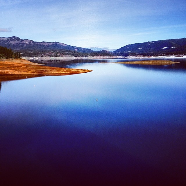
Valhalla
- 11 routes
- 5.7 – 5.11c
- Sport
- May–Oct
- best months
Is Valhalla open right now?
Alert in the area
The Forest Service lists 5 alerts for Umpqua National Forest.
Fall Prescribed Burning
Agency alert covering Umpqua National Forest · USFS · Umpqua National Forest
Poole Creek Campground Closed for the 2026 Season
Agency alert covering Umpqua National Forest · USFS · Umpqua National Forest
Buckeye Bridge and National Forest Service Road 29
Agency alert covering Tiller Ranger District · USFS · Tiller Ranger District
National Forest Service Road 28 Roadwork
Agency alert covering Umpqua National Forest · USFS · Umpqua National Forest
Blue-Green Algae Precaution for Diamond and Lemolo Lakes
Agency alert covering Umpqua National Forest · USFS · Umpqua National Forest
As of · Source: USFS · Umpqua National Forest. Agencies don't list every closure — check before you go.
Valhalla is a sport climbing area in the Tiller Ranger District of Oregon's Umpqua National Forest, managed by the Forest Service. It sits within a cluster of climbing spots, with Bone Yard and Rock City Wall each about 0.1 mile away. Summer is the most comfortable time to climb here. Typical averages from the Sexton Summit weather station, 25 miles away, put July and August highs around 77°F with only about two wet days a month, while winter months see highs in the low 40s and roughly 16 wet days. The area has 11 sport routes, with grades ranging from 5.7 to 5.11c. The Dragon Ship is the easiest at 5.7, and The Hammer of Thor is the hardest at 5.11c. Other routes include Nirvana (5.10c) and Odin (5.11b).
Best time to go · May–Oct
Best time to visit Valhalla
Best months: May–October. Best months have typical highs of 55–85 °F, lows of 30 °F or warmer (32 °F where the station doesn't record snow), at most one snowy day and no more than 12 wet days.
Jan
43° / 33°
16 wet
Feb
44° / 33°
15 wet
Mar
46° / 33°
16 wet
Apr
52° / 35°
14 wet
May
61° / 41°
10 wet
Jun
68° / 46°
6 wet
Jul
77° / 53°
2 wet
Aug
77° / 54°
2 wet
Sep
70° / 51°
4 wet
Oct
58° / 43°
9 wet
Nov
47° / 36°
15 wet
Dec
41° / 32°
16 wet
Typical high / low (°F) and days with rain or snow, 1991–2020. Measured at Sexton Summit, OR, 25.7 mi away at 3,832 ft. This station doesn't record snowfall. Source: NOAA NCEI U.S. Climate Normals 1991–2020.
Keep exploring — more climbs worth the drive
 Photo: Oregon Department of Transportation, CC BY 2.0 (via Wikimedia Commons)
Rabbit Ears (Rogue)
~50 min drive
Rabbit Ears (Rogue) in Oregon has 14 mixed climbing routes ranging from 5.9 to 5.12a.
CLIMB
(.1) Bone Yard
Next door
Bone Yard is a sport climbing crag in Oregon with 13 routes.
CLIMB
(.3) Cougar's Den
Next door
Cougar's Den in Oregon has 5 sport climbing routes on 5 distinct difficulty grades.
CLIMB
(.5) Bird Rock
Next door
Bird Rock in Oregon has 11 sport climbing routes across 9 difficulty grades.
CLIMB
(.4) Icicle Wall
Next door
Icicle Wall in Oregon has 6 sport climbing routes with 6 distinct difficulty grades.
CLIMB
(12) Leaning Block
Next door
Leaning Block in Oregon has 5 sport climbing routes across 4 difficulty grades.
CLIMB
Terra Nova
Next door
Terra Nova in Oregon features 11 sport climbing routes with 9 difficulty grades.
CLIMB
(.8) Cascade Wall
Next door
Cascade Wall is a 7-route sport climbing crag in Oregon with 6 difficulty grades.
CLIMB
(10) Log Wall
Next door
Log Wall is a sport climbing crag in Oregon with 5 routes and 5 difficulty grades.
CLIMB
(.7) Spotted Owl Wall
Next door
Spotted Owl Wall is a sport climbing crag in Oregon with 8 routes and 6 difficulty grades.