McNeil Campground
Campground
Campground · 1.0 mi from the trail
Alert in the area
The Forest Service lists 4 alerts for Zigzag Ranger District.
Tamarack Quarry closed beginning Sept. 1
Agency alert covering Zigzag Ranger District · Order 06-06-09-26-12 · USFS · Zigzag Ranger District
Eagle Creek Fire Area Closures
Agency alert covering Mt. Hood National Forest · Order 06-22-01-26-04 · USFS · Mt. Hood National Forest
FR 4613 road damage- use caution
Agency alert covering Mt. Hood National Forest · USFS · Mt. Hood National Forest
Crane Creek bridge closed on the Barlow Road
Agency alert covering Mt. Hood National Forest · USFS · Mt. Hood National Forest
As of · Source: USFS · Zigzag Ranger District. Agencies don't list every closure — check before you go.
One of 31 routes catalogued at French's Dome, this climb sits in the upper range of the crag's 5.4–5.13a span.
McNeil Campground
Campground
 If it rainsIan Poellet, CC BY-SA 3.0 · Wikimedia Commons
Places © OpenStreetMap contributors · Photos: Ian Poellet, CC BY-SA 3.0 (commons)
More in Mount Hood VillagesNot on Roamze yet. Their page has how to reach them.
Best months: June–September. Best months have typical highs of 55–85 °F, lows of 30 °F or warmer (32 °F where the station doesn't record snow), at most one snowy day and no more than 12 wet days.
Jan
37° / 26°
20 wet
Feb
38° / 26°
17 wet
Mar
41° / 28°
20 wet
Apr
45° / 31°
18 wet
May
54° / 36°
15 wet
Jun
59° / 41°
10 wet
Jul
69° / 48°
4 wet
Aug
70° / 48°
4 wet
Sep
64° / 45°
8 wet
Oct
53° / 37°
13 wet
Nov
42° / 30°
18 wet
Dec
35° / 26°
21 wet
Typical high / low (°F) and days with rain or snow, 1991–2020. Measured at Government Camp, OR, 8.8 mi away at 3,980 ft. The station sits about 1,500 ft higher than this place, so expect it a little warmer here. This station doesn't record snowfall. Source: NOAA NCEI U.S. Climate Normals 1991–2020.
 Photo: jared goss, CC BY-SA 3.0 (via Wikimedia Commons)
Mt. Hood National Forest
~15 min drive
Mt. Hood National Forest in Oregon has 13 climbing routes with 10 difficulty grades.
 Photo: Kingofthedead, CC BY-SA 4.0 (via Wikimedia Commons)
Beacon Rock Bouldering
~30 min drive
Solid bouldering in Oregon's Columbia River Gorge with scenic river views.
Photo: Kingofthedead, CC BY-SA 4.0 (via Wikimedia Commons)North Forest Boulders
~30 min drive
North Forest Boulders in Oregon has 12 bouldering routes across 7 grades.
CLIMB
The Swine (aka Enola Hill)
~9 min drive
Swine (aka Enola Hill) in Oregon has 12 climbing routes across 10 grades.
CLIMB
Hunchback Wall
~11 min drive
Hunchback Wall in Oregon has 17 climbing routes with 10 difficulty grades, offering sport and trad options.
CLIMB
Kiwanis Camp Crag
~11 min drive
Kiwanis Camp Crag in Oregon has 6 routes with sport and trad climbing.
CLIMB
Babaharimoss boulder
~12 min drive
Babaharimoss boulder is a 5-route bouldering area in Oregon with 4 difficulty grades.
CLIMB
Extra Crispy Boulders
~12 min drive
11 bouldering routes in Oregon ranging across 8 difficulty grades.
CLIMB
Rewilding Boulders
~12 min drive
12 bouldering routes at Rewilding Boulders in Oregon range across 9 difficulty grades.
CLIMB
Roadside Attraction Boulder
~12 min drive
Roadside Attraction Boulder in Oregon has 6 bouldering routes across 5 difficulty grades.
Also worth it near here
 Photo: niiicedave, CC BY-SA 2.0 (via Flickr)
Sandy River Trail #770
~2 min drive
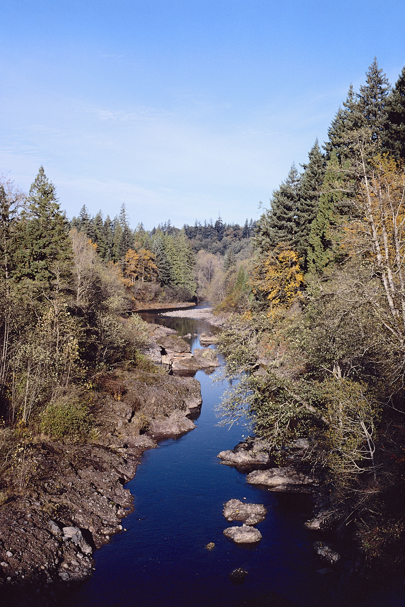 Photo: USDA Forest Service, Public domain (via Wikimedia Commons)
Sandy River
~4 min drive
 Photo: U.S. Forest Service- Pacific Northwest Region, Public domain (via Wikimedia Commons)
Zigzag Mountain
~6 min drive
 Photo: Howard Kang, CC BY-SA 2.0 (via Wikimedia Commons)
Ramona Falls
~7 min drive
