Millsite RV Park
Campground
Campground · 7.9 mi from the trail
North Myrtle Creek is a 15-mile paddling stretch near Myrtle Creek, Oregon, managed by the Bureau of Land Management within its Roseburg District South River Field Office. The creek flows year-round, with USGS models estimating an average flow of about 78 cubic feet per second and a gradient of about 95.3 feet per mile. Late spring and early fall tend to be the most comfortable times to paddle. Typical averages from a nearby weather station in Riddle show May highs around 74°F with lows near 47°F and September highs around 84°F, while July and August climb to the upper 80s and winter brings frequent rain. South Myrtle Creek, South Fork Deer Creek and Myrtle Creek are all within about 8 miles and make good additions to a trip. China Ditch Trail is about 3.6 miles away for a hike.
Millsite RV Park
Campground
Ed&Mo's Diner
American restaurant
Floed-Lane House Museum
Museum
Places © OpenStreetMap contributors, Places © Overture Maps Foundation
More in Myrtle CreekNot on Roamze yet. Their page has how to reach them.
Source: Roamze catalog (indexable pages within 10 miles, PostGIS distance)
 Cavitt CreekCanoeing · ~21 min drivePhoto: Bureau of Land Management Oregon and Washington, Public domain (via Wikimedia Commons)
 Cow CreekCanoeing · ~41 min drivePhoto: Erik Talyor, National Scenic Byways Program, United States Department of Transportation, Public domain (via Wikimedia Commons)
 Middle Fork Coquille RiverCanoeing · ~45 min drivePhoto: Finetooth, CC BY-SA 3.0 (via Wikimedia Commons)
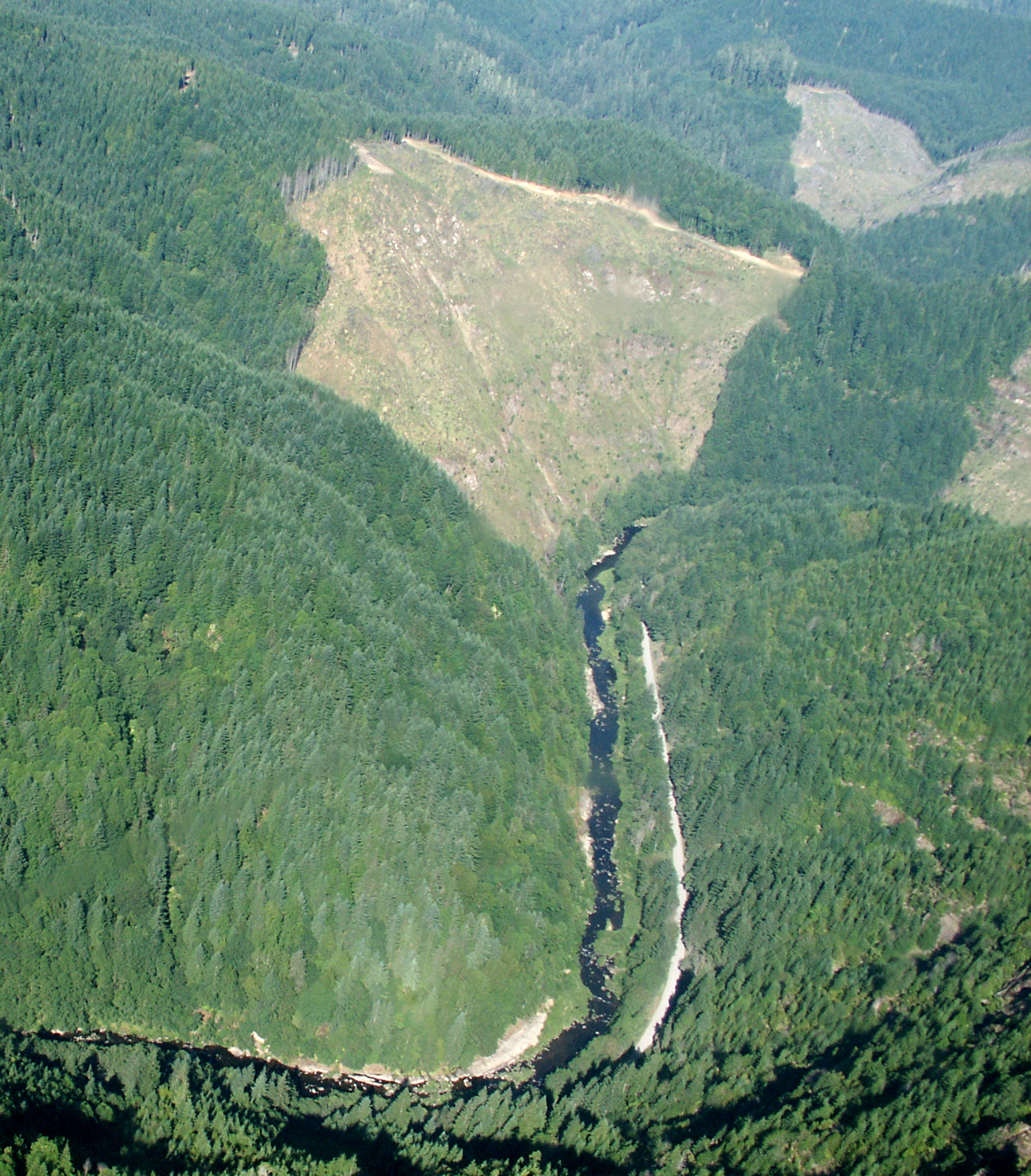 Williams RiverCanoeing · ~46 min drivePhoto: Francis Eatherington, CC BY-SA 2.0 (via Wikimedia Commons)
 South Umpqua RiverCanoeing · ~43 min drivePhoto: McD22, CC BY 2.0 (via Wikimedia Commons)
Best months: May–June and September–October. Best months have typical highs of 55–85 °F, lows of 30 °F or warmer (32 °F where the station doesn't record snow), at most one snowy day and no more than 12 wet days.
Jan
53° / 37°
19 wet
Feb
57° / 37°
17 wet
Mar
62° / 39°
18 wet
Apr
66° / 41°
15 wet
May
74° / 47°
12 wet
Jun
80° / 51°
6 wet
Jul
88° / 55°
2 wet
Aug
89° / 54°
2 wet
Sep
84° / 49°
5 wet
Oct
71° / 43°
12 wet
Nov
58° / 41°
18 wet
Dec
51° / 37°
20 wet
Typical high / low (°F) and days with rain or snow, 1991–2020. Measured at Riddle, OR, 13.7 mi away at 680 ft. The station sits about 1,400 ft lower than this place, so expect it a little cooler here. Source: NOAA NCEI U.S. Climate Normals 1991–2020.

