Young's Rock
- 1.2 mi
- round trip
- 843 ft
- climb
- 5,125 ft
- high point
- Out and back
- route
- May–Oct
- best months
Caution today
Agency alerts are in effect for this area; weather is marginal · USFS, OpenWeather · checked 10 h ago
Is Young's Rock open right now?
Closure in the area
There's a closure order in Middle Fork Ranger District. It doesn't name Young's Rock, so check the source for the area it covers (2 listed).
Cedar Creek Area Closure
Agency closure covering Middle Fork Ranger District · Order 06-18-10-26-04 · USFS · Middle Fork Ranger District
Cedar Creek Fire Closure
Agency closure covering Willamette National Forest · Order 06-18-10-26-04 · USFS · Willamette National Forest
FIRE CLOSURES: Current wildfire closures on the Willamette National Forest
Agency alert covering Willamette National Forest · USFS · Willamette National Forest
2026 Active Wildfire
Agency alert covering Middle Fork Ranger District · USFS · Middle Fork Ranger District
As of · Source: USFS · Middle Fork Ranger District. Agencies don't list every closure — check before you go.
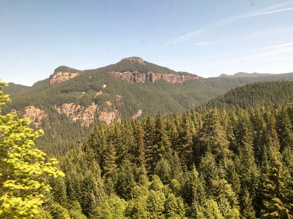
Young's Rock is a short, easy out-and-back hike in the Middle Fork Ranger District of the Willamette National Forest in Oregon, about 1.2 miles long and with a total climb of about 840 feet. The trail starts near the 4,700-foot level and rises to a high point of about 5,125 feet. The Forest Service manages the land, and the route is natural-surfaced, so it works for hikers, riders and horseback travelers. Summer is the most comfortable time to go. Typical averages from a nearby weather station at Odell Lake put July and August highs around 73 to 74°F, with only three or so wet days a month and no snow. Winter brings highs in the mid-30s and about 10 snow days a month from December through January. The hike is open year-round, and the trip takes about an hour. Young's Rock Trail #3685 lies just 0.1 mile away, and Moon Point is about 0.6 mile off. Warner Mountain Lookout, roughly 1.4 miles away, offers camping, and Adam's Boulders, a climbing area, sits about 5.3 miles out.
Local outfitters
- Casey's Riverside RV Resort16 mi away
- Shelter Cove Resort & Marina18 mi away
Not on Roamze yet. Their page has how to reach them.
- Young's Rock Trail #3685Hiking0.1 mi
- Moon PointHiking0.6 mi
- Warner Mountain LookoutCamping1.4 mi
- Youngs Flat/Everage FlatCamping3.2 mi
- Adam's BouldersRock climbing5.3 mi
- Swift CreekCanoeing7.1 mi
- Hills CreekCanoeing7.7 mi
- Hills Creek SpiresRock climbing9.5 mi
Source: Roamze catalog (indexable pages within 10 miles, PostGIS distance)
 Devil's GardenHiking · ~20 min drivePhoto: neverbutterfly, CC BY 2.0 (via Flickr)
 VIVIAN LAKEHiking · ~22 min drivePhoto: James Wellington, CC BY 2.0 (via Flickr)
- Middle Fork National Recreation TrailHiking · ~8 min drive
- Vivian Lake Trail #3662Hiking · ~18 min drive
 VerdunHiking · ~23 min drivePhoto: Bruce Fingerhood from Springfield, Oregon, US, CC BY 2.0 (via Wikimedia Commons)
 Vivian LakeHiking · ~23 min drivePhoto: Don Henise, CC BY 2.0 (via Flickr)
- Noonday Wagon TrailHiking · ~21 min drive
- Mt. YoranHiking · ~19 min drive
- High DivideHiking · ~14 min drive
- Moon PointHiking · ~1 min drive
Best time to visit Young's Rock
Best months: May–October. Best months have typical highs of 55–85 °F, lows of 30 °F or warmer (32 °F where the station doesn't record snow), at most one snowy day and no more than 12 wet days.
Jan
35° / 20°
14 wet · 10 snow
Feb
38° / 21°
13 wet · 9 snow
Mar
42° / 24°
14 wet · 8 snow
Apr
46° / 28°
11 wet · 4 snow
May
55° / 34°
9 wet · 1 snow
Jun
63° / 38°
6 wet
Jul
73° / 44°
3 wet
Aug
74° / 42°
3 wet
Sep
68° / 36°
5 wet
Oct
55° / 30°
9 wet · 1 snow
Nov
41° / 26°
14 wet · 6 snow
Dec
34° / 20°
15 wet · 10 snow
Typical high / low (°F) and days with rain or snow, 1991–2020. Measured at Odell Lake-East, OR, 21.6 mi away at 4,800 ft. Source: NOAA NCEI U.S. Climate Normals 1991–2020.

