Mt. Yoran
- 7.6 mi
- round trip
- 2,067 ft
- climb
- 6,791 ft
- high point
- Out and back
- route
Is Mt. Yoran open right now?
Closure in the area
There's a closure order in Willamette National Forest. It doesn't name Mt. Yoran, so check the source for the area it covers.
Cedar Creek Fire Closure
Agency closure covering Willamette National Forest · Order 06-18-10-26-04 · USFS · Willamette National Forest
FIRE CLOSURES: Current wildfire closures on the Willamette National Forest
Agency alert covering Willamette National Forest · USFS · Willamette National Forest
2026 Active Wildfire
Agency alert covering Middle Fork Ranger District · USFS · Middle Fork Ranger District
As of · Source: USFS · Willamette National Forest. Agencies don't list every closure — check before you go.
Mt. Yoran is a hard hike in Oregon's Diamond Peak Wilderness, part of the Middle Fork Ranger District of the Willamette National Forest. The route is an out-and-back of about 7.6 miles, with a total elevation gain of 2,067 feet, and it reaches a high point of 6,791 feet. The climb is front-loaded, with the steepest stretch at about 1.1 miles in, where the grade reaches 20 percent. The trail is on natural surface, and horses are allowed. Bikes are not. The Forest Service manages the land, and the route is open year-round. Plan for about 3.5 hours on the trail. Diamond Peak Tie lies about 0.4 miles away, and Vivian Lake Trail #3662 and Hemlock Butte Trail #3620 are each within about a mile. For an overnight base, Trapper Creek Campground is about 6.6 miles off.
Local outfitters
- Shelter Cove Resort & Marina7 mi away
- Casey's Riverside RV Resort21 mi away
Not on Roamze yet. Their page has how to reach them.
Keep exploring — more trails worth the drive
 Photo: James Wellington, CC BY 2.0 (via Flickr)
VIVIAN LAKE
~4 min drive
1.06-mile out-and-back trail to Vivian Lake in Oregon with 212 ft elevation gain.
 Photo: Forest Service Pacific Northwest Region, Public Domain Mark (via Flickr)
DIAMOND CREEK FALLS
~6 min drive
2.35-mile loop trail with 1,004 ft gain and 980 ft loss at Diamond Creek Falls, Oregon.
 Photo: opiebreath, CC BY 2.0 (via Flickr)
Yoran Lake
~7 min drive
8.02-mile out-and-back trail to Yoran Lake in Oregon with 1,113 ft of descent.
 Photo: lamblukas, CC BY 2.0 (via Flickr)
WHITEFISH CREEK
~11 min drive
21.64-mile out-and-back trail in Oregon with 2,508 ft elevation gain/loss
 Photo: Don Henise, CC BY 2.0 (via Flickr)
Vivian Lake
~4 min drive
Vivian Lake is a 0.60-mile out-and-back trail in Oregon with 34 feet of elevation gain.
Photo: Forest Service Pacific Northwest Region, Public Domain Mark (via Flickr)DIAMOND CREEK FALLS LOOP XC
~6 min drive
2.35-mile loop with 1,004 ft gain and 980 ft loss in Oregon.
 Photo: U.S. Forest Service- Pacific Northwest Region, Public domain (via Wikimedia Commons)
Whitefish Creek Trail
~11 min drive
19.3-mile out-and-back trail in Oregon with 2,152 ft elevation gain and loss.
Photo: Forest Service Pacific Northwest Region, Public Domain Mark (via Flickr)Diamond Creek Falls Trail #3598
~5 min drive
2.39-mile loop with 862 ft gain and 886 ft loss in Oregon.
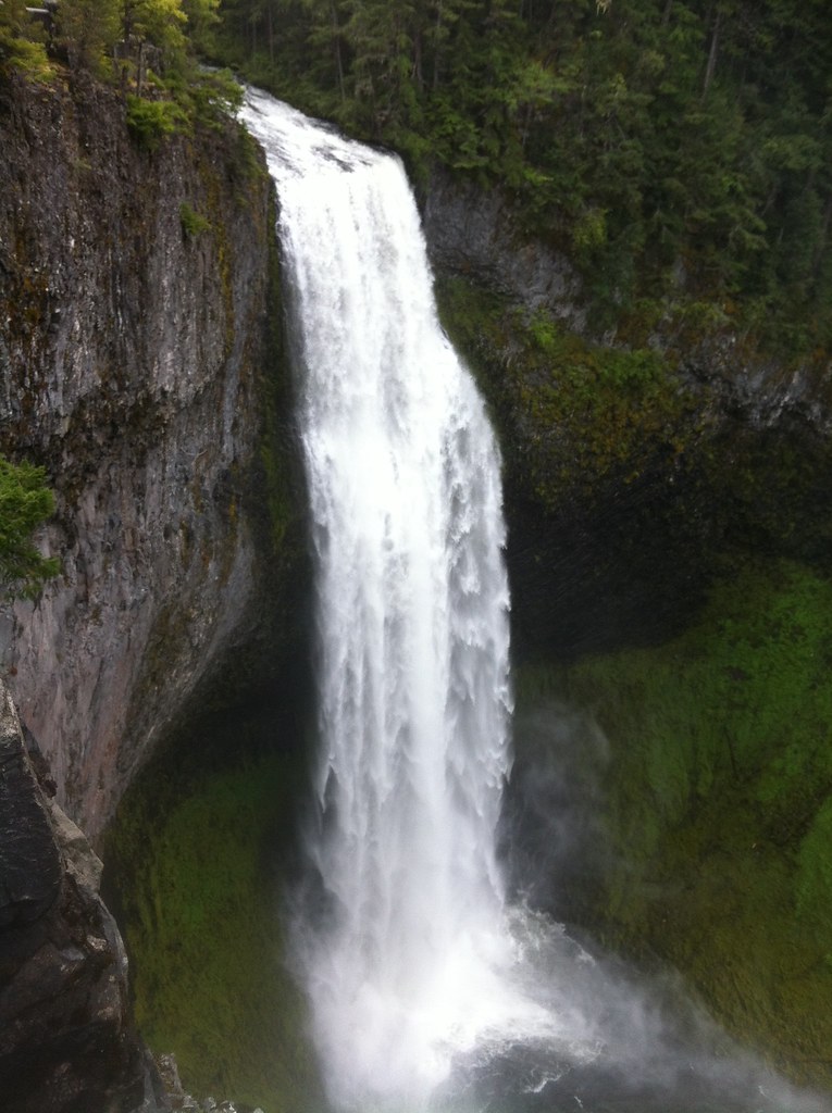 Photo: cjmartin, CC BY 2.0 (via Flickr)
FUJI CREEK NORDIC
~6 min drive
6.62-mile out-and-back trail in Oregon with 2,381 ft elevation gain and loss.
HIKE
Crater Butte
~11 min drive
25.85-mile out-and-back trail at Crater Butte in Oregon with 1,209 ft gain.
