Wild Horse Tie
 Photo: NASA World Wind, Public domain (via Wikimedia Commons)
- 0.3 mi
- round trip
- 116 ft
- climb
- 5,201 ft
- high point
- Out and back
- route
- May–Oct
- best months
Wild Horse Tie is an easy out-and-back hike on Bureau of Land Management land in southwest Oregon, within the Medford Ashland Field Office. The route is short and gentle, covering about 0.6 miles with a total elevation gain of 116 feet. The trip starts and ends near 5130 feet, and the high point reaches about 5200 feet. Summer is the most comfortable time to go. Typical averages from a nearby weather station at Howard Prairie Dam show July and August highs around 79°F with only a couple of wet days a month, while winter brings frequent snow. The hike takes about half an hour. Hyatt Lake Recreation Area, a campground about a mile away, makes a natural base for an overnight stay. Within a few miles are the Pacific Crest National Scenic Trail, the Greensprings climbing area and Keene Creek for paddling.
Local outfitters
- Ashland Family YMCA14 mi away
- Momentum River Expeditions14 mi away
Not on Roamze yet. Their page has how to reach them.
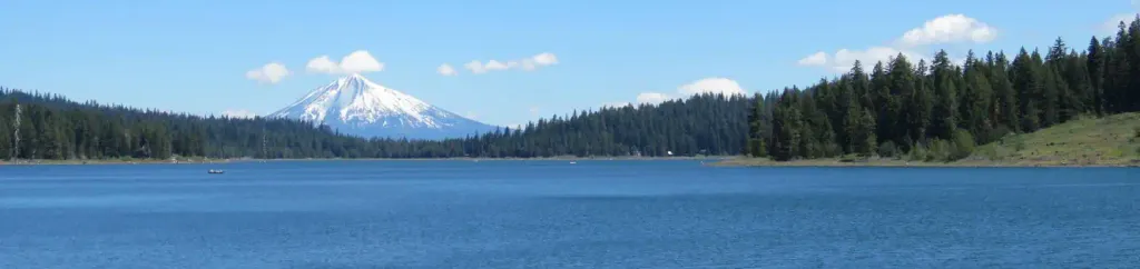 Hyatt Lake Recreation AreaCampingPhoto: Recreation.gov (RIDB) / public domain1 mi
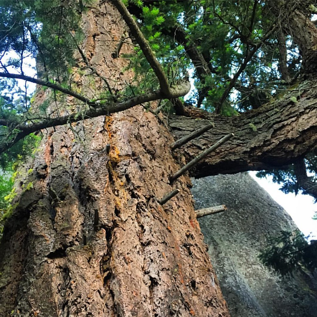 Pacific Crest National Scenic TrailHikingPhoto: gregor_y, CC BY-SA 2.0 (via Flickr)3.6 mi
- GreenspringsRock climbing4 mi
- Keene CreekCanoeing4 mi
- Grizzly CreekCanoeing5.2 mi
- Lily GlenHiking5.2 mi
- Aqua WallRock climbing8 mi
- Beaver Dam CampgroundCamping9.7 mi
Source: Roamze catalog (indexable pages within 10 miles, PostGIS distance)
- Pacific Crest National Scenic TrailHiking · ~6 min drivePhoto: gregor_y, CC BY-SA 2.0 (via Flickr)
- Green Springs Mountain LoopHiking · ~6 min drivePhoto: gregor_y, CC BY-SA 2.0 (via Flickr)
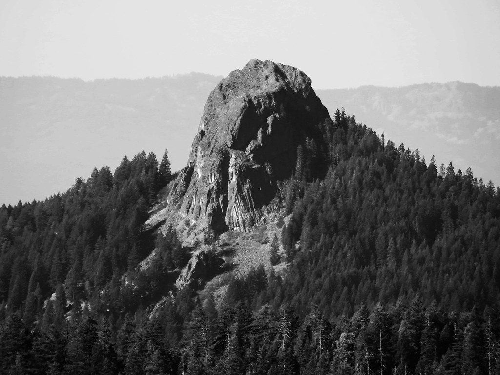 Boccard Point TrailHiking · ~15 min drivePhoto: BLM Oregon & Washington, CC BY-SA 2.0 (via Flickr)
- Lily GlenHiking · ~9 min drive
 Lone Pilot TrailHiking · ~19 min drivePhoto: BLM Oregon & Washington, CC BY 2.0 (via Wikimedia Commons)
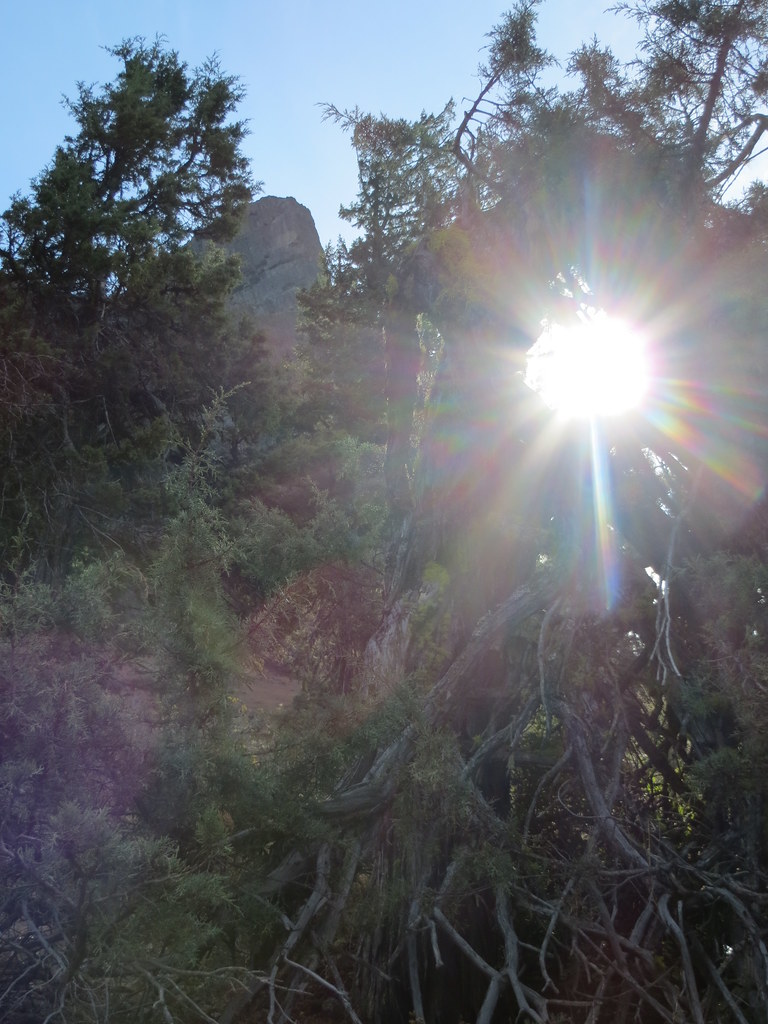 Pilot RockHiking · ~20 min drivePhoto: BLM Oregon & Washington, CC BY-SA 2.0 (via Flickr)
- Grizzly PeakHiking · ~18 min drive
- CatwalkHiking · ~21 min drive
- Pct - Oregon Section BHiking · ~20 min drivePhoto: BLM Oregon & Washington, CC BY-SA 2.0 (via Flickr)
 Marty's TieHiking · ~22 min drivePhoto: kallahar, CC BY 3.0 (via Wikimedia Commons)
Best time to visit Wild Horse Tie
Best months: May–October. Best months have typical highs of 55–85 °F, lows of 30 °F or warmer (32 °F where the station doesn't record snow), at most one snowy day and no more than 12 wet days.
Jan
36° / 23°
15 wet · 9 snow
Feb
40° / 23°
14 wet · 8 snow
Mar
45° / 26°
16 wet · 8 snow
Apr
50° / 29°
13 wet · 4 snow
May
60° / 36°
11 wet · 1 snow
Jun
68° / 40°
5 wet
Jul
79° / 47°
3 wet
Aug
79° / 46°
2 wet
Sep
72° / 40°
4 wet
Oct
58° / 33°
8 wet · 1 snow
Nov
42° / 28°
13 wet · 5 snow
Dec
35° / 23°
15 wet · 9 snow
Typical high / low (°F) and days with rain or snow, 1991–2020. Measured at Howard Prairie Dam, OR, 5 mi away at 4,567 ft. The station sits about 600 ft lower than this place, so expect it a little cooler here. Source: NOAA NCEI U.S. Climate Normals 1991–2020.
