Visitor Center Loop
- 0.3 mi
- round trip
- 112 ft
- climb
- 51 ft
- high point
- Out and back
- route
- Apr–Oct
- best months
Is Visitor Center Loop open right now?
No closures listed
The National Park Service lists no closures for Lewis and Clark National Historical Park.
As of · Source: NPS · Lewis and Clark National Historical Park. Agencies don't list every closure — check before you go.
Visitor Center Loop is a short, easy hike in Lewis and Clark National Historical Park in Oregon, managed by the National Park Service. The route is about 0.3 miles one way, with a total round-trip distance of roughly 0.6 miles. It's a low-effort outing, with a total elevation gain of about 112 feet and a steepest grade of about 8% near the 0.24-mile mark. Summer is the most comfortable time to go. Typical averages from a nearby weather station show July and August highs around 70°F with lows near 53°F, while winter highs sit in the upper 40s. A fee is charged for the visit. The Lower Slough Trail and South Slough Trail both start within a third of a mile, and the Kwis Kwis Trail is about 0.9 miles away.
Local outfitters
- Snow Peak Campfield Long Beach16 mi away
- Ocean Park Camp & Retreat Center27 mi away
Not on Roamze yet. Their page has how to reach them.
- Lower Slough TrailHiking0.2 mi
- South Slough TrailHiking0.3 mi
- Kwis Kwis ExtensionHiking0.9 mi
- Kwis Kwis TrailHiking0.9 mi
 Fort to Sea TrailHikingPhoto: stevelyon, CC BY-SA 2.0 (via Flickr)3.8 mi
- DeLaura Dune TrailMountain biking5.6 mi
- Jetty TrailMountain biking6.8 mi
- Wallooskee RiverCanoeing6.9 mi
Source: Roamze catalog (indexable pages within 10 miles, PostGIS distance)
- Fort to Sea TrailHiking · ~7 min drivePhoto: stevelyon, CC BY-SA 2.0 (via Flickr)
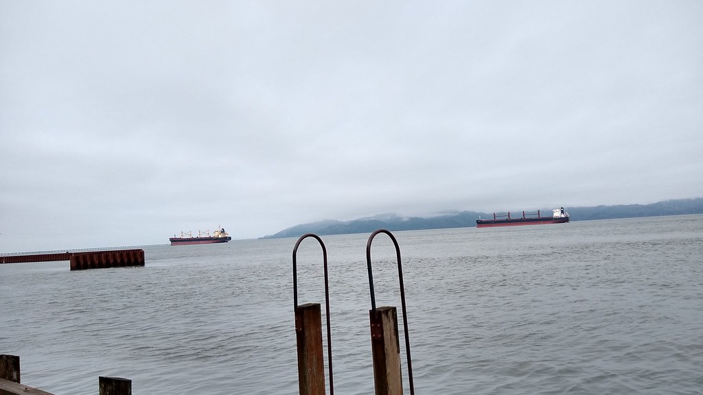 Astoria Riverwalk AlderbrookHiking · ~10 min drivePhoto: mjfmjfmjf, CC BY 2.0 (via Flickr)
 Arch Cape to Cape Falcon TrailHiking · ~41 min drivePhoto: mjfmjfmjf, CC BY 2.0 (via Flickr)
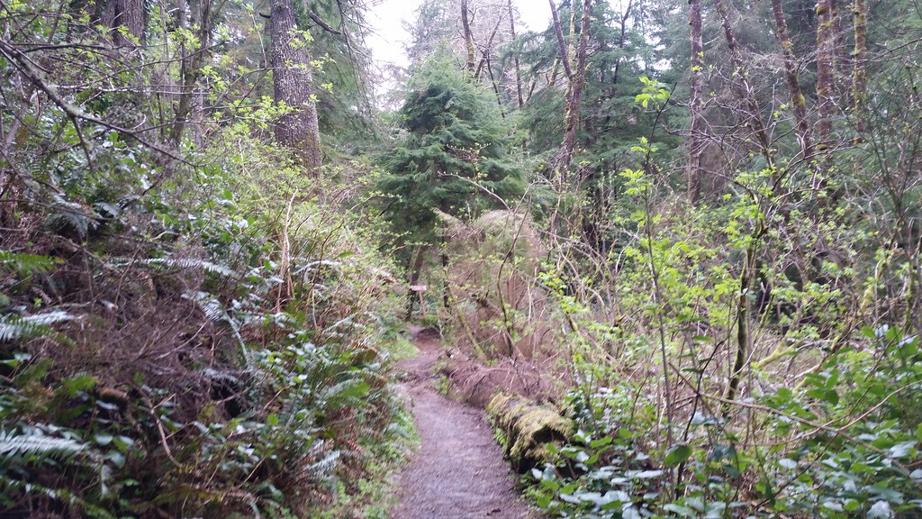 Lewis and Clark Discovery Trail - Oregon Coast TrailHiking · ~20 min drivePhoto: cifraser1, CC BY 2.0 (via Flickr)
 Clatsop Loop Trail - Oregon Coast TrailHiking · ~24 min drivePhoto: mjfmjfmjf, CC BY 2.0 (via Flickr)
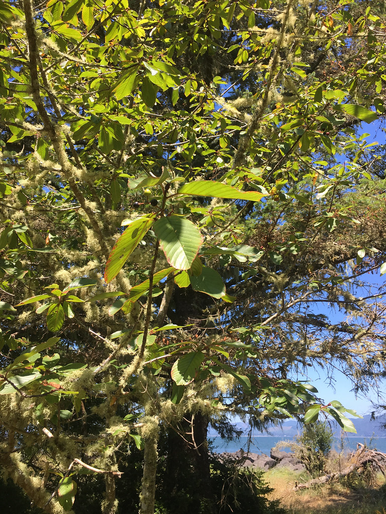 Jetty TrailHiking · ~12 min drivePhoto: r.mcminds, CC BY 2.0 (via Flickr)
 Clatsop Loop TrailHiking · ~25 min drivePhoto: PennyLennox, CC BY 3.0 (via Wikimedia Commons)
 Ridge PathHiking · ~12 min drivePhoto: stevelyon, CC BY-SA 2.0 (via Flickr)
 Crescent Beach TrailHiking · ~26 min drivePhoto: eugene_o, CC BY 2.0 (via Flickr)
 Ridge PathHiking · ~14 min drivePhoto: Sam Beebe, CC BY 2.0 (via Flickr)
Best time to visit Visitor Center Loop
Best months: April–October. Best months have typical highs of 55–85 °F, lows of 30 °F or warmer (32 °F where the station doesn't record snow), at most one snowy day and no more than 12 wet days.
Jan
49° / 38°
Feb
51° / 37°
Mar
54° / 39°
Apr
58° / 41°
May
64° / 45°
Jun
67° / 49°
Jul
70° / 53°
Aug
71° / 53°
Sep
70° / 49°
Oct
61° / 45°
Nov
53° / 40°
Dec
49° / 37°
Typical high / low (°F) and days with rain or snow, 1991–2020. Measured at Ft Clatsop Natl Mem, OR, 0.2 mi away at 42 ft. This station doesn't record snowfall. Source: NOAA NCEI U.S. Climate Normals 1991–2020.
