Scout Lake
Campground
Campground · 3.4 mi from the trail
Closure in the area
There's a closure order in Deschutes National Forest. It doesn't name TRAIL 20 - CACHE MOUNTAIN, so check the source for the area it covers.
West Bend Area Trail Closures
Agency closure covering Deschutes National Forest · USFS · Deschutes National Forest
Camping & Campfire Restrictions Forest Order
Agency alert covering Deschutes National Forest · Order 06-01-26-01 · USFS · Deschutes National Forest
Cave Resource Protection Forest Order
Agency alert covering Deschutes National Forest · Order 06-01-26-02 · USFS · Deschutes National Forest
Deschutes 14-Day Camping Order
Agency alert covering Deschutes National Forest · Order 06-01-25-01 · USFS · Deschutes National Forest
Wilderness Permit, Camping & Fire Restrictions Order
Agency alert covering Deschutes National Forest · Order 06-01-24-01 · USFS · Deschutes National Forest
As of · Source: USFS · Deschutes National Forest. Agencies don't list every closure — check before you go.
Trail 20 - Cache Mountain is a moderate out-and-back hike in the Sisters Ranger District of Oregon's Deschutes National Forest, managed by the Forest Service. The route is 2.7 miles long, starting at about 5,050 feet and climbing to a high point of 5,557 feet, for a total elevation gain of 1,032 feet. The steepest section comes near the 0.7-mile mark, with a grade of about 19%, and the whole trip takes about 1.5 hours. The hike is a short, focused climb to the summit. It is a good choice for a day on foot in this part of the forest, and the route itself is a straightforward out-and-back. Several other trails lie close by. Trail 22 - Cache Mt Cuttof is about 1.1 miles away, and Trail 10 - Cache Mountain Loop is about 1.8 miles off. For an overnight stay, Scout Lake campground is about 3.4 miles away, and Suttle Lake offers fishing about 4.3 miles from the trail.
Scout Lake
Campground
Kiwanis club
Attraction
Places © OpenStreetMap contributors
More in SistersNot on Roamze yet. Their page has how to reach them.
 Photo: eddiecoyote, CC BY 2.0 (via Flickr)
TRAIL #4 - LINK LAKE CUTOFF
~3 min drive
1.56-mile out-and-back trail with 256 ft gain and loss, max elevation 4,515 ft.
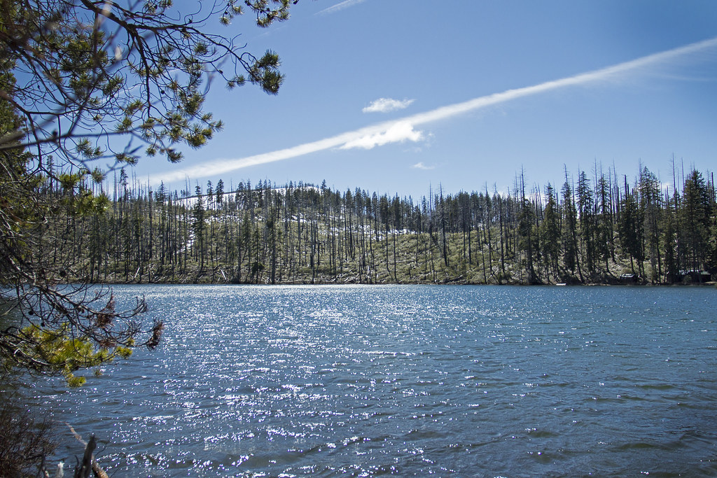 Photo: Bonnie Moreland (free images), Public Domain Mark (via Flickr)
TRAIL 14 - SUTTLE LAKE LOOP
~3 min drive
17.68-mile out-and-back trail with 2,208 ft elevation gain and loss in Oregon.
Photo: eddiecoyote, CC BY 2.0 (via Flickr)CIRCLE LAKE XC
~5 min drive
5.7-mile out-and-back trail in Oregon with 590 ft elevation gain
HIKE
Old Summit Trail #4014
~8 min drive
15.78-mile out-and-back trail in Oregon with 2,615 ft gain and 5,467 ft max elevation.
Photo: Bonnie Moreland (free images), Public Domain Mark (via Flickr)TRAIL 10 - CACHE MOUNTAIN LOOP
~3 min drive
3.98-mile out-and-back trail in Oregon with 738 ft elevation gain and loss.
HIKE
Old Summit
~8 min drive
11.60-mile out-and-back trail in Oregon with 1,253 ft elevation gain.
 Photo: mdornseif, CC BY-SA 2.0 (via Flickr)
Suttle Lake Loop
~8 min drive
3.14-mile out-and-back trail at Suttle Lake in Oregon with 413 ft gain.
Photo: Bonnie Moreland (free images), Public Domain Mark (via Flickr)Dark Lake
~4 min drive
1.66-mile out-and-back trail to Dark Lake in Oregon with 170 ft elevation gain.
HIKE
Pacific Crest Trail - Wif1 - Oregon
~8 min drive
Challenging 112-mile PCT point-to-point through Oregon's Cascades.
HIKE
TRAIL #3A
~6 min drive
5.82-mile out-and-back hike in Oregon with 659 ft elevation gain/loss.
About 1.4 mi round trip.
About 1,032 ft of climbing round trip.
It is rated moderate.
About 1 hour round trip.
Daily highs and lows, wind and the chance of precipitation at the summit and route start for the next 7 days, from the Open-Meteo model.


