Big Lake
Campground
Campground · 2.3 mi from the trail
 Photo: eddiecoyote, CC BY 2.0 (via Flickr)
Closure in the area
There's a closure order in Deschutes National Forest. It doesn't name CIRCLE LAKE XC, so check the source for the area it covers.
West Bend Area Trail Closures
Agency closure covering Deschutes National Forest · USFS · Deschutes National Forest
Camping & Campfire Restrictions Forest Order
Agency alert covering Deschutes National Forest · Order 06-01-26-01 · USFS · Deschutes National Forest
Cave Resource Protection Forest Order
Agency alert covering Deschutes National Forest · Order 06-01-26-02 · USFS · Deschutes National Forest
Deschutes 14-Day Camping Order
Agency alert covering Deschutes National Forest · Order 06-01-25-01 · USFS · Deschutes National Forest
Wilderness Permit, Camping & Fire Restrictions Order
Agency alert covering Deschutes National Forest · Order 06-01-24-01 · USFS · Deschutes National Forest
As of · Source: USFS · Deschutes National Forest. Agencies don't list every closure — check before you go.
Circle Lake XC is a moderate out-and-back hike in the Sisters Ranger District of Deschutes National Forest in Oregon, managed by the Forest Service. The trail is about 5.7 miles long, with a total climb of about 590 feet and a high point of about 4,827 feet. The route starts at roughly 4,717 feet and ends at the same elevation, so the climb is steady and the steepest stretch comes around mile 2.4, where the grade reaches about 7%. Summer is the most comfortable time to go. Typical averages from a nearby weather station at Santiam Junction show July and August highs around 76°F with lows near 42°F, and the station sits about 1,000 feet lower than the trail's high point, so temperatures on the route run cooler. Several other trails lie close by. Trail #1 - Island Lake is about half a mile away, and Two Buttes Cutoff and Trail #4 - Link Lake Cutoff are each within about a mile. For an overnight stay, Big Lake campground is about 2.3 miles off.
Big Lake
Campground
Kiwanis club
Attraction
Places © OpenStreetMap contributors
More in SistersNot on Roamze yet. Their page has how to reach them.
Best months: May–October. Best months have typical highs of 55–85 °F, lows of 30 °F or warmer (32 °F where the station doesn't record snow), at most one snowy day and no more than 12 wet days.
Jan
38° / 24°
Feb
41° / 24°
Mar
44° / 26°
Apr
49° / 29°
May
58° / 35°
Jun
65° / 38°
Jul
76° / 42°
Aug
76° / 42°
Sep
69° / 39°
Oct
56° / 33°
Nov
42° / 28°
Dec
36° / 23°
Typical high / low (°F) and days with rain or snow, 1991–2020. Measured at Santiam Junction, OR, 6.1 mi away at 3,750 ft. The station sits about 1,100 ft lower than this place, so expect it a little cooler here. This station doesn't record snowfall. Source: NOAA NCEI U.S. Climate Normals 1991–2020.
Photo: eddiecoyote, CC BY 2.0 (via Flickr)TRAIL #1 - ISLAND LAKE
Next door
2.98-mile out-and-back hike to Island Lake in Oregon with 549 ft elevation gain
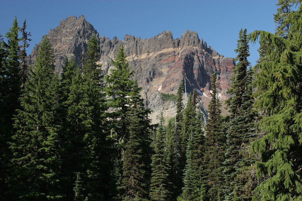 Photo: Forest Service Pacific Northwest Region, Public Domain Mark (via Flickr)
Three-Fingered Jack Climbers Trail
~9 min drive
1.06-mile out-and-back trail in Oregon with 1,227 ft elevation gain.
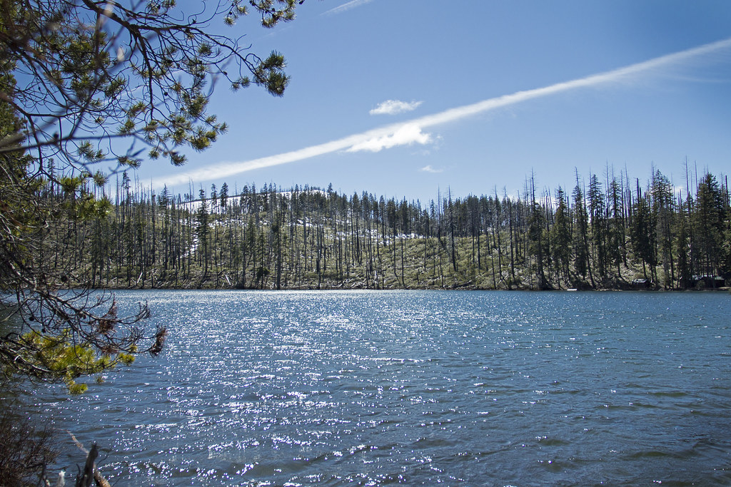 Photo: Bonnie Moreland (free images), Public Domain Mark (via Flickr)
TRAIL 14 - SUTTLE LAKE LOOP
~5 min drive
17.68-mile out-and-back trail with 2,208 ft elevation gain and loss in Oregon.
HIKE
Old Summit Trail #4014
~4 min drive
15.78-mile out-and-back trail in Oregon with 2,615 ft gain and 5,467 ft max elevation.
Photo: eddiecoyote, CC BY 2.0 (via Flickr)TRAIL #4 - LINK LAKE CUTOFF
~2 min drive
1.56-mile out-and-back trail with 256 ft gain and loss, max elevation 4,515 ft.
HIKE
TRAIL #3A
~3 min drive
5.82-mile out-and-back hike in Oregon with 659 ft elevation gain/loss.
HIKE
Pacific Crest Trail - Wif1 - Oregon
~4 min drive
Challenging 112-mile PCT point-to-point through Oregon's Cascades.
Photo: Bonnie Moreland (free images), Public Domain Mark (via Flickr)TRAIL 10 - CACHE MOUNTAIN LOOP
~5 min drive
3.98-mile out-and-back trail in Oregon with 738 ft elevation gain and loss.
HIKE
NORTH LOOP
~3 min drive
6.06-mile out-and-back trail in Oregon with 511 ft elevation gain
HIKE
Old Summit
~5 min drive
11.60-mile out-and-back trail in Oregon with 1,253 ft elevation gain.

