Surveyors Ridge
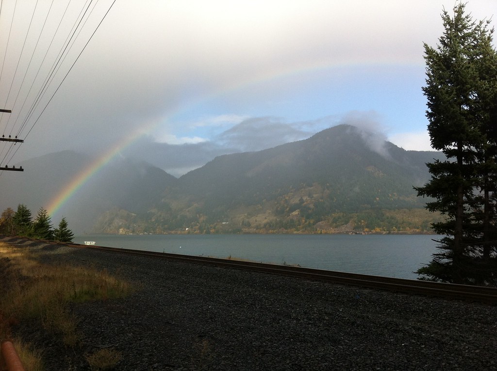
 Photo: Šarūnas Burdulis from USA, CC BY-SA 2.0 (via Wikimedia Commons)
- 35.3 mi
- round trip
- 5,086 ft
- climb
- 4,640 ft
- high point
- Out and back
- route
- Jun–Sep
- best months
Surveyors Ridge is a hard out-and-back hike in Oregon, about 2.5 miles from the town of Mount Hood. The route rises from a low point of 2,444 feet to a high of 4,640 feet, with a total elevation gain of 5,086 feet over the course of the trip. The climb is front-loaded, and the steepest stretch comes at about 1.6 miles in, where the grade reaches 24 percent. Summer is the most comfortable time to go. Typical averages from a nearby weather station at Government Camp show July and August highs around 70°F with only about four wet days a month, while winter months bring highs in the mid-30s and rain on most days. The hike takes about 14.5 hours to complete. Oak Ridge and Nature Trail are both within about 4 miles, and the Middle Fork Hood River offers canoeing about 6 miles away. Knebal Springs Campground, roughly 9 miles off, is the closest place to camp.
Local outfitters
- Bike the Gorge19 mi away
- Imperial River Company35 mi away
Not on Roamze yet. Their page has how to reach them.
- Oak RidgeHiking3 mi
 Nature TrailHikingPhoto: niiicedave, CC BY-SA 2.0 (via Flickr)3.6 mi
- ThoroughbredHiking4.2 mi
- Show PonyHiking4.9 mi
- Middle Fork Hood RiverCanoeing5.8 mi
- Mosier CreekCanoeing7.8 mi
- Knebal Springs CgCamping9.2 mi
- Kinni Kinnik CampgroundCamping9.6 mi
Source: Roamze catalog (indexable pages within 10 miles, PostGIS distance)
- Nature TrailHiking · ~6 min drivePhoto: niiicedave, CC BY-SA 2.0 (via Flickr)
 Mitchell Point TrailHiking · ~18 min drivePhoto: Glenn Scofield Williams from Portland, Oregon, USA, CC BY 2.0 (via Wikimedia Commons)
- North Section LineHiking · ~11 min drive
- Whoopdee Trail (2021 Reroute)Hiking · ~12 min drive
 Hood River Penstock Pipeline TrailHiking · ~15 min drivePhoto: msprague, CC BY-SA 2.0 (via Flickr)
 Chetwoot Loop TrailHiking · ~18 min drivePhoto: Hugh_Mann_Photo, CC BY-SA 2.0 (via Flickr)
- Dog RiverHiking · ~13 min drive
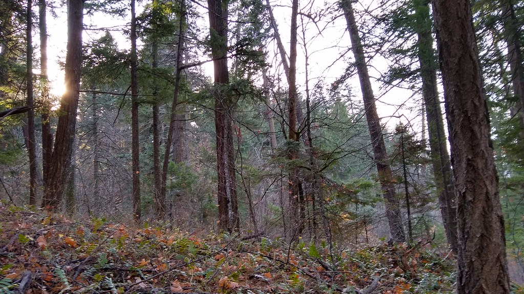 140 TrailHiking · ~16 min drivePhoto: mjfmjfmjf, CC BY 2.0 (via Flickr)
- Oak RidgeHiking · ~5 min drive
- Rainy-KingsleyHiking · ~16 min drive
Best time to visit Surveyors Ridge
Best months: June–September. Best months have typical highs of 55–85 °F, lows of 30 °F or warmer (32 °F where the station doesn't record snow), at most one snowy day and no more than 12 wet days.
Jan
37° / 26°
20 wet
Feb
38° / 26°
17 wet
Mar
41° / 28°
20 wet
Apr
45° / 31°
18 wet
May
54° / 36°
15 wet
Jun
59° / 41°
10 wet
Jul
69° / 48°
4 wet
Aug
70° / 48°
4 wet
Sep
64° / 45°
8 wet
Oct
53° / 37°
13 wet
Nov
42° / 30°
18 wet
Dec
35° / 26°
21 wet
Typical high / low (°F) and days with rain or snow, 1991–2020. Measured at Government Camp, OR, 20.8 mi away at 3,980 ft. The station sits about 700 ft lower than this place, so expect it a little cooler here. This station doesn't record snowfall. Source: NOAA NCEI U.S. Climate Normals 1991–2020.

