Oak Ridge
- 2.8 mi
- round trip
- 1,349 ft
- climb
- 3,670 ft
- high point
- Out and back
- route
- Jun–Sep
- best months
Oak Ridge is a 2.8-mile out-and-back hike in Oregon, about 1.5 miles from the town of Mount Hood. The trail rises from a low point of 2,442 feet to a high of 3,670 feet, with a total elevation gain of 1,349 feet. The climb is front-loaded, and the steepest stretch comes at about 0.8 miles in, where the grade reaches 33 percent. The trail is natural-surface and not accessible. Summer is the most comfortable time to go. Typical averages from a nearby weather station at Government Camp show July and August highs around 70°F with only about four wet days a month, while winter months bring highs in the mid-30s and rain on 20 or more days. The hike takes about 1.5 hours. The Nature Trail lies about a mile away, and the Thoroughbred hike is about 2 miles off. Paddlers can reach the Middle Fork Hood River about 4 miles away, and Knebal Springs Campground is about 7 miles away.
Local outfitters
- Bike the Gorge20 mi away
- Imperial River Company33 mi away
Not on Roamze yet. Their page has how to reach them.
Best time to go · Jun–Sep
Best time to visit Oak Ridge
Best months: June–September. Best months have typical highs of 55–85 °F, lows of 30 °F or warmer (32 °F where the station doesn't record snow), at most one snowy day and no more than 12 wet days.
Jan
37° / 26°
20 wet
Feb
38° / 26°
17 wet
Mar
41° / 28°
20 wet
Apr
45° / 31°
18 wet
May
54° / 36°
15 wet
Jun
59° / 41°
10 wet
Jul
69° / 48°
4 wet
Aug
70° / 48°
4 wet
Sep
64° / 45°
8 wet
Oct
53° / 37°
13 wet
Nov
42° / 30°
18 wet
Dec
35° / 26°
21 wet
Typical high / low (°F) and days with rain or snow, 1991–2020. Measured at Government Camp, OR, 17.9 mi away at 3,980 ft. This station doesn't record snowfall. Source: NOAA NCEI U.S. Climate Normals 1991–2020.
Keep exploring — more trails worth the drive
 Photo: niiicedave, CC BY-SA 2.0 (via Flickr)
Nature Trail
~2 min drive
0.64-mile out-and-back trail in Oregon with 64 ft of elevation gain.
 Photo: Šarūnas Burdulis from USA, CC BY-SA 2.0 (via Wikimedia Commons)
Surveyors Ridge
~5 min drive
Remote 26-mile out-and-back ridge traverse with alpine views.
 Photo: inkknife_2000 (7.5 million views +), CC BY-SA 2.0 (via Wikimedia Commons)
Pinnacle Ridge Trail #630
~14 min drive
3.27-mile out-and-back trail in Oregon with 2,232 ft elevation gain.
HIKE
Whoopdee Trail (2021 Reroute)
~17 min drive
9.0-mile out-and-back trail in Oregon with 2,489 ft elevation gain and loss.
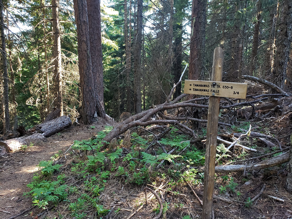 Photo: niiicedave, CC BY-SA 2.0 (via Flickr)
Tamanawas Tie
~14 min drive
0.76-mile out-and-back trail in Oregon with 171 ft of elevation gain.
 Photo: inkknife_2000 (7.5 million views +), CC BY-SA 2.0 (via Wikimedia Commons)
Eliot Glacier
~17 min drive
2.10-mile out-and-back trail in Oregon with 834 ft elevation gain.
 Photo: inkknife_2000 (7.5 million views +), CC BY-SA 2.0 (via Wikimedia Commons)
Elk Cove
~15 min drive
4.80-mile out-and-back trail in Oregon with 1,090 ft elevation gain.
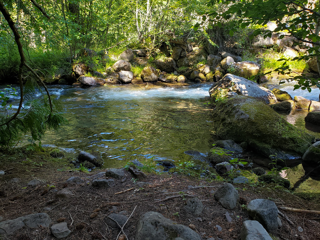 Photo: niiicedave, CC BY-SA 2.0 (via Flickr)
Pete's Pile climbers trail
~14 min drive
0.7-mile out-and-back trail in Oregon with 492 ft elevation gain.
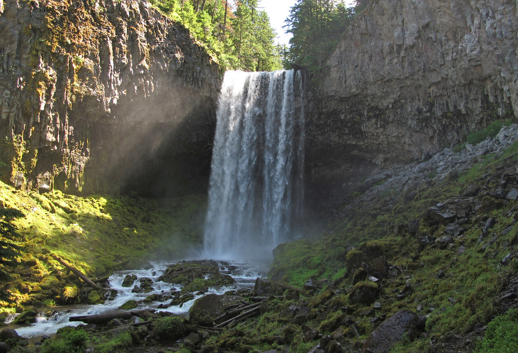 Photo: pmuellr, CC BY 2.0 (via Flickr)
Bluegrass Ridge
~15 min drive
10.80-mile out-and-back trail in Oregon with 1,888 ft elevation gain.
 Photo: lumachrome, CC BY-SA 2.0 (via Flickr)
Tilly Jane Ski Trail #643
~17 min drive
5.06-mile out-and-back ski trail in Oregon with 2,086 ft gain/loss.

