Large Quarry
Campground
Campground · 1.6 mi from the trail
Dog River is a 10.5-mile out-and-back hike in Oregon, with a total elevation gain of 2,798 feet. The trail starts at about 2,400 feet and climbs to a high point of 4,030 feet, and the steepest stretch comes at about 1.5 miles in, where the grade reaches 21%. The route is rated hard, and the trail surface is natural. The nearest town is Parkdale, about 4.4 miles away. Summer is the most comfortable time to go. Typical averages from the nearby Government Camp weather station show July and August highs around 70°F with only about four wet days a month, while winter months bring highs in the mid-30s and rain on most days. The trip takes about five hours. For more time on foot, Surveyor's Ridge Trail #688 and North Section Line are both about 2.2 miles away. Climbers can head to Klinger Spring, about 3.5 miles off, and Cloud Cap Saddle campground sits about 4 miles away.
Large Quarry
Campground
Crooked Tree Tavern & Grill
Restaurant
 If it rainsJmasterson, CC BY-SA 3.0 · Wikimedia Commons
Western Antique Aeroplane & Automobile Museum
Museum
Aviation and automobile museum in Oregon, United States
Places © OpenStreetMap contributors · Photos: Jmasterson, CC BY-SA 3.0 (commons)
More in Mount Hood VillagesNot on Roamze yet. Their page has how to reach them.
Best months: June–September. Best months have typical highs of 55–85 °F, lows of 30 °F or warmer (32 °F where the station doesn't record snow), at most one snowy day and no more than 12 wet days.
Jan
37° / 26°
20 wet
Feb
38° / 26°
17 wet
Mar
41° / 28°
20 wet
Apr
45° / 31°
18 wet
May
54° / 36°
15 wet
Jun
59° / 41°
10 wet
Jul
69° / 48°
4 wet
Aug
70° / 48°
4 wet
Sep
64° / 45°
8 wet
Oct
53° / 37°
13 wet
Nov
42° / 30°
18 wet
Dec
35° / 26°
21 wet
Typical high / low (°F) and days with rain or snow, 1991–2020. Measured at Government Camp, OR, 14 mi away at 3,980 ft. This station doesn't record snowfall. Source: NOAA NCEI U.S. Climate Normals 1991–2020.
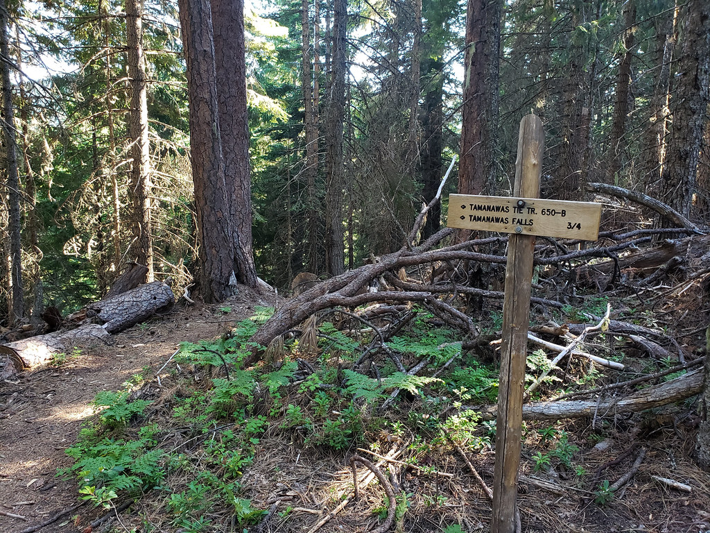 Photo: niiicedave, CC BY-SA 2.0 (via Flickr)
Tamanawas Tie
~6 min drive
0.76-mile out-and-back trail in Oregon with 171 ft of elevation gain.
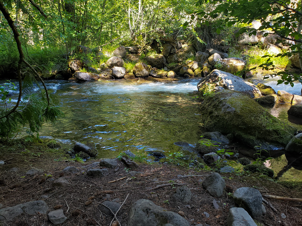 Photo: niiicedave, CC BY-SA 2.0 (via Flickr)
Tamanawas Falls
~7 min drive
2.20-mile out-and-back to Tamanawas Falls in Oregon with 1,035 ft gain.
 Photo: inkknife_2000 (7.5 million views +), CC BY-SA 2.0 (via Wikimedia Commons)
Eliot Glacier
~10 min drive
2.10-mile out-and-back trail in Oregon with 834 ft elevation gain.
 Photo: inkknife_2000 (7.5 million views +), CC BY-SA 2.0 (via Wikimedia Commons)
Elk Cove Trail #631
~13 min drive
4.66-mile out-and-back trail in Oregon with 393 ft elevation gain.
Photo: niiicedave, CC BY-SA 2.0 (via Flickr)Pete's Pile climbers trail
~7 min drive
0.7-mile out-and-back trail in Oregon with 492 ft elevation gain.
 Photo: inkknife_2000 (7.5 million views +), CC BY-SA 2.0 (via Wikimedia Commons)
Pinnacle Ridge Trail #630
~10 min drive
3.27-mile out-and-back trail in Oregon with 2,232 ft elevation gain.
Photo: inkknife_2000 (7.5 million views +), CC BY-SA 2.0 (via Wikimedia Commons)Cooper Spur Trail #600B
~11 min drive
2.56-mile out-and-back trail in Oregon with 2,864 ft elevation gain
 Photo: niiicedave, CC BY-SA 2.0 (via Flickr)
Nature Trail
~7 min drive
0.64-mile out-and-back trail in Oregon with 64 ft of elevation gain.
Photo: inkknife_2000 (7.5 million views +), CC BY-SA 2.0 (via Wikimedia Commons)Eliot West Moraine
~11 min drive
1.31-mile out-and-back trail at Eliot West Moraine in Oregon with 1,415 ft of elevation gain.
 Photo: Šarūnas Burdulis from USA, CC BY-SA 2.0 (via Wikimedia Commons)
Surveyors Ridge
~13 min drive
Remote 26-mile out-and-back ridge traverse with alpine views.

