South Pass Lake
 Photo: U.S. Forest Service- Pacific Northwest Region, Public domain (via Wikimedia Commons)
- 3.8 mi
- round trip
- 1,729 ft
- climb
- 7,362 ft
- high point
- Out and back
- route
Is South Pass Lake open right now?
No closures listed
The Forest Service lists no closures for Fremont-Winema National Forest.
As of · Source: USFS · Fremont-Winema National Forest. Agencies don't list every closure — check before you go.
South Pass Lake is a 3.8-mile out-and-back hike in Oregon's Mountain Lakes Wilderness, within the Klamath Ranger District of the Fremont-Winema National Forest. The trail is managed by the Forest Service and rated moderate, with a one-way elevation gain of 835 feet and a total round-trip gain of 1,729 feet. The route starts at about 7,360 feet and reaches a high point of 7,362 feet, so the climb is short but steep, with the steepest stretch at about 0.17 miles from the start. The trail is natural-surface and allows horses, and it is not accessible. Bikes are not allowed. The trip is estimated to take about two hours, and the trail is open year-round. Nearby, the Mountain Lakes Loop Trail is about 1.5 miles away and the Mountain Lakes Loop about 2.2 miles. For an overnight stay, Sunset - Lake of the Woods (OR) is about 6.2 miles off, and Doe Point Campground is about 6.9 miles away.
Local outfitters
- Yamsi Fly Fishing17 mi away
- Crater Lake Zipline and Kayak Tours17 mi away
Not on Roamze yet. Their page has how to reach them.
Keep exploring — more trails worth the drive
 Photo: ex_magician, CC BY 2.0 (via Flickr)
VARNEY CREEK
~7 min drive
6.4-mile out-and-back trail in Oregon with 1,214 ft elevation gain and loss.
 Photo: james shaw, CC BY-SA 3.0 (via Wikimedia Commons)
Campground Shorefront Trail
~11 min drive
2.12-mile out-and-back trail in Oregon with 375 ft elevation gain
 Photo: james shaw, CC BY-SA 3.0 (via Wikimedia Commons)
EAST FOURMILE LAKE
~12 min drive
10.22-mile out-and-back trail to East Fourmile Lake in Oregon with 1,683 ft gain
Photo: james shaw, CC BY-SA 3.0 (via Wikimedia Commons)Mountain Lakes
~10 min drive
3.20-mile out-and-back trail to Mountain Lakes in Oregon with 602 ft gain.
Photo: james shaw, CC BY-SA 3.0 (via Wikimedia Commons)FAMILY LOOP BIKE
~12 min drive
1.93-mile loop trail in Oregon with 261 ft elevation gain
 Photo: james shaw, CC BY-SA 3.0 (via Wikimedia Commons)
VARNEY CREEK SNOMO
~12 min drive
11.94-mile out-and-back trail in Oregon with 1,666 ft elevation gain and loss.
Photo: james shaw, CC BY-SA 3.0 (via Wikimedia Commons)Sunset Cg
~11 min drive
3.60-mile out-and-back trail in Oregon with 295 ft elevation gain.
Photo: james shaw, CC BY-SA 3.0 (via Wikimedia Commons)High Lakes Trail #6200
~12 min drive
1.16-mile out-and-back trail in Oregon with 160 ft of elevation gain.
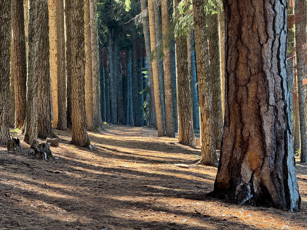 Photo: Holzwerk, CC BY 2.0 (via Flickr)
High Lakes Bike Trail
~14 min drive
6.70-mile out-and-back bike trail in Oregon with 698 ft elevation gain.
 Photo: lexly87 aka Duc N. Ly, CC BY-SA 2.0 (via Flickr)
South Ridge Trail
~12 min drive
4.43-mile out-and-back hike on Oregon's South Ridge Trail with 1,457 ft gain.

