Shut-In
- 3.6 mi
- round trip
- 748 ft
- climb
- 2,359 ft
- high point
- Out and back
- route
- Jun–Sep
- best months
Clear at last check
Weather is good · OpenWeather · checked 22 h ago
Shut-In is a 3.6-mile out-and-back hike on the Deschutes National Forest in Oregon, managed by the Forest Service. The trail rises about 228 feet from a starting point near 2,340 feet to a high point of 2,359 feet, with the steepest stretch at about 1.4 miles in, where the grade reaches 15%. The route is rated moderate, and the trail surface is natural, so plan on a walk that is as much about the climb as the distance. Summer is the most comfortable time to go. Typical averages from a nearby weather station show July and August highs around 82°F with only about four wet days a month, while winter brings highs in the low 40s and frequent snow from December through February. The trail is open year-round, and horses and bikes are both allowed. Shepard's Tower, a climbing area, sits about 2.3 miles away. For an overnight stay, Monty Campground is about 5.8 miles off, and Jefferson Lake is about 7.7 miles away.
Local outfitters
- Big Lake Youth Camp26 mi away
- Expedition Old Growth26 mi away
Not on Roamze yet. Their page has how to reach them.
Best time to go · Jun–Sep
Best time to visit Shut-In
Best months: June–September. Best months have typical highs of 55–85 °F, lows of 30 °F or warmer (32 °F where the station doesn't record snow), at most one snowy day and no more than 12 wet days.
Jan
40° / 27°
19 wet · 6 snow
Feb
44° / 27°
16 wet · 5 snow
Mar
49° / 29°
19 wet · 5 snow
Apr
56° / 33°
18 wet · 2 snow
May
64° / 38°
15 wet
Jun
71° / 43°
10 wet
Jul
82° / 47°
4 wet
Aug
82° / 46°
4 wet
Sep
74° / 41°
7 wet
Oct
60° / 35°
14 wet
Nov
46° / 31°
18 wet · 3 snow
Dec
38° / 27°
19 wet · 6 snow
Typical high / low (°F) and days with rain or snow, 1991–2020. Measured at Marion Forks Fish Hatchery, OR, 18.8 mi away at 2,475 ft. Source: NOAA NCEI U.S. Climate Normals 1991–2020.
Keep exploring — more trails worth the drive
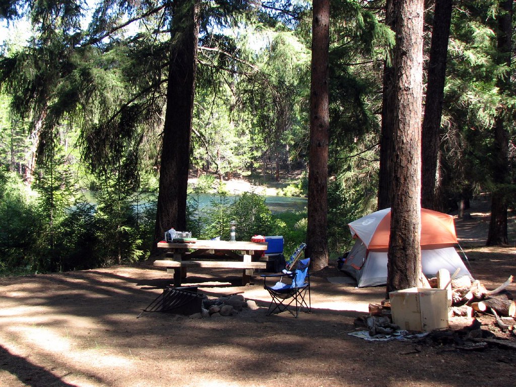 Photo: DBerry2006, CC BY 2.0 (via Flickr)
Jefferson Creek Trailhead
~13 min drive
5.16-mile out-and-back trail in Oregon with 650 ft elevation gain
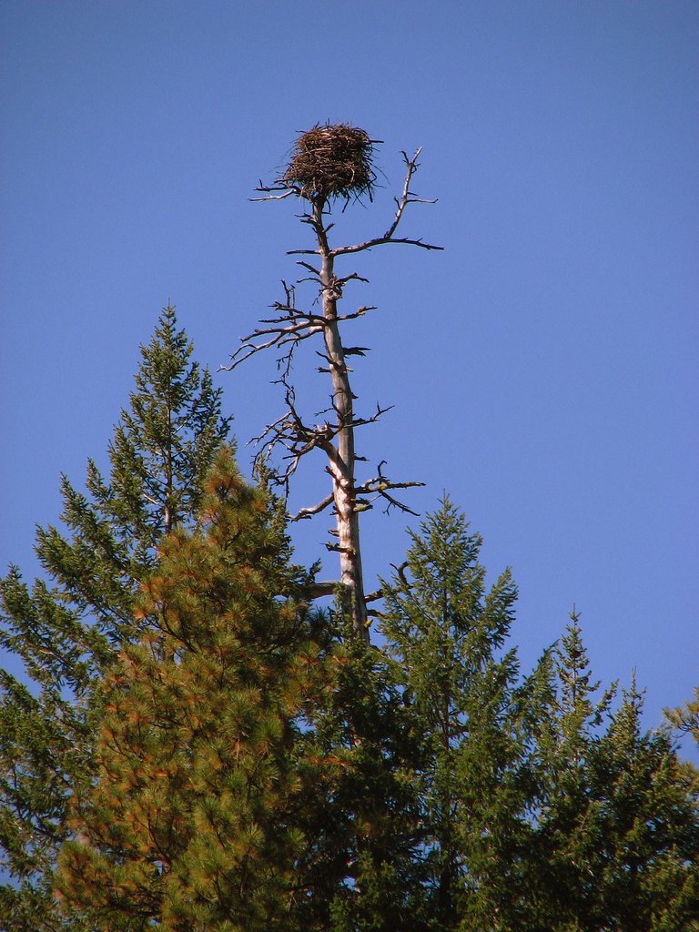 Photo: DBerry2006, CC BY 2.0 (via Flickr)
Green Ridge
~14 min drive
23.56-mile out-and-back trail in Oregon with 803 ft gain.
 Photo: U.S. Forest Service- Pacific Northwest Region, Public domain (via Wikimedia Commons)
Hole in the Wall Overlook Trail
~19 min drive
2.78-mile out-and-back hike in Oregon with 886 ft of elevation gain.
HIKE
Table Lake Trail #4003
~20 min drive
9.88-mile out-and-back trail in Oregon with 2,945 ft elevation gain and loss.
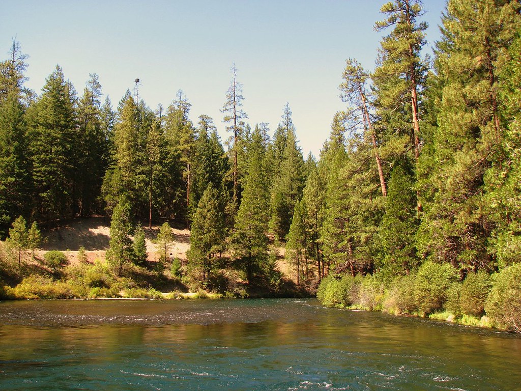 Photo: DBerry2006, CC BY 2.0 (via Flickr)
West Metolius River Trail
~14 min drive
5.2-mile out-and-back hike on West Metolius River Trail in Oregon.
 Photo: Nwcamera1, CC BY-SA 3.0 (via Wikimedia Commons)
Climber's Trail
~21 min drive
Short out-and-back climb with steady elevation gain near Oregon.
 Photo: Ken Lund from Reno, Nevada, USA, CC BY-SA 2.0 (via Wikimedia Commons)
Beach Trail
~20 min drive
Out-and-back coastal trail featuring sandy beaches and ocean views.
HIKE
CABOT LAKE
~17 min drive
17.44-mile out-and-back trail at CABOT LAKE in Oregon with 3,946 ft gain.
Photo: U.S. Forest Service- Pacific Northwest Region, Public domain (via Wikimedia Commons)Table Lake Cutoff
~19 min drive
2.86-mile out-and-back trail in Oregon with 1,408 ft elevation gain
HIKE
BRUSH CREEK
~23 min drive
7.1-mile out-and-back trail in Oregon with 2,811 ft elevation gain and loss.
