Perry South
Campground
Campground · 0.5 mi from the trail
Closure in the area
There's a closure order in Deschutes National Forest. It doesn't name Perry South Boating/Picnic, so check the source for the area it covers.
West Bend Area Trail Closures
Agency closure covering Deschutes National Forest · USFS · Deschutes National Forest
Camping & Campfire Restrictions Forest Order
Agency alert covering Deschutes National Forest · Order 06-01-26-01 · USFS · Deschutes National Forest
Cave Resource Protection Forest Order
Agency alert covering Deschutes National Forest · Order 06-01-26-02 · USFS · Deschutes National Forest
Deschutes 14-Day Camping Order
Agency alert covering Deschutes National Forest · Order 06-01-25-01 · USFS · Deschutes National Forest
Wilderness Permit, Camping & Fire Restrictions Order
Agency alert covering Deschutes National Forest · Order 06-01-24-01 · USFS · Deschutes National Forest
As of · Source: USFS · Deschutes National Forest. Agencies don't list every closure — check before you go.
Perry South Boating/Picnic is a boat launch and picnic site in the Sisters Ranger District of Deschutes National Forest in Oregon, about 12 miles from the town of Culver. It is a simple stop for getting a boat onto the water or having a picnic, and it has vault toilets as its only facility. Summer is the warmest stretch for a visit. Typical averages from the nearby Pelton Dam weather station show July highs around 92°F with lows near 53°F, while September cools to highs around 82°F with only a few wet days. Perry South campground sits about half a mile away, and Monty Campground is roughly 3 miles off. For time on foot, Beach Trail is about 4 miles away and Jackson Trail about 5 miles.
Perry South
Campground
Sisters Museum
Museum
Places © OpenStreetMap contributors, Places © Overture Maps Foundation
More in Sisters Monty CampgroundCampingPhoto: Recreation.gov (RIDB) / public domain2.9 mi
 Beach TrailHikingPhoto: Ken Lund from Reno, Nevada, USA, CC BY-SA 2.0 (via Wikimedia Commons)3.7 mi
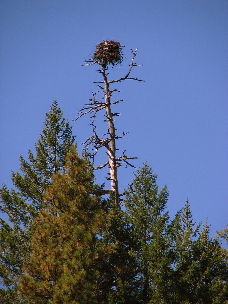 Green RidgeHikingPhoto: DBerry2006, CC BY 2.0 (via Flickr)7.8 mi
Source: Roamze catalog (indexable pages within 10 miles, PostGIS distance)
 Whychus CreekCanoeing · ~34 min drivePhoto: Ian Sane, CC BY 2.0 (via Wikimedia Commons)
 Clackamas RiverCanoeing · ~51 min drivePhoto: U.S. Forest Service- Pacific Northwest Region, Public domain (via Wikimedia Commons)
 Trout CreekCanoeing · ~60 min drivePhoto: Demis Map Server, Little Mountain 5, CC BY-SA 3.0 (via Wikimedia Commons)
 North Fork Breitenbush RiverCanoeing · ~44 min drivePhoto: EncMstr, CC BY-SA 3.0 (via Wikimedia Commons)
 McKenzie RiverCanoeing · ~57 min drivePhoto: Bob Heims, U.S. Army Corps of Engineers, Public domain (via Wikimedia Commons)
Best months: April–June and September–October. Best months have typical highs of 55–85 °F, lows of 30 °F or warmer (32 °F where the station doesn't record snow), at most one snowy day and no more than 12 wet days.
Jan
43° / 27°
12 wet
Feb
49° / 28°
10 wet
Mar
57° / 31°
9 wet
Apr
64° / 35°
8 wet
May
73° / 43°
7 wet
Jun
81° / 48°
5 wet
Jul
92° / 53°
3 wet
Aug
91° / 53°
2 wet
Sep
82° / 46°
3 wet
Oct
67° / 37°
7 wet
Nov
51° / 31°
10 wet
Dec
42° / 27°
12 wet
Typical high / low (°F) and days with rain or snow, 1991–2020. Measured at Pelton Dam, OR, 13.8 mi away at 1,410 ft. We don't have this place's elevation, so higher spots nearby can run cooler. This station doesn't record snowfall. Source: NOAA NCEI U.S. Climate Normals 1991–2020.
