Cabot Lake
- 8.7 mi
- round trip
- 3,946 ft
- climb
- 6,023 ft
- high point
- Out and back
- route
Cabot Lake is an out-and-back hike in Oregon's Mount Jefferson Wilderness, within the Sisters Ranger District of Deschutes National Forest. The Forest Service manages the land, and the route starts at about 4,610 feet, rising to a high point of 6,023 feet. The total climb is 3,946 feet, and the trail is about 17.4 miles long, so plan on a full day. The route is rated expert, and the climb is steep. The steepest stretch comes at about 3.9 miles in, with a grade of 27 percent. The trail is a long, high route, and the estimated time is about 8 hours. The Cabot Lake Trail #4003 lies just 0.2 miles away, and the Carl Lake Trail #4003 is about 1.3 miles off. For an overnight base, Sheep Springs Horse Camp is about 2.8 miles away, and Jack Creek Campground is about 5.1 miles away.
- Cabot Lake Trail #4003Hiking0.2 mi
- Carl Lake Trail #4003Hiking1.3 mi
- Table Lake Trail #4003Hiking2.6 mi
- Sheep Springs Horse CampCamping2.8 mi
- Canyon CreekCanoeing4.9 mi
 Jack Creek CampgroundCampingPhoto: Recreation.gov (RIDB) / public domain5.1 mi
- Metolius RiverRiver fishing6.1 mi
- Shepard's TowerRock climbing7.9 mi
Source: Roamze catalog (indexable pages within 10 miles, PostGIS distance)
 Table Lake CutoffHiking · ~7 min drivePhoto: U.S. Forest Service- Pacific Northwest Region, Public domain (via Wikimedia Commons)
- Hole in the Wall Overlook TrailHiking · ~7 min drivePhoto: U.S. Forest Service- Pacific Northwest Region, Public domain (via Wikimedia Commons)
 Minto PassHiking · ~11 min drivePhoto: Forest Service Pacific Northwest Region, Public Domain Mark (via Flickr)
- Table Lake Trail #4003Hiking · ~4 min drive
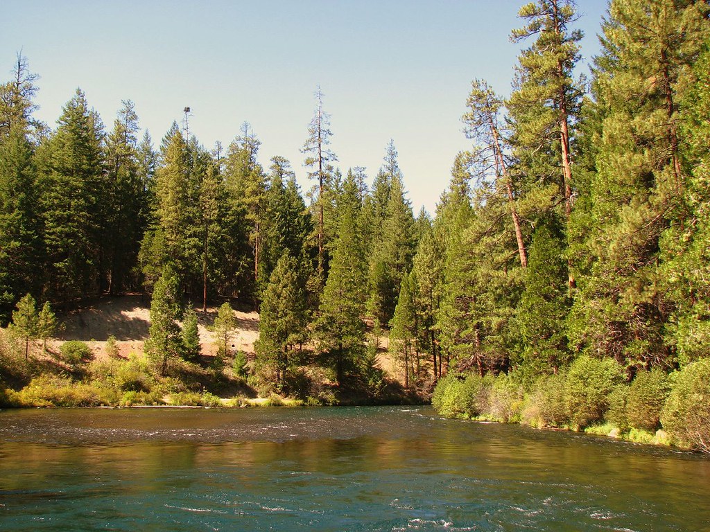 West Metolius River TrailHiking · ~10 min drivePhoto: DBerry2006, CC BY 2.0 (via Flickr)
- Old Hunts CoveHiking · ~10 min drivePhoto: U.S. Forest Service- Pacific Northwest Region, Public domain (via Wikimedia Commons)
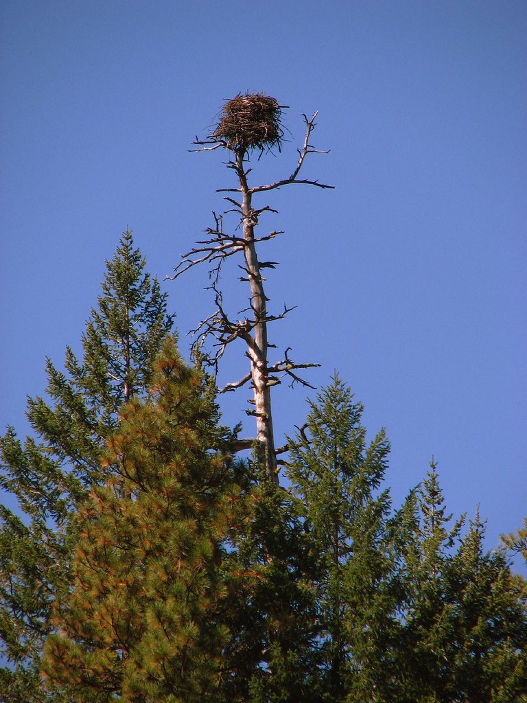 Green RidgeHiking · ~12 min drivePhoto: DBerry2006, CC BY 2.0 (via Flickr)
- Marion Lake Trail 3436Hiking · ~11 min drivePhoto: Forest Service Pacific Northwest Region, Public Domain Mark (via Flickr)
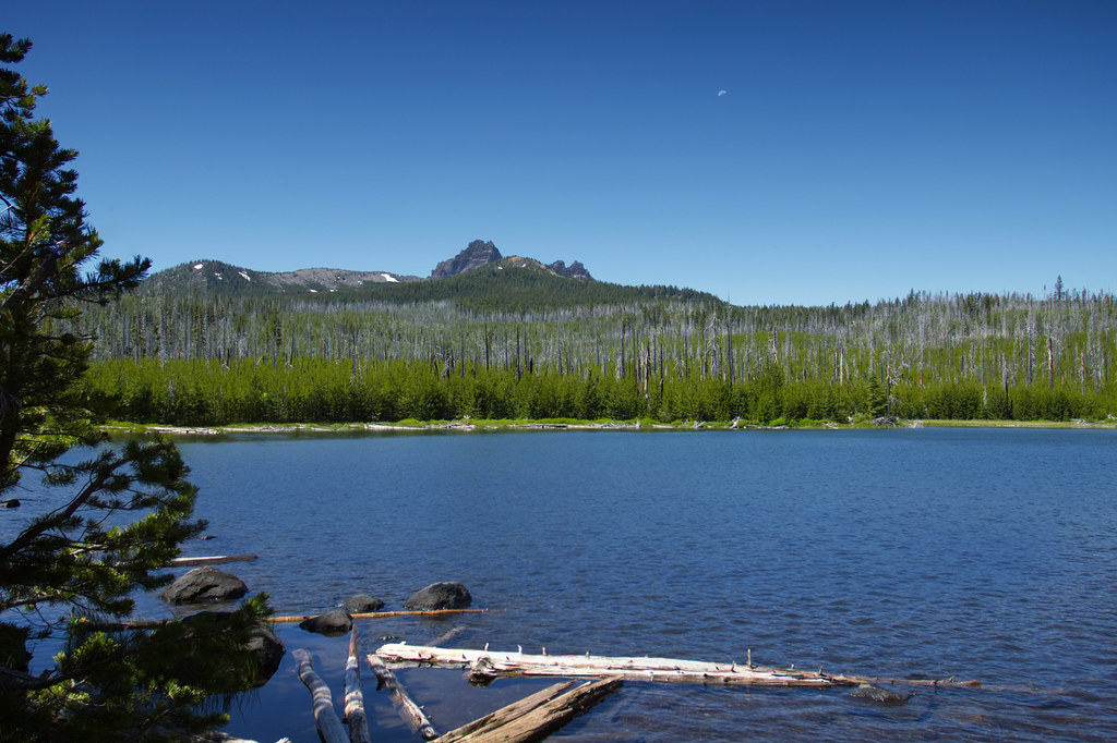 Canyon Creek Meadow Loop TrailHiking · ~11 min drivePhoto: Bonnie Moreland (free images), Public Domain Mark (via Flickr)
- Cabot Lake Trail #4003Hiking · Next door
