Lower Bridge Campground
Campground
The next 4 weekends are full on Recreation.gov
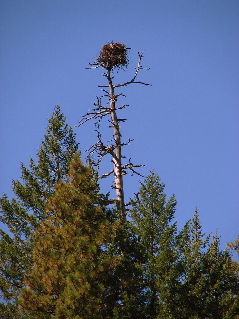 Photo: DBerry2006, CC BY 2.0 (via Flickr)
Closure in the area
There's a closure order in Deschutes National Forest. It doesn't name Green Ridge, so check the source for the area it covers.
West Bend Area Trail Closures
Agency closure covering Deschutes National Forest · USFS · Deschutes National Forest
Camping & Campfire Restrictions Forest Order
Agency alert covering Deschutes National Forest · Order 06-01-26-01 · USFS · Deschutes National Forest
Cave Resource Protection Forest Order
Agency alert covering Deschutes National Forest · Order 06-01-26-02 · USFS · Deschutes National Forest
Deschutes 14-Day Camping Order
Agency alert covering Deschutes National Forest · Order 06-01-25-01 · USFS · Deschutes National Forest
Wilderness Permit, Camping & Fire Restrictions Order
Agency alert covering Deschutes National Forest · Order 06-01-24-01 · USFS · Deschutes National Forest
As of · Source: USFS · Deschutes National Forest. Agencies don't list every closure — check before you go.
Green Ridge is a hard hike in the Sisters Ranger District of Oregon's Deschutes National Forest, managed by the Forest Service. The route is an out-and-back of about 23.6 miles, with a total elevation gain of 3,076 feet. The trail starts at about 4,607 feet and climbs to a high point of 4,853 feet, with the steepest stretch around mile 10, where the grade reaches about 11%. Summer is the most comfortable time to go. Typical averages from a nearby weather station at Santiam Junction, which sits roughly 1,100 feet lower, show July and August highs around 76°F with lows near 42°F. Winter is cold, with January highs around 38°F and lows near 24°F. The trail is open year-round, and the trip is estimated to take about 9.5 hours. Bikes and horses are both allowed, and the surface is natural. Lower Bridge Campground and the West Metolius River Trail are both about a mile away, and Pioneer Ford Campground is about 1.2 miles off. The Metolius River, a fishing spot, is about 2.2 miles away.
Lower Bridge Campground
Campground
HOLA
Restaurant
Kiwanis club
Attraction
Places © OpenStreetMap contributors
More in SistersNot on Roamze yet. Their page has how to reach them.
Best months: May–October. Best months have typical highs of 55–85 °F, lows of 30 °F or warmer (32 °F where the station doesn't record snow), at most one snowy day and no more than 12 wet days.
Jan
38° / 24°
Feb
41° / 24°
Mar
44° / 26°
Apr
49° / 29°
May
58° / 35°
Jun
65° / 38°
Jul
76° / 42°
Aug
76° / 42°
Sep
69° / 39°
Oct
56° / 33°
Nov
42° / 28°
Dec
36° / 23°
Typical high / low (°F) and days with rain or snow, 1991–2020. Measured at Santiam Junction, OR, 18.9 mi away at 3,750 ft. The station sits about 1,100 ft lower than this place, so expect it a little cooler here. This station doesn't record snowfall. Source: NOAA NCEI U.S. Climate Normals 1991–2020.
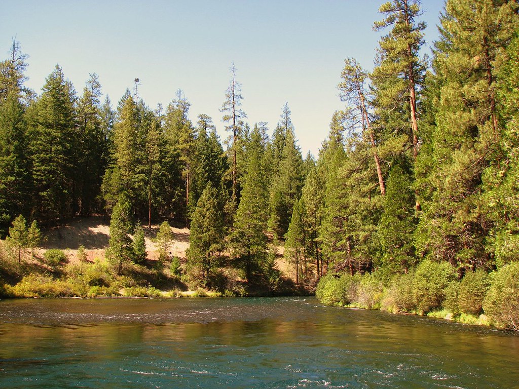 Photo: DBerry2006, CC BY 2.0 (via Flickr)
West Metolius River Trail
~2 min drive
5.2-mile out-and-back hike on West Metolius River Trail in Oregon.
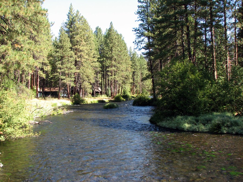 Photo: DBerry2006, CC BY 2.0 (via Flickr)
West Metolius River Trail
~12 min drive
Scenic out-and-back following the pristine Metolius River through Cascade forest.
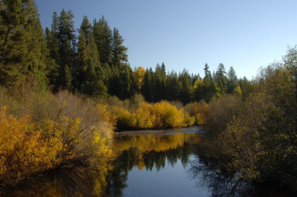 Photo: Forest Service Pacific Northwest Region, Public Domain Mark (via Flickr)
West Metolius River Trail
~14 min drive
1.14-mile out-and-back trail on the West Metolius River in Oregon
HIKE
CABOT LAKE
~12 min drive
17.44-mile out-and-back trail at CABOT LAKE in Oregon with 3,946 ft gain.
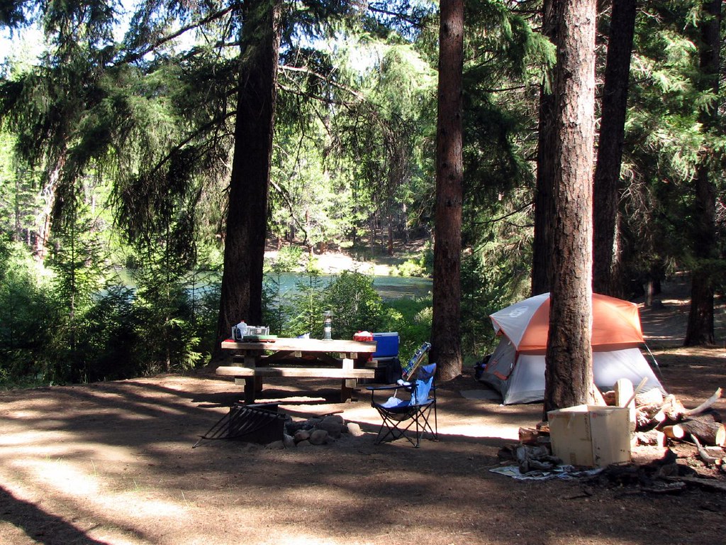 Photo: DBerry2006, CC BY 2.0 (via Flickr)
Jefferson Creek Trailhead
~4 min drive
5.16-mile out-and-back trail in Oregon with 650 ft elevation gain
 Photo: Art Anderson, CC BY-SA 3.0 (via Wikimedia Commons)
East Metolius River Trail
~14 min drive
19-mile out-and-back trail in Oregon with 723 ft gain.
 Photo: dogplusplus, CC BY 2.0 (via Flickr)
Larch Trails
~15 min drive
1.93-mile loop in Oregon with 127 ft elevation gain and loss.
HIKE
Table Lake Trail #4003
~16 min drive
9.88-mile out-and-back trail in Oregon with 2,945 ft elevation gain and loss.
 Photo: U.S. Forest Service- Pacific Northwest Region, Public domain (via Wikimedia Commons)
Table Lake Cutoff
~18 min drive
2.86-mile out-and-back trail in Oregon with 1,408 ft elevation gain
Photo: Art Anderson, CC BY-SA 3.0 (via Wikimedia Commons)Upper Butte Loops
~17 min drive
18.53-mile out-and-back trail in Oregon with 1,559 ft gain.
