Sawmill Trail
- 0.6 mi
- round trip
- 393 ft
- climb
- 4,271 ft
- high point
- Out and back
- route
- May–Jun, Aug–Sep
- best months
Sawmill Trail is a short, easy hike in southern Oregon, about 1.3 miles from Klamath Falls. The trail is an out-and-back, roughly 1.2 miles long, with a one-way climb of about 107 feet from a starting point near 4,260 feet to a high point around 4,270 feet. The steepest stretch comes at about half a mile in, with a grade of about 11 percent. Summer is the most comfortable time to go. Typical averages from a nearby weather station show July highs around 86°F with only about two wet days, while winter highs sit in the low 40s and wet days are more frequent. Several other short hikes start close by, including Sidewinder and Autobahn, each about 0.1 mile away, and Hayride and Blueberry, each about 0.2 mile away.
Local outfitters
- Yamsi Fly Fishing1 mi away
- Crater Lake Zipline and Kayak Tours1 mi away
Not on Roamze yet. Their page has how to reach them.
Best time to go · May–Jun, Aug–Sep
Best time to visit Sawmill Trail
Best months: May–June and August–September. Best months have typical highs of 55–85 °F, lows of 30 °F or warmer (32 °F where the station doesn't record snow), at most one snowy day and no more than 12 wet days.
Jan
41° / 21°
11 wet
Feb
46° / 23°
9 wet
Mar
52° / 27°
11 wet
Apr
58° / 29°
9 wet
May
67° / 36°
8 wet
Jun
76° / 41°
5 wet
Jul
86° / 48°
2 wet
Aug
85° / 46°
2 wet
Sep
77° / 39°
3 wet
Oct
64° / 31°
6 wet
Nov
49° / 25°
10 wet
Dec
40° / 21°
12 wet
Typical high / low (°F) and days with rain or snow, 1991–2020. Measured at Klamath Falls Intl Ap, OR, 7.1 mi away at 4,084 ft. This station doesn't record snowfall. Source: NOAA NCEI U.S. Climate Normals 1991–2020.
Keep exploring — more trails worth the drive
 Photo: ex_magician, CC BY 2.0 (via Flickr)
Hayride
Next door
0.62-mile out-and-back trail in Oregon with 199 ft gain.
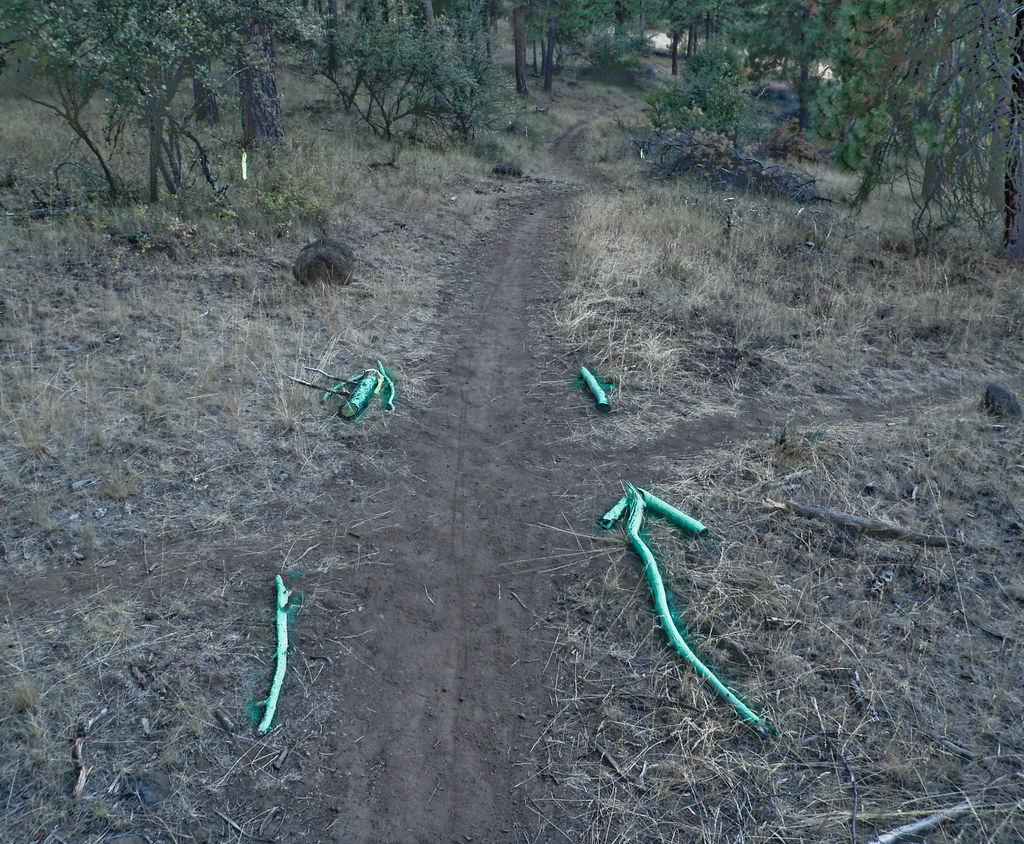 Photo: ex_magician, CC BY 2.0 (via Flickr)
Klamath Ridgeview
~1 min drive
Short out-and-back ridge hike with expansive Klamath region views.
HIKE
OC&E Woods Line State Trail
~17 min drive
31.6-mile out-and-back trail in Oregon with 1,018 ft elevation gain and loss.
Photo: ex_magician, CC BY 2.0 (via Flickr)Powerline
Next door
1.19-mile out-and-back trail in Oregon with 445 ft of elevation gain.
Photo: ex_magician, CC BY 2.0 (via Flickr)Enduro
~1 min drive
0.77-mile out-and-back trail in Oregon with 541 ft gain and 787 ft loss.
 Photo: The Wandering God, CC BY-SA 2.0 (via Flickr)
Up and Over
Next door
0.31-mile out-and-back trail in Oregon with 66 ft of elevation gain.
Photo: ex_magician, CC BY 2.0 (via Flickr)Tank
~1 min drive
0.88-mile out-and-back trail in Oregon with 691 ft gain and 619 ft loss.
Photo: The Wandering God, CC BY-SA 2.0 (via Flickr)Express Lane
Next door
0.35-mile out-and-back trail in Oregon with 365 ft elevation gain.
Photo: The Wandering God, CC BY-SA 2.0 (via Flickr)Big Sky
Next door
0.73-mile out-and-back trail in Oregon with 150 ft gain.
Photo: ex_magician, CC BY 2.0 (via Flickr)Five Gallon
Next door
1.21-mile out-and-back trail in Oregon with 268 ft gain and 489 ft loss.

Map and trail data © OpenStreetMap contributors
