Santiam Wagon Road West
- 9.1 mi
- round trip
- 1,607 ft
- climb
- 3,455 ft
- high point
- Out and back
- route
- May–Oct
- best months
Is Santiam Wagon Road West open right now?
Closure in the area
There's a closure order in Willamette National Forest. It doesn't name Santiam Wagon Road West, so check the source for the area it covers.
Cedar Creek Fire Closure
Agency closure covering Willamette National Forest · Order 06-18-10-26-04 · USFS · Willamette National Forest
FIRE CLOSURES: Current wildfire closures on the Willamette National Forest
Agency alert covering Willamette National Forest · USFS · Willamette National Forest
As of · Source: USFS · Willamette National Forest. Agencies don't list every closure — check before you go.
Santiam Wagon Road West is a 9.1-mile out-and-back hike in the Sweet Home Ranger District of the Willamette National Forest in Oregon. The trail is rated hard, with a total elevation gain of 469 feet, and it is a natural-surface route that allows both horses and bikes. The most comfortable stretch for a visit is summer. Typical averages from the nearby Santiam Junction weather station, at a similar elevation, run to highs around 76°F in July and August, with lows near 42°F. Winter is cold, with January highs around 38°F and lows near 24°F. The trail sits close to several other destinations. Lost Prairie campground is about 0.4 miles away, and the Echo Creek Ski Tour and Hackleman O.G.Grove are both within a mile. Cougar Creek, a canoeing spot, is about 3 miles off.
Local outfitters
- Horse Creek Lodge & Outfitters16 mi away
- Patio RV Park17 mi away
Not on Roamze yet. Their page has how to reach them.
- ECHO CREEK SKI TOURHiking0.3 mi
- Lost PrairieCamping0.4 mi
- Hackleman O.G.GroveHiking0.6 mi
- Cougar CreekCanoeing3 mi
- Fish Lake Remount Depot CabinsCamping3.7 mi
- Sevenmile CreekCanoeing5.2 mi
- South East FaceRock climbing7.8 mi
- Wolf RockRock climbing7.8 mi
Source: Roamze catalog (indexable pages within 10 miles, PostGIS distance)
 Tombstone NatureHiking · ~5 min drivePhoto: AndreyZharkikh, CC BY 2.0 (via Flickr)
 Iron MountainHiking · ~6 min drivePhoto: AndreyZharkikh, CC BY 2.0 (via Flickr)
 Cone PeakHiking · ~6 min drivePhoto: AndreyZharkikh, CC BY 2.0 (via Flickr)
- Iron Mountain-Cone Peak LoopHiking · ~5 min drivePhoto: AndreyZharkikh, CC BY 2.0 (via Flickr)
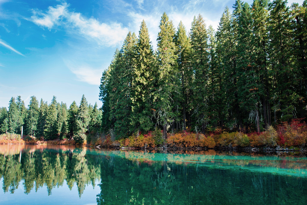 Santiam Wagon Road EastHiking · ~7 min drivePhoto: Bonnie Moreland (free images), Public Domain Mark (via Flickr)
- ECHO CREEK SKI TOURHiking · Next door
 LAVA LAKE ACCESS EASTHiking · ~10 min drivePhoto: Forest Service Pacific Northwest Region, Public Domain Mark (via Flickr)
- Clear LakeHiking · ~7 min drivePhoto: Bonnie Moreland (free images), Public Domain Mark (via Flickr)
- Prairie View LoopHiking · ~2 min drive
- SOUTH SPRINGS LOOPHiking · ~10 min drivePhoto: Forest Service Pacific Northwest Region, Public Domain Mark (via Flickr)
Best time to visit Santiam Wagon Road West
Best months: May–October. Best months have typical highs of 55–85 °F, lows of 30 °F or warmer (32 °F where the station doesn't record snow), at most one snowy day and no more than 12 wet days.
Jan
38° / 24°
Feb
41° / 24°
Mar
44° / 26°
Apr
49° / 29°
May
58° / 35°
Jun
65° / 38°
Jul
76° / 42°
Aug
76° / 42°
Sep
69° / 39°
Oct
56° / 33°
Nov
42° / 28°
Dec
36° / 23°
Typical high / low (°F) and days with rain or snow, 1991–2020. Measured at Santiam Junction, OR, 7.2 mi away at 3,750 ft. This station doesn't record snowfall. Source: NOAA NCEI U.S. Climate Normals 1991–2020.
