Horse Creek Lodge & Outfitters
Hiking business nearby (~15 mi away) — hasn't claimed their Roamze page yet
0.68-mile out-and-back trail in Oregon with 217 ft of elevation gain.
 Photo: AndreyZharkikh, CC BY 2.0 (via Flickr)
Closure in the area
There's a closure order in Willamette National Forest. It doesn't name Tombstone Nature, so check the source for the area it covers.
Cedar Creek Fire Closure
Agency closure covering Willamette National Forest · Order 06-18-10-26-04 · USFS · Willamette National Forest
FIRE CLOSURES: Current wildfire closures on the Willamette National Forest
Agency alert covering Willamette National Forest · USFS · Willamette National Forest
As of · Source: USFS · Willamette National Forest. Agencies don't list every closure — check before you go.
Best months: May–October. Best months have typical highs of 55–85 °F, lows of 30 °F or warmer (32 °F where the station doesn't record snow), at most one snowy day and no more than 12 wet days.
Jan
38° / 24°
Feb
41° / 24°
Mar
44° / 26°
Apr
49° / 29°
May
58° / 35°
Jun
65° / 38°
Jul
76° / 42°
Aug
76° / 42°
Sep
69° / 39°
Oct
56° / 33°
Nov
42° / 28°
Dec
36° / 23°
Typical high / low (°F) and days with rain or snow, 1991–2020. Measured at Santiam Junction, OR, 10.2 mi away at 3,750 ft. This station doesn't record snowfall. Source: NOAA NCEI U.S. Climate Normals 1991–2020.
Tombstone Nature is a short, easy hike in the Sweet Home Ranger District of the Willamette National Forest in Oregon, managed by the Forest Service. The trail is 1.4 miles long and out-and-back, with a round-trip elevation gain of 425 feet. The route starts and ends at about 4,089 feet and reaches a high point of 4,231 feet. The trail is rated easy, and the climb is gentle, though it does get steeper near the 0.3-mile mark, with a grade of about 13%. Bikes and horses are both allowed, which makes it a practical choice for riders and pack animals. Summer is the most comfortable time to visit. Typical July and August highs are about 76°F with lows around 42°F, based on averages from a nearby weather station at Santiam Junction, which sits roughly 480 feet lower than the trail. Winter is cold, with typical January highs near 38°F and lows around 24°F. The hike sits right beside the Iron Mountain-Cone Peak Loop and the Santiam Wagon Road Trail (#3413), both about 0.1 mile away. For paddling, Sevenmile Creek is 2.5 miles off, and Lost Prairie campground is 3.3 miles away.
 Photo: AndreyZharkikh, CC BY 2.0 (via Flickr)
Iron Mountain
~1 min drive
Short out-and-back climb to an Oregon summit with panoramic views.
 Photo: AndreyZharkikh, CC BY 2.0 (via Flickr)
Cone Peak
~1 min drive
6.60-mile out-and-back trail in Oregon with 939 ft gain
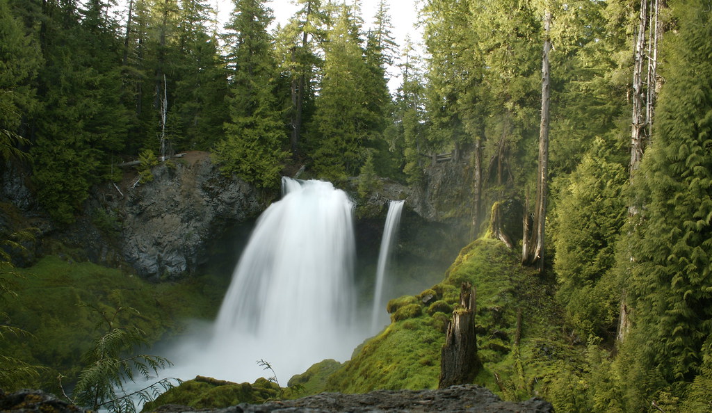 Photo: acaben, CC BY-SA 2.0 (via Flickr)
Waterfalls
~13 min drive
1.24-mile out-and-back trail in Oregon with 3,047 ft elevation gain.
 Photo: Bonnie Moreland (free images), Public Domain Mark (via Flickr)
ISAAC NICKERSON LOOP
~12 min drive
6.04-mile out-and-back out-and-back in Oregon with 1,993 ft elevation gain
Browder Ridge
~3 min drive
7.60-mile out-and-back trail in Oregon with 2,309 ft elevation gain.
 Photo: Forest Service Pacific Northwest Region, Public Domain Mark (via Flickr)
LAVA LAKE ACCESS EAST
~14 min drive
3.58-mile out-and-back trail to Lava Lake with 477 ft elevation gain
Photo: Bonnie Moreland (free images), Public Domain Mark (via Flickr)PRAIRIE VIEW LOOP
~12 min drive
5.40-mile loop trail in Oregon with 822 ft elevation gain.
Prairie View Loop
~7 min drive
11.44-mile out-and-back trail in Oregon with 1,528 ft elevation gain/loss
CIVIL TRAIL
~2 min drive
2.36-mile out-and-back trail in Oregon with 763 ft elevation gain.
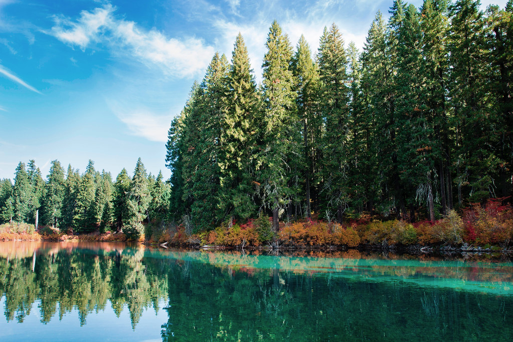 Photo: Bonnie Moreland (free images), Public Domain Mark (via Flickr)
Santiam Wagon Road East
~12 min drive
5.80-mile out-and-back trail in Oregon with 4,484 ft gain and 3,517 ft loss.
Also worth it near here
Outfitters and businesses. They haven’t set up their Roamze page yet.
Horse Creek Lodge & Outfitters
Hiking business nearby (~15 mi away) — hasn't claimed their Roamze page yet
Patio RV Park
Hiking business nearby (~15 mi away) — hasn't claimed their Roamze page yet
Big Lake Youth Camp
Hiking business nearby (~30 mi away) — hasn't claimed their Roamze page yet
