Iron Mountain-Cone Peak Loop
 Photo: AndreyZharkikh, CC BY 2.0 (via Flickr)
At a glance
The Iron Mountain-Cone Peak Loop is a 5.1-mile loop hike in the Sweet Home Ranger District of the Willamette National Forest in Oregon, managed by the Forest Service. The trail starts at about 4,292 feet and climbs to a high point of 5,452 feet, with a total elevation gain of 2,425 feet. The route is rated easy, and the loop shape makes it a straightforward out-and-back. The trail passes close to Tombstone Nature and the Santiam Wagon Road Trail (#3413), both about 0.1 mile away. For an overnight stay, Lost Prairie campground sits about 3.3 miles off, and House Rock Campground is about 5.2 miles away.
- one way
- 5.1 mi
- climb
- 2,425 ft
- high point
- 5,452 ft
- route
- Point to point
- time
- About 3.5 hours
Where it is: Sweet Home Ranger District · Willamette National Forest
Been here? Tell people how it was.
- Tombstone NatureHikingPhoto: AndreyZharkikh, CC BY 2.0 (via Flickr)0.1 mi
- Santiam Wagon Road Trail (#3413)Mountain biking0.1 mi
- Sevenmile CreekCanoeing2.5 mi
- Cougar CreekCanoeing3.1 mi
- Lost PrairieCamping3.3 mi
- House Rock CampgroundCamping5.2 mi
- Wolf RockRock climbing6.4 mi
- South East FaceRock climbing6.5 mi
 Iron MountainHikingPhoto: AndreyZharkikh, CC BY 2.0 (via Flickr)Next door
 Cone PeakHikingPhoto: AndreyZharkikh, CC BY 2.0 (via Flickr)~1 min drive
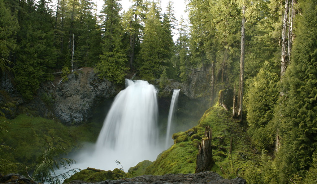 WaterfallsHikingPhoto: acaben, CC BY-SA 2.0 (via Flickr)~13 min drive
 ISAAC NICKERSON LOOPHikingPhoto: Bonnie Moreland (free images), Public Domain Mark (via Flickr)~12 min drive
- Browder RidgeHiking~3 min drive
 LAVA LAKE ACCESS EASTHikingPhoto: Forest Service Pacific Northwest Region, Public Domain Mark (via Flickr)~14 min drive
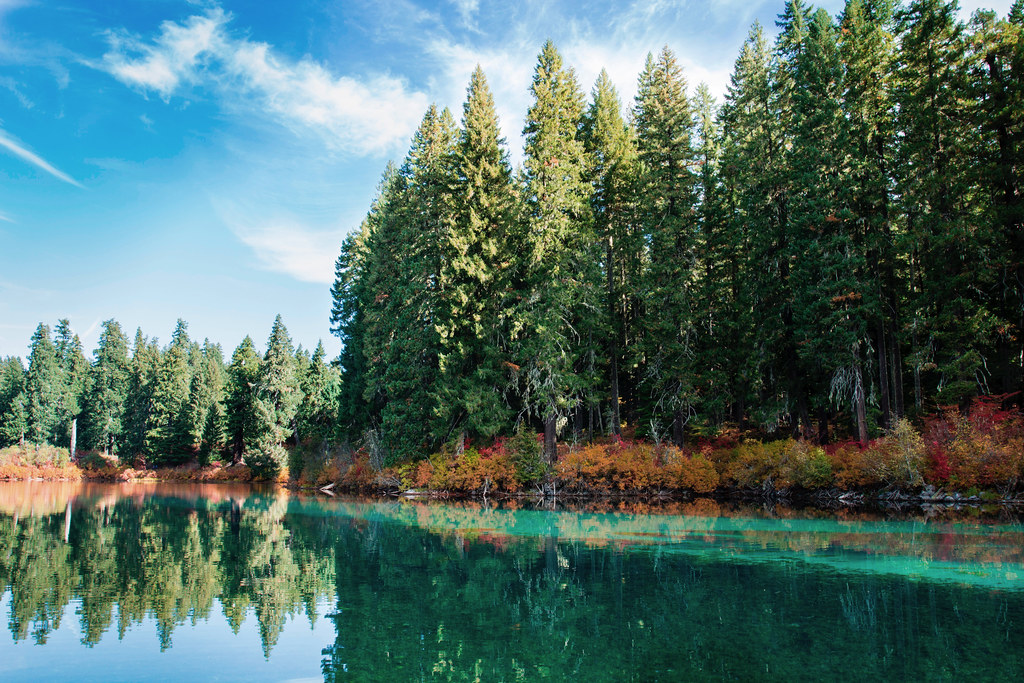 Santiam Wagon Road EastHikingPhoto: Bonnie Moreland (free images), Public Domain Mark (via Flickr)~12 min drive
- ECHO CREEK SKI TOURHiking~5 min drive
- CIVIL TRAILHiking~2 min drive
- PRAIRIE VIEW LOOPHikingPhoto: Bonnie Moreland (free images), Public Domain Mark (via Flickr)~12 min drive
Conditions and forecast on Iron Mountain
Daily highs and lows, wind and the chance of precipitation at the summit and route start for the next 7 days, from the Open-Meteo model.
Ask about this place
Questions about Iron Mountain-Cone Peak Loop: conditions, access, timing. Answers say when something isn't known.
Other routes up Iron Mountain
Questions about this route
How long is the Iron Mountain-Cone Peak Loop on Iron Mountain?
About 5.1 mi.
How much elevation gain is on the Iron Mountain-Cone Peak Loop?
About 2,425 ft of climbing round trip.
How hard is the Iron Mountain-Cone Peak Loop?
It is rated easy.
How long does the Iron Mountain-Cone Peak Loop take?
About 3.5 hours round trip.
How many routes go up Iron Mountain?
2: Iron Mountain and Iron Mountain-Cone Peak Loop.
Map and trail data © OpenStreetMap contributors
