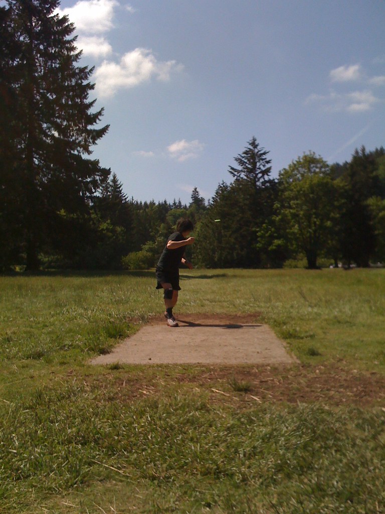
Kingfisher Group Camp
Campground
Campground · 0.3 mi from the trail
Riverbend Bike Trail is an easy, short out-and-back route in Milo McIver State Park in Oregon, set on city-managed land. The trail is about 1.2 miles long, and the round trip adds up to roughly 0.6 miles, with an elevation gain of about 98 feet and a loss of about the same. The highest point on the route is about 335 feet, and the steepest stretch comes around 0.54 miles in, with a grade of about 6 percent. Summer is the most comfortable time to go. At a nearby weather station in Estacada, typical July highs average about 82°F with only about five wet days, while winter months bring highs in the upper 40s and rain on 20 or more days. The station sits about 180 feet lower than the trail, so temperatures on the route run a little cooler. The trip takes about half an hour, and the trail makes an easy add-on to other outings in the park. Vortex Trail lies about 0.3 miles away, Riverbend Trail about 0.6 miles, and Maple Ridge Trail about 0.7 miles. For paddling, Clear Creek is about 2.5 miles off.
Kingfisher Group Camp
Campground
 If it rainsIan Poellet, CC BY-SA 3.0 · Wikimedia Commons
Places © OpenStreetMap contributors, Places © Overture Maps Foundation · Photos: Ian Poellet, CC BY-SA 3.0 (commons)
More in Mount Hood VillagesNot on Roamze yet. Their page has how to reach them.
Source: Roamze catalog (indexable pages within 10 miles, PostGIS distance)
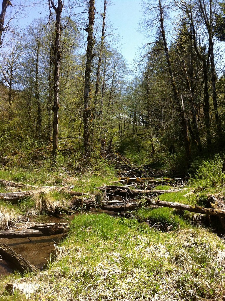 Tickle Creek TrailHiking · ~13 min drivePhoto: Francis Storr, CC BY-SA 2.0 (via Flickr)
 HillockburnHiking · ~18 min drivePhoto: Forest Service Pacific Northwest Region, Public Domain Mark (via Flickr)
 Ladee 801Hiking · ~18 min drivePhoto: Forest Service Pacific Northwest Region, Public Domain Mark (via Flickr)
 Jim Slagle Loop TrailHiking · ~14 min drivePhoto: Forest Service Pacific Northwest Region, Public Domain Mark (via Flickr)Memaloose and Clackamas FallsHiking · ~19 min drivePhoto: Forest Service Pacific Northwest Region, Public Domain Mark (via Flickr)
 Ladee 802Hiking · ~16 min drivePhoto: OregonDOT, CC BY 2.0 (via Flickr)Ladee 803Hiking · ~17 min drivePhoto: OregonDOT, CC BY 2.0 (via Flickr)
 Ladee 804Hiking · ~21 min drivePhoto: Forest Service Pacific Northwest Region, Public Domain Mark (via Flickr)Ladee 801AHiking · ~19 min drivePhoto: Forest Service Pacific Northwest Region, Public Domain Mark (via Flickr)
Best months: June–September. Best months have typical highs of 55–85 °F, lows of 30 °F or warmer (32 °F where the station doesn't record snow), at most one snowy day and no more than 12 wet days.
Jan
49° / 35°
20 wet
Feb
53° / 36°
18 wet
Mar
57° / 38°
20 wet
Apr
62° / 41°
18 wet
May
69° / 46°
15 wet
Jun
73° / 51°
11 wet
Jul
82° / 54°
5 wet
Aug
83° / 54°
4 wet
Sep
77° / 50°
9 wet
Oct
65° / 45°
15 wet
Nov
54° / 39°
19 wet
Dec
48° / 35°
21 wet
Typical high / low (°F) and days with rain or snow, 1991–2020. Measured at Estacada 2 Se, OR, 3.5 mi away at 514 ft. Source: NOAA NCEI U.S. Climate Normals 1991–2020.
Map and trail data © OpenStreetMap contributors