Shining Wall
- 17 routes
- 5.8 – 5.11d
- Trad · Sport
- Mar–Oct
- best months
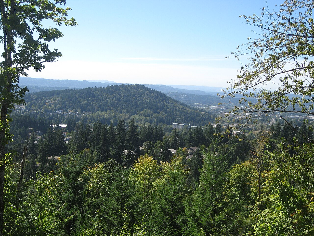
Shining Wall is a climbing area on county land in Oregon, part of Clackamas County's facility or land holdings. It sits among several other climbing areas, including Main Wall, Hardscrabble Wall and Fourth Class Wall, all about 0.1 mile away. The land is managed by the county, and the area is set up for climbers rather than hikers or riders, with routes ranging from trad to sport and grades from 5.8 up to 5.11d. Summer is the most comfortable time to climb. Typical averages from a nearby weather station in Oregon City show July and August highs around 84°F with lows near 57°F, while winter highs stay in the 40s. The climbing here is a mix of styles. Of the 17 routes, 13 are trad and 4 are sport, with the hardest climbing at 5.11d on The Shining. Easier options include Beginner's Luck at 5.8 and Paleontologist at 5.10-. Beyond the climbing, Cazadero Trail is a mountain biking route about 3 miles away, and East Buttes Power Line Corridor Trail is a hike a little under 4 miles off.
Best time to go · Mar–Oct
Best time to visit Shining Wall
Best months: March–October. Best months have typical highs of 55–85 °F, lows of 30 °F or warmer (32 °F where the station doesn't record snow), at most one snowy day and no more than 12 wet days.
Jan
48° / 37°
Feb
52° / 38°
Mar
58° / 40°
Apr
64° / 43°
May
71° / 48°
Jun
76° / 53°
Jul
84° / 57°
Aug
84° / 57°
Sep
78° / 53°
Oct
65° / 47°
Nov
53° / 41°
Dec
47° / 36°
Typical high / low (°F) and days with rain or snow, 1991–2020. Measured at Oregon City, OR, 7.6 mi away at 167 ft. This station doesn't record snowfall. Source: NOAA NCEI U.S. Climate Normals 1991–2020.
Routes (17)
Keep exploring — more climbs worth the drive
CLIMB
Main Wall
Next door
Main Wall in Oregon has 28 routes across 16 grades, offering sport and trad climbing.
CLIMB
Hardscrabble Wall
Next door
Hardscrabble Wall in Oregon has 31 climbing routes with sport, top-rope, and trad options.
CLIMB
Fourth Class Wall
Next door
Fourth Class Wall in Oregon has 6 routes spanning 6 grades with sport and trad options.
CLIMB
Orange Wall
Next door
Orange Wall in Oregon has 13 climbing routes ranging across 9 difficulty grades.
CLIMB
Left Corner Wall
Next door
Left Corner Wall in Oregon has 10 climbing routes across 8 grades.
CLIMB
James Dean Boulders
~3 min drive
James Dean Boulders in Oregon has 7 bouldering routes across 5 grades.
CLIMB
Bonzi Boulders
~3 min drive
Bonzi Boulders in Oregon has 34 bouldering routes across 17 difficulty grades.
CLIMB
Yellow Wall
~4 min drive
Yellow Wall in Oregon has 16 climbing routes with 12 difficulty grades, offering sport, top-rope, and trad options.
CLIMB
Rockgarden Wall
~4 min drive
Rockgarden Wall in Oregon has 17 climbing routes across 11 difficulty grades, offering sport and trad options.
CLIMB
Main Forest
~4 min drive
Main Forest in Oregon has 59 climbing routes across 20 difficulty grades.