Tilly Jane
Campground
Campground · 1.7 mi from the trail
Alert in the area
The Forest Service lists 4 alerts for Hood River Ranger District.
Current fire closures on Mt. Hood National Forest
Agency alert covering Hood River Ranger District · USFS · Hood River Ranger District
Eagle Creek Fire Area Closures
Agency alert covering Mt. Hood National Forest · Order 06-22-01-26-04 · USFS · Mt. Hood National Forest
FR 4613 road damage- use caution
Agency alert covering Mt. Hood National Forest · USFS · Mt. Hood National Forest
Crane Creek bridge closed on the Barlow Road
Agency alert covering Mt. Hood National Forest · USFS · Mt. Hood National Forest
As of · Source: USFS · Hood River Ranger District. Agencies don't list every closure — check before you go.
Polallie Ridge is a hard hike of about 5.5 miles on a natural-surfaced trail in the Hood River Ranger District of Mt. Hood National Forest in Oregon, managed by the Forest Service. It's an out-and-back route that rises from a low point of about 4,200 feet to a high of 5,737 feet, with a total climb of roughly 1,901 feet. The trail is front-loaded, so the steepest stretch comes early on, reaching a grade of about 26% at 1.9 miles. The trail is not accessible. The trip takes about three hours, and the climb is steep and demanding. The Forest Service's own records note the trail's natural surface and its lack of accessibility. Tilly Jane Campground and the Tilly Jane Ski Trail #643 both sit about 1.7 miles away. The East Fork Hood River, a paddling route, is about 2 miles off. For climbers, the (5) The Leaning Tower Area is about 2.3 miles away.
Tilly Jane
Campground
Crooked Tree Tavern & Grill
Restaurant
 If it rainsJmasterson, CC BY-SA 3.0 · Wikimedia Commons
Western Antique Aeroplane & Automobile Museum
Museum
Aviation and automobile museum in Oregon, United States
Places © OpenStreetMap contributors · Photos: Jmasterson, CC BY-SA 3.0 (commons)
More in Mount Hood VillagesNot on Roamze yet. Their page has how to reach them.
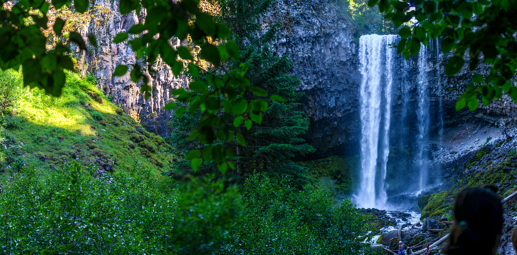 Photo: niiicedave, CC BY-SA 2.0 (via Flickr)
Lamberson Spur #644
~2 min drive
1.89-mile out-and-back trail in Oregon with 1,328 ft gain.
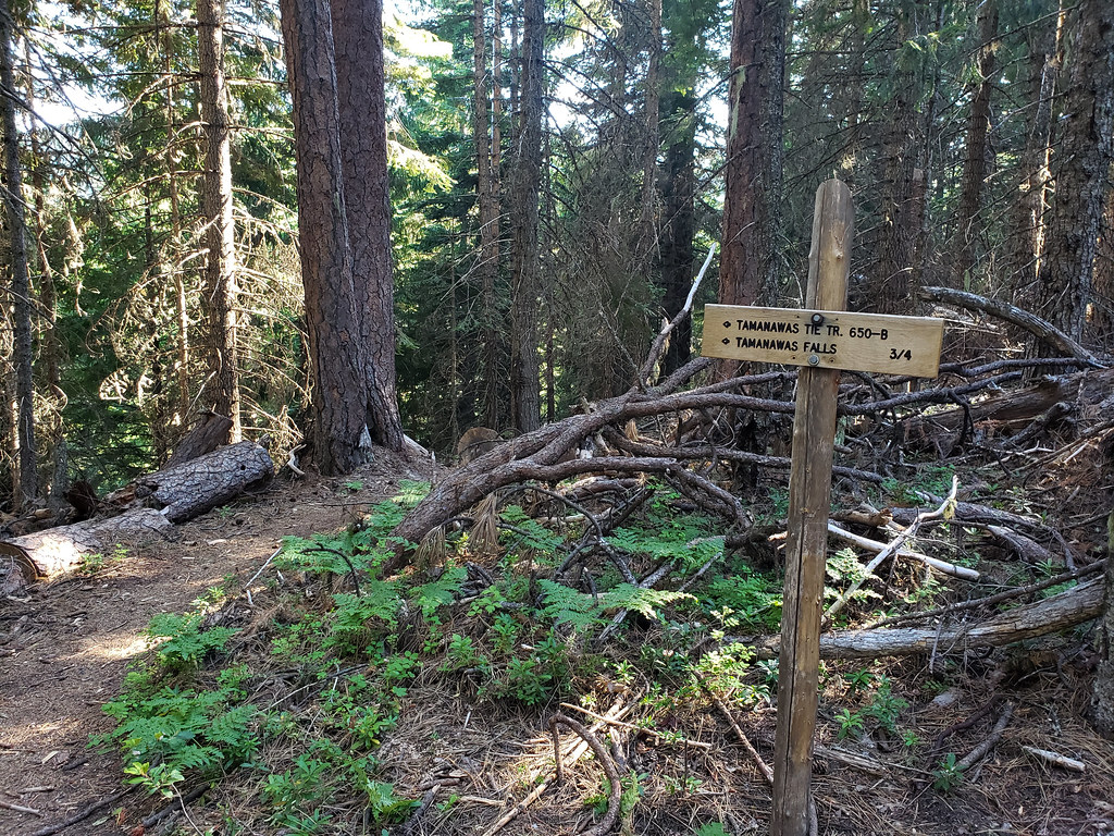 Photo: niiicedave, CC BY-SA 2.0 (via Flickr)
Tamanawas Tie
~3 min drive
0.76-mile out-and-back trail in Oregon with 171 ft of elevation gain.
 Photo: inkknife_2000 (7.5 million views +), CC BY-SA 2.0 (via Wikimedia Commons)
Eliot Glacier
~4 min drive
2.10-mile out-and-back trail in Oregon with 834 ft elevation gain.
 Photo: inkknife_2000 (7.5 million views +), CC BY-SA 2.0 (via Wikimedia Commons)
Elk Cove Trail #631
~7 min drive
4.66-mile out-and-back trail in Oregon with 393 ft elevation gain.
 Photo: lumachrome, CC BY-SA 2.0 (via Flickr)
Tilly Jane Ski Trail #643
~3 min drive
5.06-mile out-and-back ski trail in Oregon with 2,086 ft gain/loss.
Photo: inkknife_2000 (7.5 million views +), CC BY-SA 2.0 (via Wikimedia Commons)Tilly Jane
~3 min drive
1.60-mile out-and-back trail in Oregon with 292 ft gain.
Photo: inkknife_2000 (7.5 million views +), CC BY-SA 2.0 (via Wikimedia Commons)Cooper Spur Trail #600B
~4 min drive
2.56-mile out-and-back trail in Oregon with 2,864 ft elevation gain
 Photo: BFS Man from Webster, TX, USA, CC BY 2.0 (via Wikimedia Commons)
Elk Meadows Trail #645
~8 min drive
8.63-mile out-and-back trail in Oregon with 1,699 ft gain.
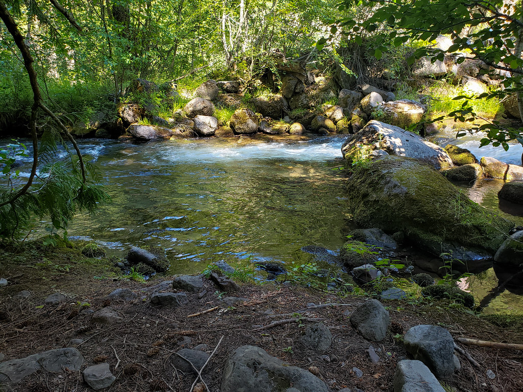 Photo: niiicedave, CC BY-SA 2.0 (via Flickr)
Tamanawas Falls
~4 min drive
2.20-mile out-and-back to Tamanawas Falls in Oregon with 1,035 ft gain.
Photo: niiicedave, CC BY-SA 2.0 (via Flickr)Pete's Pile climbers trail
~4 min drive
0.7-mile out-and-back trail in Oregon with 492 ft elevation gain.

