Oregon Coast Trail
- 1.0 mi
- round trip
- 1,205 ft
- climb
- 446 ft
- high point
- Out and back
- route
- Feb–Nov
- best months
The Oregon Coast Trail is a 2-mile out-and-back hike in the Samuel H. Boardman State Scenic Corridor on the Oregon coast, within city land in the corridor. The route rises steadily to a high point of about 450 feet, with a total elevation gain of roughly 1,200 feet over the round trip, and the steepest stretch comes near mile 0.8, where the grade reaches about 46%. The trail starts at a low point of about 270 feet and ends at nearly the same level, making it a climb with a return. Summer is the most comfortable time to go. Typical averages from a nearby weather station in Brookings show July and September highs around 67°F, with lows in the low 50s, while winter highs sit in the mid-50s with lows in the low 40s. That station sits about 360 feet lower than the trail, so temperatures on the trail run a little cooler. The hike takes about 1.5 hours to complete. Indian Sands Trail lies about 0.6 miles away. Paddlers can reach the North Fork Chetco River at about 5 miles and the South Fork Pistol River at about 7 miles. Redwood Nature, a hiking spot, is about 9 miles off.
Local outfitters
- Turtle Rock RV Resort16 mi away
- John Carl Guide Service31 mi away
Not on Roamze yet. Their page has how to reach them.
 Indian Sands TrailHikingPhoto: eugene_o, CC BY 2.0 (via Flickr)0.6 mi
- North Fork Chetco RiverCanoeing5.3 mi
- South Fork Pistol RiverCanoeing6.6 mi
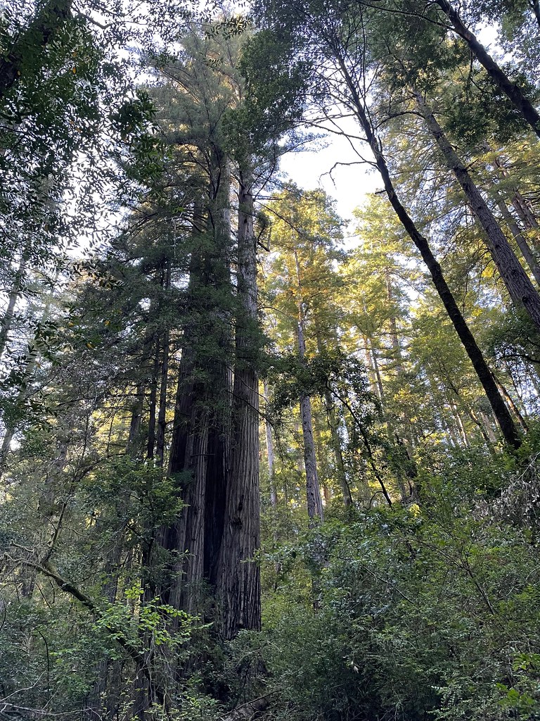 Redwood NatureHikingPhoto: bsterling, CC BY-SA 2.0 (via Flickr)9.1 mi
 Riverview Nature TrailHikingPhoto: Rick Obst, CC BY 2.0 (via Flickr)9.6 mi
- Miller BarCamping9.7 mi
Source: Roamze catalog (indexable pages within 10 miles, PostGIS distance)
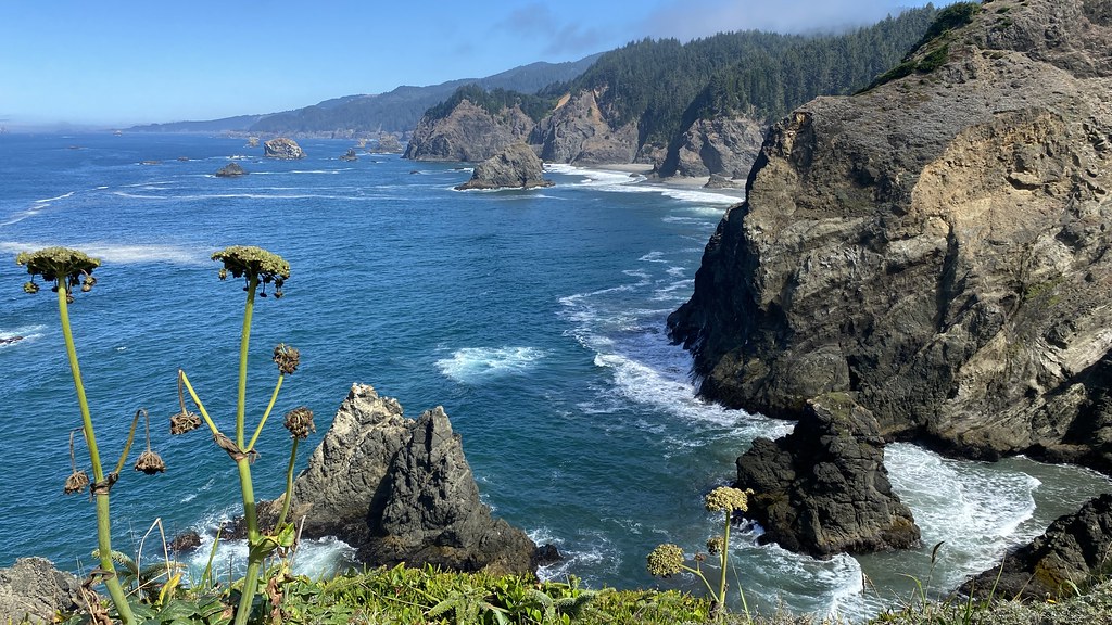 Oregon Coast TrailHiking · Next doorPhoto: lamblukas, CC BY 2.0 (via Flickr)
- Indian Sands TrailHiking · ~1 min drivePhoto: eugene_o, CC BY 2.0 (via Flickr)
 Chetco DivideHiking · ~32 min drivePhoto: Forest Service Pacific Northwest Region, Public Domain Mark (via Flickr)
 Red MountainHiking · ~33 min drivePhoto: U.S. Forest Service- Pacific Northwest Region, Public domain (via Wikimedia Commons)
- Gardner MineHiking · ~33 min drivePhoto: Forest Service Pacific Northwest Region, Public Domain Mark (via Flickr)
 Oregon Coast TrailHiking · ~4 min drivePhoto: Šarūnas Burdulis from USA, CC BY-SA 2.0 (via Wikimedia Commons)
 Oregon Coast TrailHiking · ~3 min drivePhoto: zappowbang, CC BY-SA 2.0 (via Flickr)
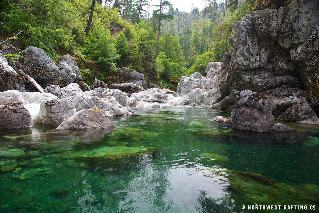 TincupHiking · ~32 min drivePhoto: Northwest Rafting Company, CC BY 2.0 (via Flickr)
 SourdoughHiking · ~38 min drivePhoto: Northwest Rafting Company, CC BY 2.0 (via Flickr)
 Oregon Coast TrailHiking · ~7 min drivePhoto: Roger Sylvia, CC BY-SA 3.0 (via Wikimedia Commons)
Best time to visit Oregon Coast Trail
Best months: February–November. Best months have typical highs of 55–85 °F, lows of 30 °F or warmer (32 °F where the station doesn't record snow), at most one snowy day and no more than 12 wet days.
Jan
54° / 44°
Feb
55° / 43°
Mar
55° / 43°
Apr
58° / 45°
May
62° / 48°
Jun
65° / 51°
Jul
67° / 53°
Aug
66° / 54°
Sep
67° / 52°
Oct
63° / 49°
Nov
57° / 46°
Dec
53° / 43°
Typical high / low (°F) and days with rain or snow, 1991–2020. Measured at Brookings, OR, 9.1 mi away at 82 ft. This station doesn't record snowfall. Source: NOAA NCEI U.S. Climate Normals 1991–2020.


Map and trail data © OpenStreetMap contributors
