North Umpqua Trail: Hot Springs
- 1.6 mi
- round trip
- 1,756 ft
- climb
- 2,896 ft
- high point
- Out and back
- route
- Jun, Aug–Oct
- best months
Is North Umpqua Trail: Hot Springs open right now?
Alert in the area
The Forest Service lists 6 alerts for Umpqua National Forest.
Tuttle Creek Road Closure
Agency alert covering Umpqua National Forest · USFS · Umpqua National Forest
Fall Prescribed Burning
Agency alert covering Diamond Lake Ranger District · USFS · Diamond Lake Ranger District
Fall Prescribed Burning
Agency alert covering Umpqua National Forest · USFS · Umpqua National Forest
Poole Creek Campground Closed for the 2026 Season
Agency alert covering Umpqua National Forest · USFS · Umpqua National Forest
National Forest Service Road 28 Roadwork
Agency alert covering Umpqua National Forest · USFS · Umpqua National Forest
As of · Source: USFS · Umpqua National Forest. Agencies don't list every closure — check before you go.
The North Umpqua Trail: Hot Springs is a moderate out-and-back hike of about 3.2 miles in the Diamond Lake Ranger District of Oregon's Umpqua National Forest. The trail rises from a low point of 2,635 feet to a high of 2,896 feet, with a total elevation gain and loss of about 1,756 feet. The steepest stretch comes early on, around 0.5 miles in, where the grade reaches about 15%. The route typically takes about two hours, and the Forest Service manages the surrounding land. For planning, summer is the most comfortable time to go. Typical averages from the nearby Toketee Falls weather station, which sits about 800 feet lower, show July and August highs around 85 to 86°F with only about three wet days a month. Winter there runs colder and wetter, with highs in the low 40s and rain on 16 to 19 days a month from November through January. Lemolo #2 Forebay Forest Camp is less than a mile away, and the Umpqua Hot Springs hike is about 1.3 miles off. For an overnight stay, Toketee Lake Campground and Toketee Lake are both within about 1.9 miles.
Local outfitters
- Diamond Lake Resort16 mi away
- Shelter Cove Resort & Marina27 mi away
Not on Roamze yet. Their page has how to reach them.
- Lemolo #2 Forebay Forest CampCamping0.8 mi
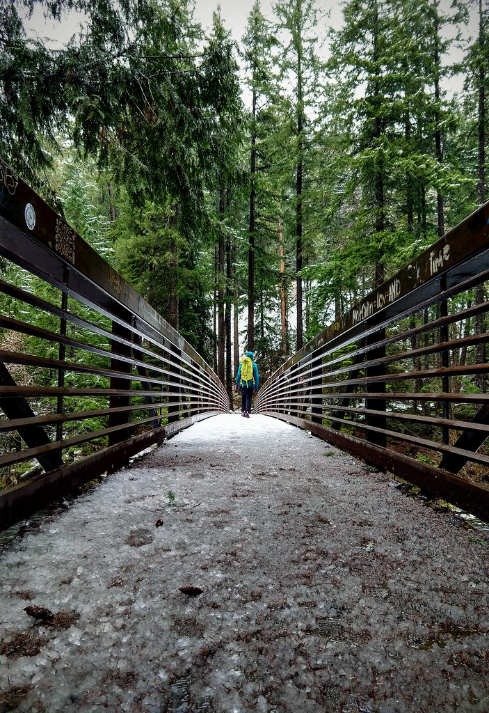 Umpqua Hot SpringsHikingPhoto: OregonDOT — CC BY 2.0 (via Flickr)1.3 mi
 Toketee Group SiteCampingPhoto: Recreation.gov (RIDB) / public domain1.4 mi
 Toketee Lake CampgroundCampingPhoto: Recreation.gov (RIDB) / public domain1.4 mi
 Toketee LakeHikingPhoto: Alexlockhart, CC BY-SA 4.0 (via Wikimedia Commons)1.9 mi
 Pig IronHikingPhoto: randallagordon, CC BY-SA 3.0 (via Wikimedia Commons)2.6 mi
- North Umpqua RiverCanoeing6.8 mi
- Copeland CreekCanoeing8.9 mi
Source: Roamze catalog (indexable pages within 10 miles, PostGIS distance)
- Toketee LakeHiking · ~3 min drivePhoto: Alexlockhart, CC BY-SA 4.0 (via Wikimedia Commons)
- Pig IronHiking · ~4 min drivePhoto: randallagordon, CC BY-SA 3.0 (via Wikimedia Commons)
 Clearwater RiverHiking · ~4 min drivePhoto: randallagordon, CC BY-SA 3.0 (via Wikimedia Commons)
 North Umpqua Trail: Deer LeapHiking · ~10 min drivePhoto: Oregon Department of Transportation, CC BY 2.0 (via Wikimedia Commons)
- Toketee FallsHiking · ~4 min drivePhoto: Alexlockhart, CC BY-SA 4.0 (via Wikimedia Commons)
- Dread & Terror Trail #1461Hiking · ~8 min drive
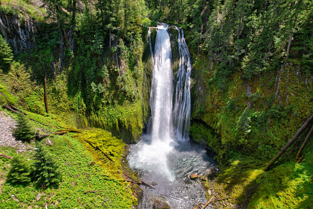 Lemolo FallsHiking · ~16 min drivePhoto: Forest Service Pacific Northwest Region, Public Domain Mark (via Flickr)
 North Umpqua Trail: Jessie WrightHiking · ~15 min drivePhoto: Forest Service Pacific Northwest Region, Public Domain Mark (via Flickr)
- Watson Falls WestHiking · ~5 min drivePhoto: randallagordon, CC BY-SA 3.0 (via Wikimedia Commons)
- Rattlesnake Mountain TrailHiking · ~18 min drive
Best time to visit North Umpqua Trail: Hot Springs
Best months: June and August–October. Best months have typical highs of 55–85 °F, lows of 30 °F or warmer (32 °F where the station doesn't record snow), at most one snowy day and no more than 12 wet days.
Jan
42° / 31°
18 wet · 3 snow
Feb
47° / 32°
16 wet · 2 snow
Mar
53° / 34°
18 wet · 1 snow
Apr
60° / 37°
17 wet
May
70° / 43°
13 wet
Jun
76° / 47°
8 wet
Jul
86° / 52°
3 wet
Aug
85° / 51°
3 wet
Sep
76° / 46°
6 wet
Oct
60° / 39°
11 wet
Nov
47° / 34°
17 wet · 1 snow
Dec
40° / 31°
19 wet · 2 snow
Typical high / low (°F) and days with rain or snow, 1991–2020. Measured at Toketee Falls, OR, 3.2 mi away at 2,060 ft. The station sits about 800 ft lower than this place, so expect it a little cooler here. Source: NOAA NCEI U.S. Climate Normals 1991–2020.
Map and trail data © OpenStreetMap contributors
