Copeland Creek
- 13.2 mi
- distance
- 4,527 ft
- high point
- Jun–Oct
- best months
Is Copeland Creek open right now?
Alert in the area
The Forest Service lists 6 alerts for Umpqua National Forest.
Tuttle Creek Road Closure
Agency alert covering Umpqua National Forest · USFS · Umpqua National Forest
Fall Prescribed Burning
Agency alert covering Diamond Lake Ranger District · USFS · Diamond Lake Ranger District
Fall Prescribed Burning
Agency alert covering Umpqua National Forest · USFS · Umpqua National Forest
Poole Creek Campground Closed for the 2026 Season
Agency alert covering Umpqua National Forest · USFS · Umpqua National Forest
National Forest Service Road 28 Roadwork
Agency alert covering Umpqua National Forest · USFS · Umpqua National Forest
As of · Source: USFS · Umpqua National Forest. Agencies don't list every closure — check before you go.
Copeland Creek is a 13-mile paddling stretch in the Diamond Lake Ranger District of Oregon's Umpqua National Forest, near Idleyld Park. The U.S. Forest Service manages the land along the creek, which flows year-round. A USGS model estimates an average flow of about 85 cubic feet per second and a gradient of roughly 223.7 feet per mile. Summer is the most comfortable time to paddle. Typical averages from a nearby weather station show July and August highs around 79°F with only about four wet days a month, while winter brings highs near 39°F and regular snow days from December through February. The Twin Lakes and Twin Lakes Loop hikes start within about 2 miles. Eagle Rock Campground and Calf Creek, another paddling route, are both about 4 miles away.
Local outfitters
- Diamond Lake Resort22 mi away
- Shelter Cove Resort & Marina35 mi away
Not on Roamze yet. Their page has how to reach them.
- Twin LakesHiking1.6 mi
- Twin Lakes LoopHiking1.9 mi
- Twin Lake WestHiking2.3 mi
- Calf CreekCanoeing4.3 mi
 Eagle Rock CampgroundCampingPhoto: Recreation.gov (RIDB) / public domain4.3 mi
- Illahee GazeboCamping4.6 mi
- Youtlkut PillarsRock climbing6.1 mi
- Black Rock ForkCanoeing6.6 mi
Source: Roamze catalog (indexable pages within 10 miles, PostGIS distance)
 Cavitt CreekCanoeing · ~35 min drivePhoto: Bureau of Land Management Oregon and Washington, Public domain (via Wikimedia Commons)
- Toketee Lake Boat RampBoat launch · ~13 min drive
- Canton Creek CampgroundFloat trip · ~21 min drive
 Middle Fork Willamette RiverCanoeing · ~38 min drivePhoto: Arkyan, CC BY-SA 3.0 (via Wikimedia Commons)
- Gravel Bin River AccessBoat launch · ~20 min drive
 South Umpqua RiverCanoeing · ~22 min drivePhoto: McD22, CC BY 2.0 (via Wikimedia Commons)
- Bogus Raft LaunchBoat launch · ~24 min drive
 Rogue RiverCanoeing · ~35 min drivePhoto: Bob Heims, U.S. Army Corps of Engineers, Public domain (via Wikimedia Commons)
- North End Boat RampBoat launch · ~36 min drive
- Calf CreekCanoeing · ~7 min drive
Also worth it near here
- Eagle Rock CampgroundCamping · ~7 min drive
 North Umpqua Trail: CalfHiking · ~9 min drivePhoto: Forest Service Pacific Northwest Region, Public Domain Mark (via Flickr)
- Youtlkut PillarsRock climbing · ~10 min drive
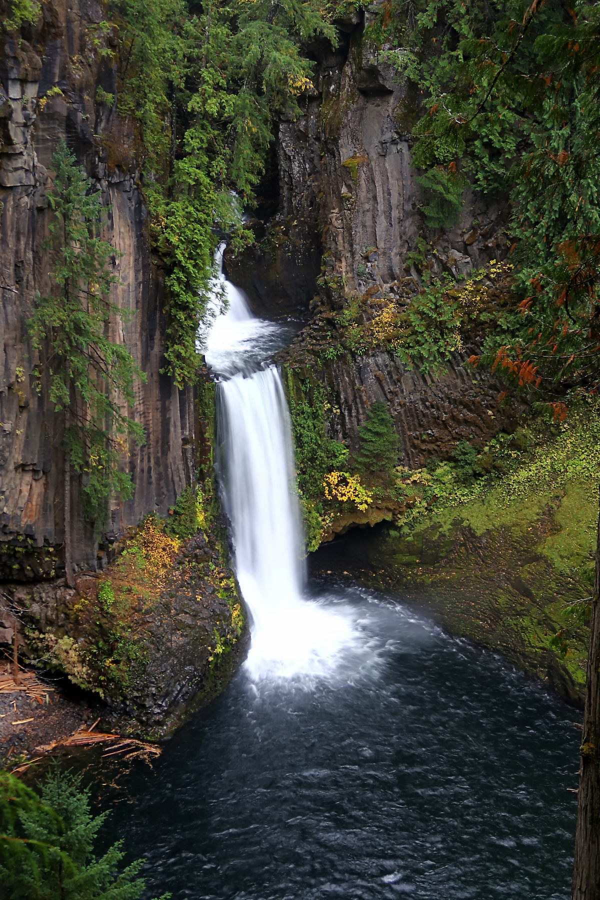 Toketee FallsWaterfall · ~11 min drivePhoto: Alexlockhart, CC BY-SA 4.0 (via Wikimedia Commons)
Best time to visit Copeland Creek
Best months: June–October. Best months have typical highs of 55–85 °F, lows of 30 °F or warmer (32 °F where the station doesn't record snow), at most one snowy day and no more than 12 wet days.
Jan
39° / 27°
17 wet · 10 snow
Feb
42° / 27°
15 wet · 9 snow
Mar
46° / 29°
17 wet · 9 snow
Apr
50° / 32°
17 wet · 5 snow
May
61° / 38°
14 wet · 1 snow
Jun
68° / 43°
9 wet
Jul
79° / 48°
4 wet
Aug
79° / 47°
4 wet
Sep
72° / 43°
6 wet
Oct
58° / 36°
12 wet · 1 snow
Nov
45° / 31°
16 wet · 6 snow
Dec
38° / 26°
18 wet · 11 snow
Typical high / low (°F) and days with rain or snow, 1991–2020. Measured at Lemolo Lake 3 Nnw, OR, 18.7 mi away at 4,077 ft. Source: NOAA NCEI U.S. Climate Normals 1991–2020.
