Mount June
- 2.2 mi
- round trip
- 1,325 ft
- climb
- 4,628 ft
- high point
- Out and back
- route
Is Mount June open right now?
Alert in the area
The Forest Service lists 4 alerts for Umpqua National Forest.
Fall Prescribed Burning
Agency alert covering Umpqua National Forest · USFS · Umpqua National Forest
Poole Creek Campground Closed for the 2026 Season
Agency alert covering Umpqua National Forest · USFS · Umpqua National Forest
National Forest Service Road 28 Roadwork
Agency alert covering Umpqua National Forest · USFS · Umpqua National Forest
Blue-Green Algae Precaution for Diamond and Lemolo Lakes
Agency alert covering Umpqua National Forest · USFS · Umpqua National Forest
As of · Source: USFS · Umpqua National Forest. Agencies don't list every closure — check before you go.
Mount June is a moderate out-and-back hike of about 2.2 miles on the Umpqua National Forest in Oregon, managed by the Forest Service. The trail rises from a starting point around 3,793 feet to a high point of about 4,628 feet, with a total gain of roughly 1,325 feet over the round trip. The climb is rolling, but it gets steep early on, with a 36% grade at about 0.43 miles into the trail. Bikes are allowed, and the trail surface is natural. It is not an accessible route. The trailhead is named Mount June Trailhead, and the hike is open year-round. Plan for about 1.5 hours, and the trail is a short drive from several other outings. Lost Creek is about 2.3 miles away, and Junetta Creek offers canoeing about 2.5 miles off. Climbers can head to (K) Overstory Wall, about 3.9 miles away, and Rujada Campground is about 5.9 miles away for overnight stays.
Local outfitters
- Casey's Riverside RV Resort10 mi away
- Shelter Cove Resort & Marina38 mi away
Not on Roamze yet. Their page has how to reach them.
Keep exploring — more trails worth the drive
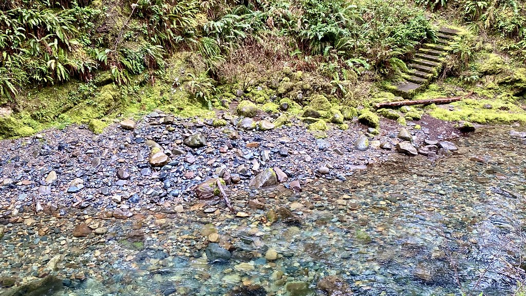 Photo: lamblukas, CC BY 2.0 (via Flickr)
Brice Creek Trail #1403
~15 min drive
7.34-mile out-and-back trail in Oregon with 4,612 ft elevation gain/loss.
 Photo: Alex Abair, CC BY 4.0 (via Wikimedia Commons)
BRICE CREEK
~15 min drive
7.26-mile out-and-back trail in Oregon with 3,531 ft elevation gain/loss.
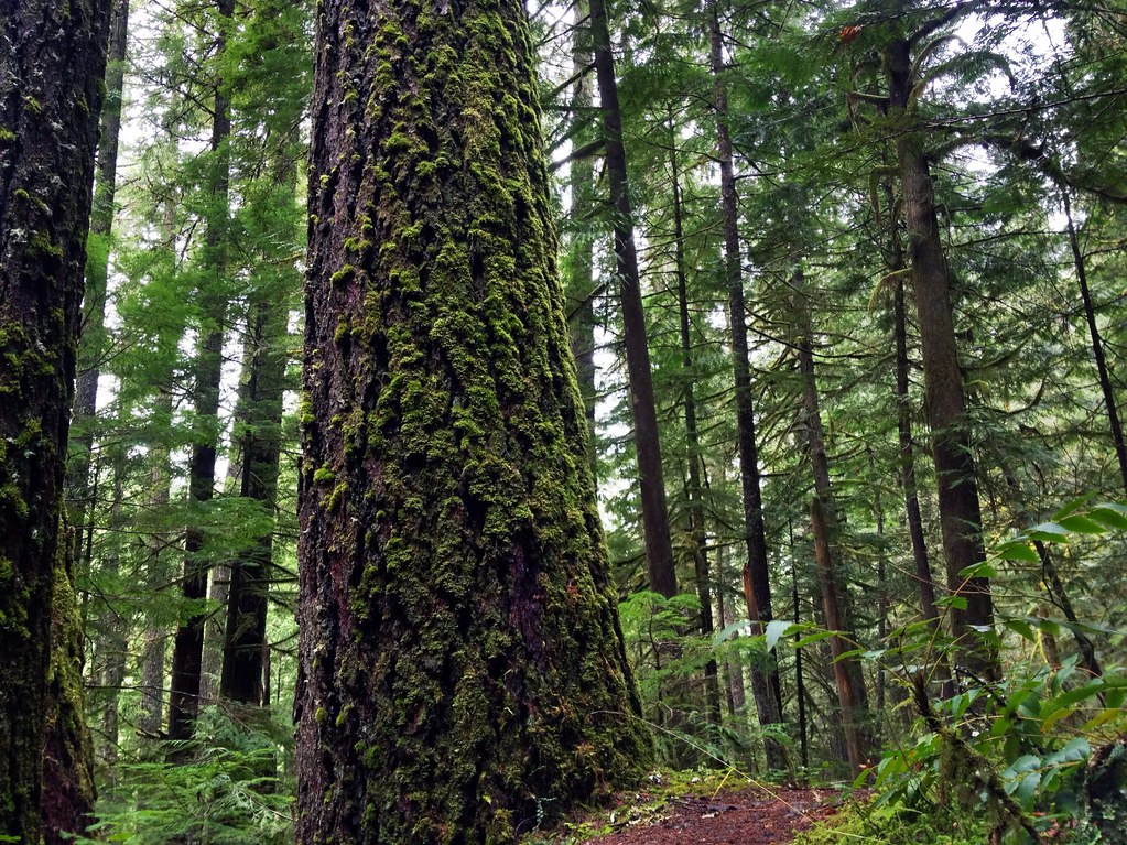 Photo: James Wellington, CC BY 2.0 (via Flickr)
Marten Flume
~17 min drive
0.94-mile out-and-back trail in Oregon with 184 ft of elevation gain.
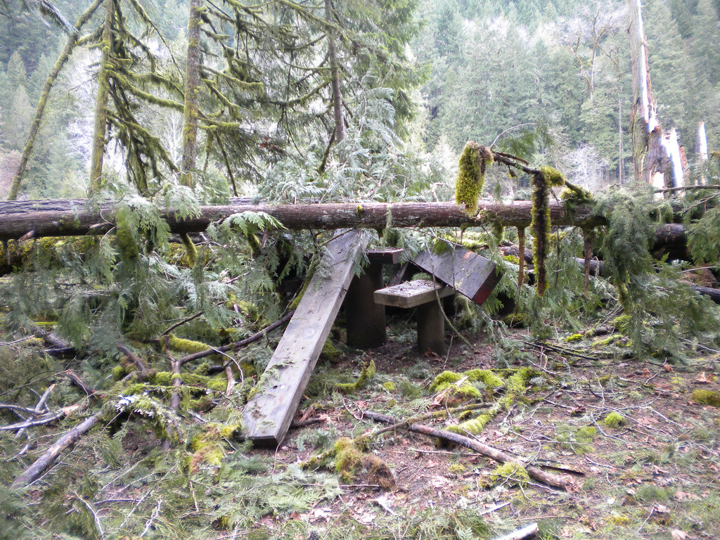 Photo: Forest Service Pacific Northwest Region, Public Domain Mark (via Flickr)
Lower Middle Fork
~18 min drive
3.32-mile out-and-back trail on the Middle Fork in Oregon.
HIKE
Lawler Trail #3473
~11 min drive
13.58-mile out-and-back trail in Oregon with 4,887 ft elevation gain and loss.
Photo: Alex Abair, CC BY 4.0 (via Wikimedia Commons)Crawfish
~16 min drive
8.80-mile out-and-back trail in Oregon with 3,443 ft elevation gain.
Photo: Forest Service Pacific Northwest Region, Public Domain Mark (via Flickr)Wren Loop
~17 min drive
1.60-mile out-and-back trail in Oregon with 185 ft gain.
 Photo: (c) Ed Alverson, some rights reserved (CC BY), CC BY 4.0 (via Wikimedia Commons)
Upper Trestle Creek
~19 min drive
4.34-mile out-and-back trail in Oregon with 1,928 ft elevation gain.
HIKE
Alpine Trail
~18 min drive
16.29-mile out-and-back hike in Oregon with 4,853 ft of elevation gain.
Photo: Forest Service Pacific Northwest Region, Public Domain Mark (via Flickr)Deception Butte
~17 min drive
9.76-mile out-and-back trail in Oregon with 3,764 ft elevation gain
Route details
- Distance
- 2.2 mi round trip
- Climbing
- About 1,325 ft
- Starts at
- Mount June Trailhead (about 3,714 ft)
- Summit
- 4,628 ft
- Difficulty
- Moderate
- Time
- About 1.5 hours
Season
Season: Year-round.
Questions about this route
How long is the Mount June on Mount June?
About 2.2 mi round trip from Mount June Trailhead (about 3,714 ft).
How much elevation gain is on the Mount June?
About 1,325 ft of climbing round trip.
How hard is the Mount June?
It is rated moderate.
Where does the Mount June start?
Mount June Trailhead (about 3,714 ft).
How long does the Mount June take?
About 1.5 hours round trip.
When is the best time for the Mount June?
Year-round.
Conditions and forecast on Mount June
Daily highs and lows, wind and the chance of precipitation at the summit and route start for the next 7 days, from the Open-Meteo model.
