Maiden Peak
- 10.7 mi
- round trip
- 2,744 ft
- climb
- 7,581 ft
- high point
- Out and back
- route
Is Maiden Peak open right now?
Closure in the area
There's a closure order in Willamette National Forest. It doesn't name Maiden Peak, so check the source for the area it covers.
Cedar Creek Fire Closure
Agency closure covering Willamette National Forest · Order 06-18-10-26-04 · USFS · Willamette National Forest
FIRE CLOSURES: Current wildfire closures on the Willamette National Forest
Agency alert covering Willamette National Forest · USFS · Willamette National Forest
2026 Active Wildfire
Agency alert covering Middle Fork Ranger District · USFS · Middle Fork Ranger District
As of · Source: USFS · Willamette National Forest. Agencies don't list every closure — check before you go.
Maiden Peak is a hard hike of about 10.7 miles in the Middle Fork Ranger District of the Willamette National Forest in Oregon. The route is an out-and-back that climbs from a low point of about 4,951 feet to the high point of 7,581 feet, with an elevation gain of about 2,744 feet. The trail is managed by the Forest Service, and its natural surface allows horses and bikes. The trailhead is called Maiden Peak Trailhead, and the route is open year-round. The trip makes a natural pairing with other outings close by. Gold Lake Campground is about a mile away, and Marilyn Lakes is about 0.3 miles off. Gold Lake Nordic (Road Portion) is also about 0.2 miles away. Odell Lake, roughly 4.6 miles out, offers lake fishing.
Local outfitters
- Shelter Cove Resort & Marina3 mi away
- Casey's Riverside RV Resort26 mi away
Not on Roamze yet. Their page has how to reach them.
Keep exploring — more trails worth the drive
 Photo: OregonDOT, CC BY 2.0 (via Flickr)
LOWER MARILYN LAKES NORDIC
~2 min drive
2.82-mile out-and-back trail with 413 ft elevation gain and loss.
 Photo: Bruce Fingerhood from Springfield, Oregon, US, CC BY 2.0 (via Wikimedia Commons)
Pct - Oregon Section E
~4 min drive
74.69-mile point-to-point trail in Oregon with 6,842 ft elevation gain.
 Photo: Šarūnas Burdulis from USA, CC BY-SA 2.0 (via Wikimedia Commons)
Skyline Bike Trail #4383
~4 min drive
3.37-mile out-and-back bike trail in Oregon with 382 ft gain.
Photo: Šarūnas Burdulis from USA, CC BY-SA 2.0 (via Wikimedia Commons)Maiden Lake Trail #3841
~4 min drive
10.86-mile out-and-back hike in Oregon with 2,549 ft elevation gain.
Photo: OregonDOT, CC BY 2.0 (via Flickr)DIAMOND VIEW LOOP NORDIC
~4 min drive
0.68-mile loop trail in Oregon with 256 ft gain and 5,450 ft max elevation.
 Photo: lamblukas, CC BY 2.0 (via Flickr)
WHITEFISH CREEK
~4 min drive
21.64-mile out-and-back trail in Oregon with 2,508 ft elevation gain/loss
Photo: lamblukas, CC BY 2.0 (via Flickr)Yoran Lake Trail
~5 min drive
8.9-mile out-and-back hike to Yoran Lake in Oregon with 1,640 ft gain.
 Photo: U.S. Forest Service- Pacific Northwest Region, Public domain (via Wikimedia Commons)
High Divide Trail #3572
~7 min drive
9.54-mile out-and-back trail in Oregon with 2,936 ft elevation gain and loss.
Photo: Šarūnas Burdulis from USA, CC BY-SA 2.0 (via Wikimedia Commons)MAIDEN LAKE NORDIC
~4 min drive
4.72-mile out-and-back trail in Oregon with 801 ft elevation gain and loss.
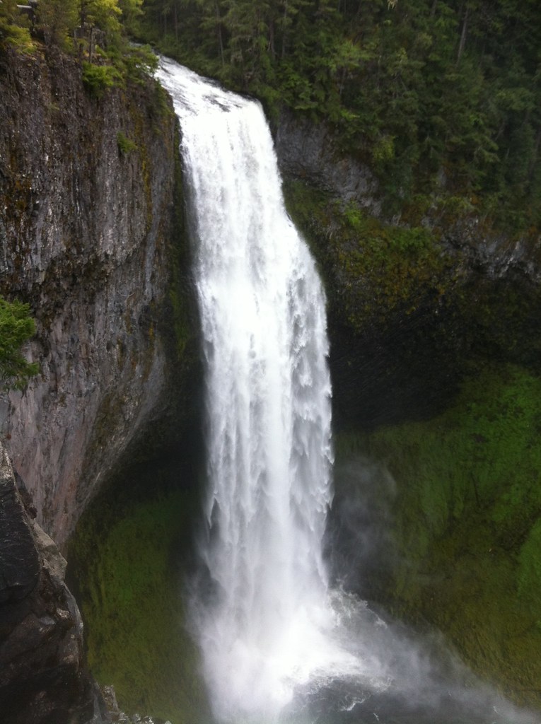 Photo: cjmartin, CC BY 2.0 (via Flickr)
FUJI CREEK NORDIC
~6 min drive
6.62-mile out-and-back trail in Oregon with 2,381 ft elevation gain and loss.
