Lost Creek
 Photo: theslowlane, CC BY 2.0 (via Flickr)
- 0.6 mi
- round trip
- 94 ft
- climb
- 1,654 ft
- high point
- Out and back
- route
- Apr–Jun, Sep–Oct
- best months
Is Lost Creek open right now?
Closure in the area
There's a closure order in Willamette National Forest. It doesn't name Lost Creek, so check the source for the area it covers.
Cedar Creek Fire Closure
Agency closure covering Willamette National Forest · Order 06-18-10-26-04 · USFS · Willamette National Forest
FIRE CLOSURES: Current wildfire closures on the Willamette National Forest
Agency alert covering Willamette National Forest · USFS · Willamette National Forest
As of · Source: USFS · Willamette National Forest. Agencies don't list every closure — check before you go.
Lost Creek is an easy, short out-and-back hike in Oregon's McKenzie River Ranger District, part of the Willamette National Forest. The trail is about 0.6 miles long and sits at an elevation of roughly 1,600 feet, with a low point at 1,603 feet and a high point at 1,654 feet. The total elevation gain for the round trip is about 94 feet. The route is natural-surfaced and open to bikes, and it makes a quick add-on to a longer trip on the McKenzie River Trail. The Forest Service manages the land, and the trail is open year-round. A typical day on the trail takes about half an hour. Summer and early fall are the mildest times to go. Typical averages from a nearby weather station run to highs in the upper 70s in June and around 76 degrees in September, while July and August average highs near 86 degrees. Limberlost Campground and the McKenzie River Trailhead at Paradise Campground are both about a mile away. The Frissel hike is roughly 4 miles off, and the McKenzie River National Recreation Trail is about 4.4 miles away.
Local outfitters
- Horse Creek Lodge & Outfitters5 mi away
- Patio RV Park6 mi away
Not on Roamze yet. Their page has how to reach them.
Best time to go · Apr–Jun, Sep–Oct
Best time to visit Lost Creek
Best months: April–June and September–October. Best months have typical highs of 55–85 °F, lows of 30 °F or warmer (32 °F where the station doesn't record snow), at most one snowy day and no more than 12 wet days.
Jan
43° / 31°
Feb
47° / 32°
Mar
53° / 33°
Apr
61° / 37°
May
70° / 43°
Jun
77° / 47°
Jul
86° / 51°
Aug
86° / 49°
Sep
76° / 45°
Oct
59° / 39°
Nov
47° / 35°
Dec
41° / 31°
Typical high / low (°F) and days with rain or snow, 1991–2020. Measured at Mckenzie Rvr Rs, OR, 2.6 mi away at 1,478 ft. This station doesn't record snowfall. Source: NOAA NCEI U.S. Climate Normals 1991–2020.
Keep exploring — more trails worth the drive
 Photo: theslowlane, CC BY 2.0 (via Flickr)
Frissel
~7 min drive
8.40-mile out-and-back trail in Oregon with 3,882 ft elevation gain.
 Photo: Robert Ashworth from Bellingham, WA., USA, CC BY 2.0 (via Wikimedia Commons)
PROXY FALLS
~12 min drive
1.35-mile loop trail with 429 ft gain and 420 ft loss in Oregon.
 Photo: U.S. Forest Service- Pacific Northwest Region, Public domain (via Wikimedia Commons)
Scott Mountain
~14 min drive
3.20-mile out-and-back trail to Scott Mountain summit in Oregon.
 Photo: Kane5187, CC BY-SA 4.0 (via Wikimedia Commons)
Lowder Mountain Trail #3329
~17 min drive
19.84-mile out-and-back trail in Oregon with 6,757 ft elevation gain and loss.
Photo: Robert Ashworth from Bellingham, WA., USA, CC BY 2.0 (via Wikimedia Commons)Foley Ridge
~12 min drive
15.60-mile out-and-back trail in Oregon with 2,433 ft elevation gain
Photo: Robert Ashworth from Bellingham, WA., USA, CC BY 2.0 (via Wikimedia Commons)Proxy Falls Trail #3532
~12 min drive
1.72-mile out-and-back trail with 451 ft gain in Oregon
 Photo: inkknife_2000 (7.5 million views +), CC BY-SA 2.0 (via Wikimedia Commons)
Linton Lake
~15 min drive
3.32-mile out-and-back trail to Linton Lake in Oregon with 653 ft gain.
HIKE
Mckenzie River National Recreation Trail
~7 min drive
13.30-mile out-and-back trail in Oregon with 6,308 ft elevation gain.
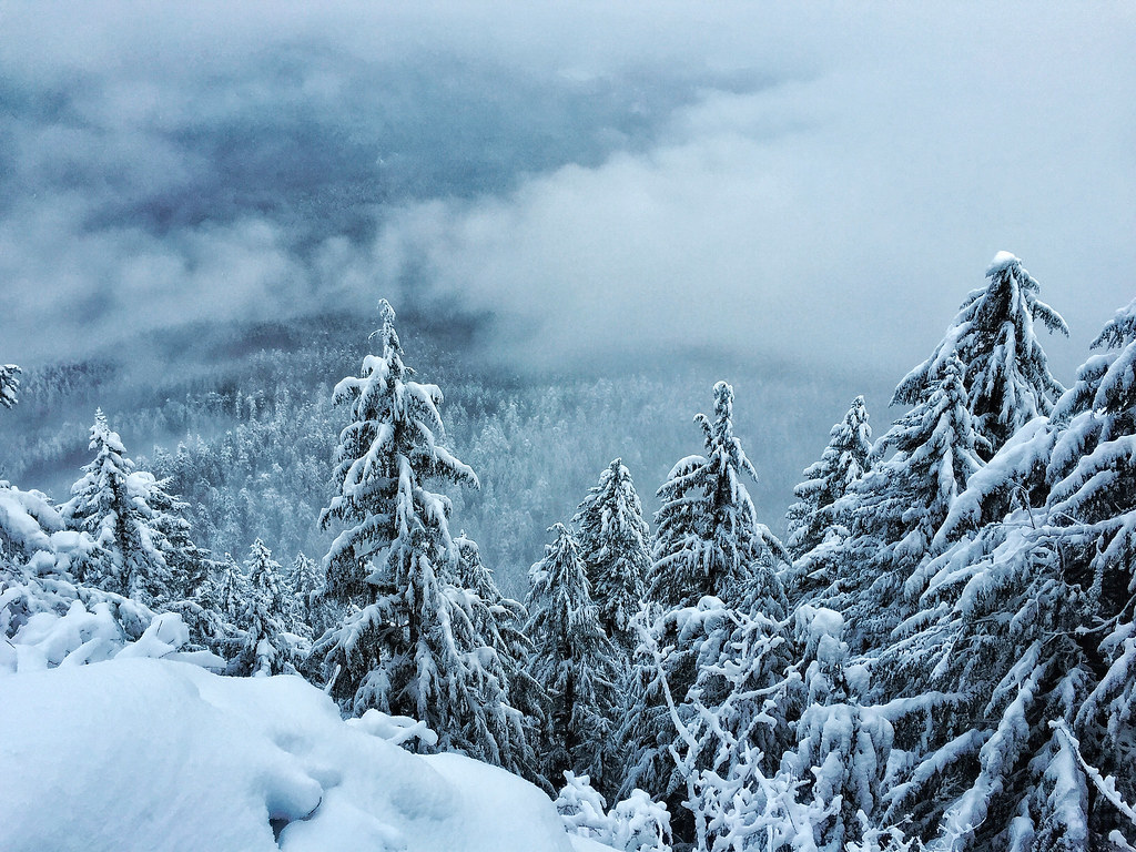 Photo: Forest Service Pacific Northwest Region, Public Domain Mark (via Flickr)
Castle Rock
~13 min drive
9.00-mile out-and-back trail in Oregon with 1,495 ft gain.
 Photo: Bonnie Moreland (free images), Public Domain Mark (via Flickr)
Scott-Obsidian Tie
~17 min drive
1.12-mile out-and-back trail in Oregon with 79 ft elevation gain.
