Scott Lake Campground
Campground
Campground · 1.8 mi from the trail
 Photo: U.S. Forest Service- Pacific Northwest Region, Public domain (via Wikimedia Commons)
Closure in the area
There's a closure order in Willamette National Forest. It doesn't name Scott Mountain, so check the source for the area it covers.
Cedar Creek Fire Closure
Agency closure covering Willamette National Forest · Order 06-18-10-26-04 · USFS · Willamette National Forest
FIRE CLOSURES: Current wildfire closures on the Willamette National Forest
Agency alert covering Willamette National Forest · USFS · Willamette National Forest
As of · Source: USFS · Willamette National Forest. Agencies don't list every closure — check before you go.
Scott Mountain is a 3.2-mile out-and-back hike in Oregon's Mount Washington Wilderness, within the McKenzie River Ranger District of the Willamette National Forest. The trail climbs from about 5,500 feet to a high point of 6,098 feet, with a total elevation gain of 884 feet over the round trip. The steepest stretch comes at about mile 1, where the grade reaches 17 percent. The route is rated moderate, and the trail surface is natural. Horses are allowed, but bikes are not. The Forest Service manages the land, and the trail is open year-round. Plan on about 1.5 hours for the trip. The Benson Lake Trail #3502 starts just 0.1 mile away, and Scotty Way is about half a mile off. For an overnight stay, the Benson Lake/Scott Lake Complex campground sits about 2 miles away, and Alder Springs Campground is roughly 4 miles away.
Scott Lake Campground
Campground
Clearwater Gallery
Gallery
Places © OpenStreetMap contributors
More in SistersNot on Roamze yet. Their page has how to reach them.
Photo: U.S. Forest Service- Pacific Northwest Region, Public domain (via Wikimedia Commons)Hand Lake
~3 min drive
5.60-mile out-and-back trail to Hand Lake in Oregon with 810 ft gain
 Photo: U.S. Forest Service- Pacific Northwest Region, Public domain (via Wikimedia Commons)
HAND LAKE CUTOFF
~4 min drive
1.08-mile out-and-back trail with 425 ft elevation gain in Oregon
 Photo: Bonnie Moreland (free images), Public Domain Mark (via Flickr)
Scott Trail #3531
~4 min drive
10.54-mile out-and-back trail in Oregon with 1,914 ft elevation gain/loss
 Photo: Robert Ashworth from Bellingham, WA., USA, CC BY 2.0 (via Wikimedia Commons)
Pct - Oregon Section F
~10 min drive
107.17-mile point-to-point trail in Oregon, managed by the Forest Service.
 Photo: inkknife_2000 (7.5 million views +), CC BY-SA 2.0 (via Wikimedia Commons)
Linton Lake
~8 min drive
3.32-mile out-and-back trail to Linton Lake in Oregon with 653 ft gain.
Photo: U.S. Forest Service- Pacific Northwest Region, Public domain (via Wikimedia Commons)Hand Lake Cutoff #4344
~4 min drive
1.16-mile out-and-back trail with 322 ft gain and loss in Oregon.
 Photo: Greg Willis from Denver, CO, usa, CC BY-SA 2.0 (via Wikimedia Commons)
Millican Crater
~12 min drive
8.30-mile out-and-back trail at Millican Crater in Oregon
HIKE
Deer Butte Trail #3508
~8 min drive
17-mile out-and-back trail in Oregon with 3,077 ft elevation gain and loss.
Photo: Greg Willis from Denver, CO, usa, CC BY-SA 2.0 (via Wikimedia Commons)North Matthieu Lake
~11 min drive
4.18-mile out-and-back to North Matthieu Lake in Oregon with 802 ft gain
Photo: Bonnie Moreland (free images), Public Domain Mark (via Flickr)Scott-Obsidian Tie
~5 min drive
1.12-mile out-and-back trail in Oregon with 79 ft elevation gain.
Also worth it near here
 Photo: inkknife_2000 (7.5 million views +), CC BY-SA 2.0 (via Wikimedia Commons)
Benson
~1 min drive
 Photo: Forest Service Pacific Northwest Region — Public Domain Mark 1.0 (via Flickr)
Scott Lake Campground
~3 min drive
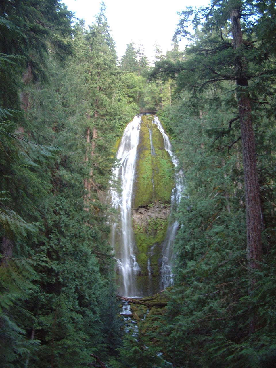 Photo: Ljmajer, Public domain (via Wikimedia Commons)
Proxy Falls
~8 min drive
SEE
Olallie Boating Site
~11 min drive
Season: Year-round.
About 3.2 mi round trip.
About 884 ft of climbing round trip.
It is rated moderate.
About 1.5 hours round trip.
Year-round.
Daily highs and lows, wind and the chance of precipitation at the summit and route start for the next 7 days, from the Open-Meteo model.
