North Fork Segment #1
 Photo: Bruce Fingerhood from Springfield, Oregon, US, CC BY 2.0 (via Wikimedia Commons)
- 9.8 mi
- round trip
- 2,105 ft
- climb
- 1,294 ft
- high point
- Out and back
- route
- May–Oct
- best months
Is North Fork Segment #1 open right now?
Closure in the area
There's a closure order in Willamette National Forest. It doesn't name North Fork Segment #1, so check the source for the area it covers.
Cedar Creek Fire Closure
Agency closure covering Willamette National Forest · Order 06-18-10-26-04 · USFS · Willamette National Forest
FIRE CLOSURES: Current wildfire closures on the Willamette National Forest
Agency alert covering Willamette National Forest · USFS · Willamette National Forest
2026 Active Wildfire
Agency alert covering Middle Fork Ranger District · USFS · Middle Fork Ranger District
As of · Source: USFS · Willamette National Forest. Agencies don't list every closure — check before you go.
North Fork Segment #1 is a 9.8-mile out-and-back hike in Oregon's Willamette National Forest, within the Middle Fork Ranger District. The route rises from a low point of 1,075 feet to a high of 1,294 feet, with a total elevation gain of 337 feet. The Forest Service manages the land, and the trail is open year round. Summer is the most comfortable time to go. Typical averages from the nearby Oakridge Fish Hatchery weather station show July and August highs in the low 80s °F with only two or three wet days a month, while winter months see highs in the low to mid 40s and rain on 14 to 17 days. The trail is natural-surface and open to horses and bikes. Alpine Trail starts less than a mile away, and Lower Middle Fork is about 1.7 miles off. Deception Creek offers canoeing about 3 miles out, and Black Canyon Campground and Picnic sits roughly 4.8 miles from the route.
Local outfitters
- Casey's Riverside RV Resort2 mi away
- Shelter Cove Resort & Marina26 mi away
Not on Roamze yet. Their page has how to reach them.
Best time to go · May–Oct
Best time to visit North Fork Segment #1
Best months: May–October. Best months have typical highs of 55–85 °F, lows of 30 °F or warmer (32 °F where the station doesn't record snow), at most one snowy day and no more than 12 wet days.
Jan
44° / 31°
16 wet · 1 snow
Feb
49° / 32°
14 wet · 1 snow
Mar
54° / 34°
16 wet · 1 snow
Apr
59° / 37°
15 wet
May
66° / 43°
11 wet
Jun
71° / 47°
7 wet
Jul
80° / 51°
3 wet
Aug
81° / 50°
2 wet
Sep
76° / 45°
5 wet
Oct
63° / 40°
10 wet
Nov
49° / 35°
15 wet
Dec
42° / 32°
17 wet · 1 snow
Typical high / low (°F) and days with rain or snow, 1991–2020. Measured at Oakridge Fish Hatchery, OR, 2.9 mi away at 1,275 ft. Source: NOAA NCEI U.S. Climate Normals 1991–2020.
Keep exploring — more trails worth the drive
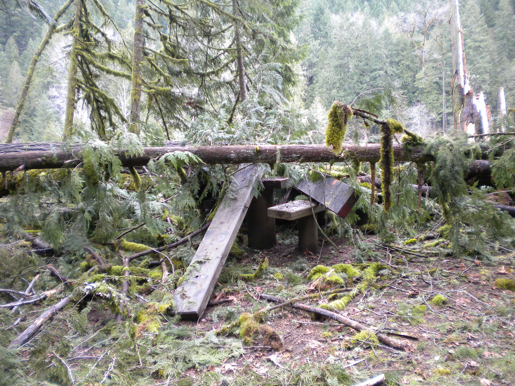 Photo: Forest Service Pacific Northwest Region, Public Domain Mark (via Flickr)
Lower Middle Fork
~3 min drive
3.32-mile out-and-back trail on the Middle Fork in Oregon.
Photo: Forest Service Pacific Northwest Region, Public Domain Mark (via Flickr)Deception Butte
~3 min drive
9.76-mile out-and-back trail in Oregon with 3,764 ft elevation gain
Photo: Forest Service Pacific Northwest Region, Public Domain Mark (via Flickr)Wren Loop
~3 min drive
1.60-mile out-and-back trail in Oregon with 185 ft gain.
HIKE
Alpine Trail
~2 min drive
16.29-mile out-and-back hike in Oregon with 4,853 ft of elevation gain.
HIKE
Alpine Trail
~1 min drive
1.68-mile out-and-back trail in Oregon with 980 ft elevation gain.
HIKE
Larison Rock Trail #3607
~6 min drive
6.26-mile out-and-back trail in Oregon with 4,074 ft gain and loss.
 Photo: johnynek, CC BY-SA 2.0 (via Flickr)
Greenwaters
~4 min drive
1.32-mile loop in Oregon with 286 ft gain and 299 ft loss.
HIKE
Dead Mountain Trail
~8 min drive
5.76-mile out-and-back hike in Oregon with 1,199 ft elevation gain.
HIKE
Cloverpatch Tie
~6 min drive
2.66-mile out-and-back trail in Oregon with 1,390 ft gain.
HIKE
Eugene to Pacific Crest
~7 min drive
Epic 51-mile out-and-back from Eugene to the Pacific Crest Trail.
