Lick Creek Trail #1809
- 4.4 mi
- round trip
- 3,530 ft
- climb
- 7,022 ft
- high point
- Out and back
- route
Is Lick Creek Trail #1809 open right now?
Closure in the area
There's a closure order in Wallowa-Whitman National Forest. It doesn't name Lick Creek Trail #1809, so check the source for the area it covers.
Anthony Fire Area Closure
Agency closure covering Wallowa-Whitman National Forest · USFS · Wallowa-Whitman National Forest
PHASE B FIRE RESTRICTIONS WALLOW-WHITMAN NATIONAL FOREST
Agency alert covering Wallowa-Whitman National Forest · Order 06-16-00-25-01 · USFS · Wallowa-Whitman National Forest
PHASE A FIRE RESTRICTIONS Wallowa-Whitman NATIONAL FOREST
Agency alert covering Wallowa-Whitman National Forest · Order 06-16-00-25-00 · USFS · Wallowa-Whitman National Forest
As of · Source: USFS · Wallowa-Whitman National Forest. Agencies don't list every closure — check before you go.
Lick Creek Trail #1809 is a hard hike in Oregon's Hells Canyon National Recreation Area, part of the Wallowa-Whitman National Forest. The trail is an out-and-back that starts at Lick Creek Trailhead and climbs steadily to a high point of 7,022 feet, with a total elevation gain of 3,530 feet over the round trip. The one-way distance is about 4.4 miles, and the route reaches its steepest stretch at about 2.4 miles in, where the grade hits 32%. The trail begins at roughly 6,060 feet and ends at about 5,325 feet, so the climb is roughly balanced with the descent. Plan on about 4.5 hours for the trip. Lick Creek Campground sits about 1.9 miles away, and Indian Crossing Campground is about 2.5 miles off. Twin Lakes Trail 1874 and Duck Lake Trail 1875 are both within about 2.5 miles.
Local outfitters
- Oregon Backcountry Outfitting17 mi away
- Cornucopia Lodge & Packstation18 mi away
Not on Roamze yet. Their page has how to reach them.
- Lick Creek CampgroundCamping1.9 mi
- Twin Lakes Trail 1874Hiking2.3 mi
- Indian Crossing CampgroundCamping2.5 mi
- Duck Lake Trail 1875Hiking2.5 mi
- Deadman TrailHiking3.5 mi
 Imnaha RiverCanoeingPhoto: Sam Beebe, CC BY 2.0 (via Wikimedia Commons)3.6 mi
- Twin Lakes CampgroundCamping3.9 mi
- North Fork Imnaha RiverCanoeing5.5 mi
Source: Roamze catalog (indexable pages within 10 miles, PostGIS distance)
 Redmont TrailHiking · ~12 min drivePhoto: Forest Service Pacific Northwest Region, Public Domain Mark (via Flickr)
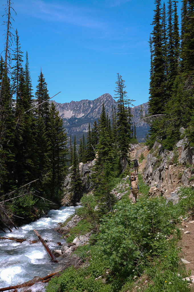 Sentinel Peak WaytrailHiking · ~15 min drivePhoto: ilya_ktsn, CC BY 2.0 (via Flickr)
 Polaris TrailHiking · ~16 min drivePhoto: ilya_ktsn, CC BY 2.0 (via Flickr)
 High Wallowa-East Peak TrailHiking · ~18 min drivePhoto: randallagordon, CC BY-SA 3.0 (via Wikimedia Commons)
 Ice Lake TrailHiking · ~20 min drivePhoto: U.S. Forest Service- Pacific Northwest Region, Public domain (via Wikimedia Commons)
- Royal Purple Mine TrailHiking · ~18 min drivePhoto: randallagordon, CC BY-SA 3.0 (via Wikimedia Commons)
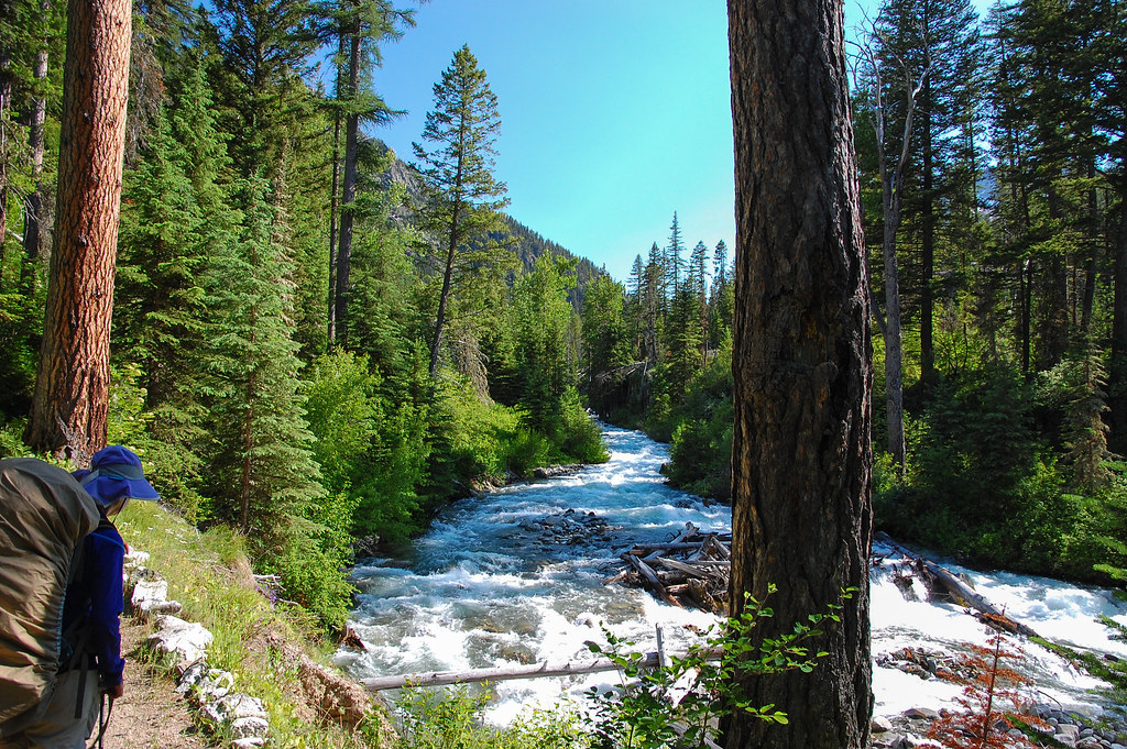 West Fork Wallowa TrailHiking · ~19 min drivePhoto: ilya_ktsn, CC BY 2.0 (via Flickr)
- Ice Lake TrailHiking · ~19 min drivePhoto: ilya_ktsn, CC BY 2.0 (via Flickr)
- East Fork Wallowa TrailHiking · ~21 min drivePhoto: randallagordon, CC BY-SA 3.0 (via Wikimedia Commons)
 Mt. Howard summit loopHiking · ~18 min drivePhoto: ilya_ktsn, CC BY 2.0 (via Flickr)
Map and trail data © OpenStreetMap contributors
